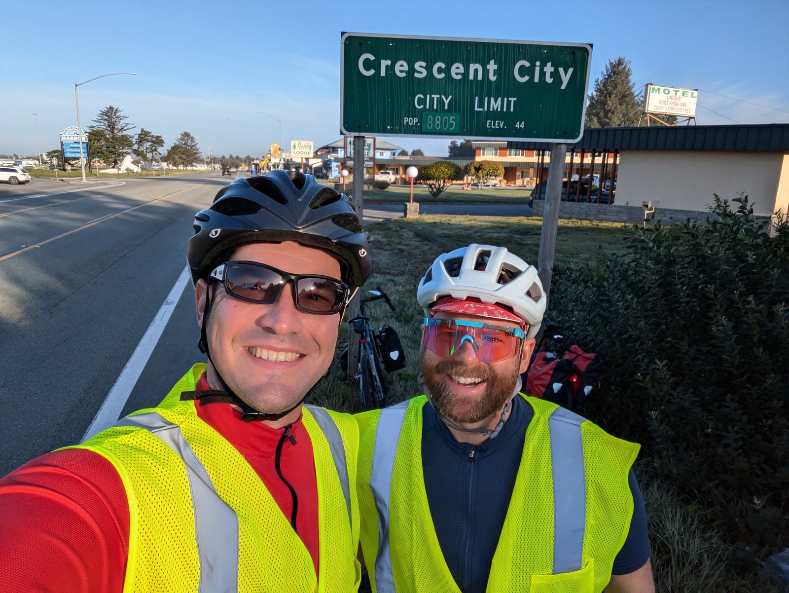
Earlier this month, I rode from Crescent City to San Francisco. Together with my 2009 ride from San Francisco to Los Angeles, I’ve now cycled almost the entire California coast.
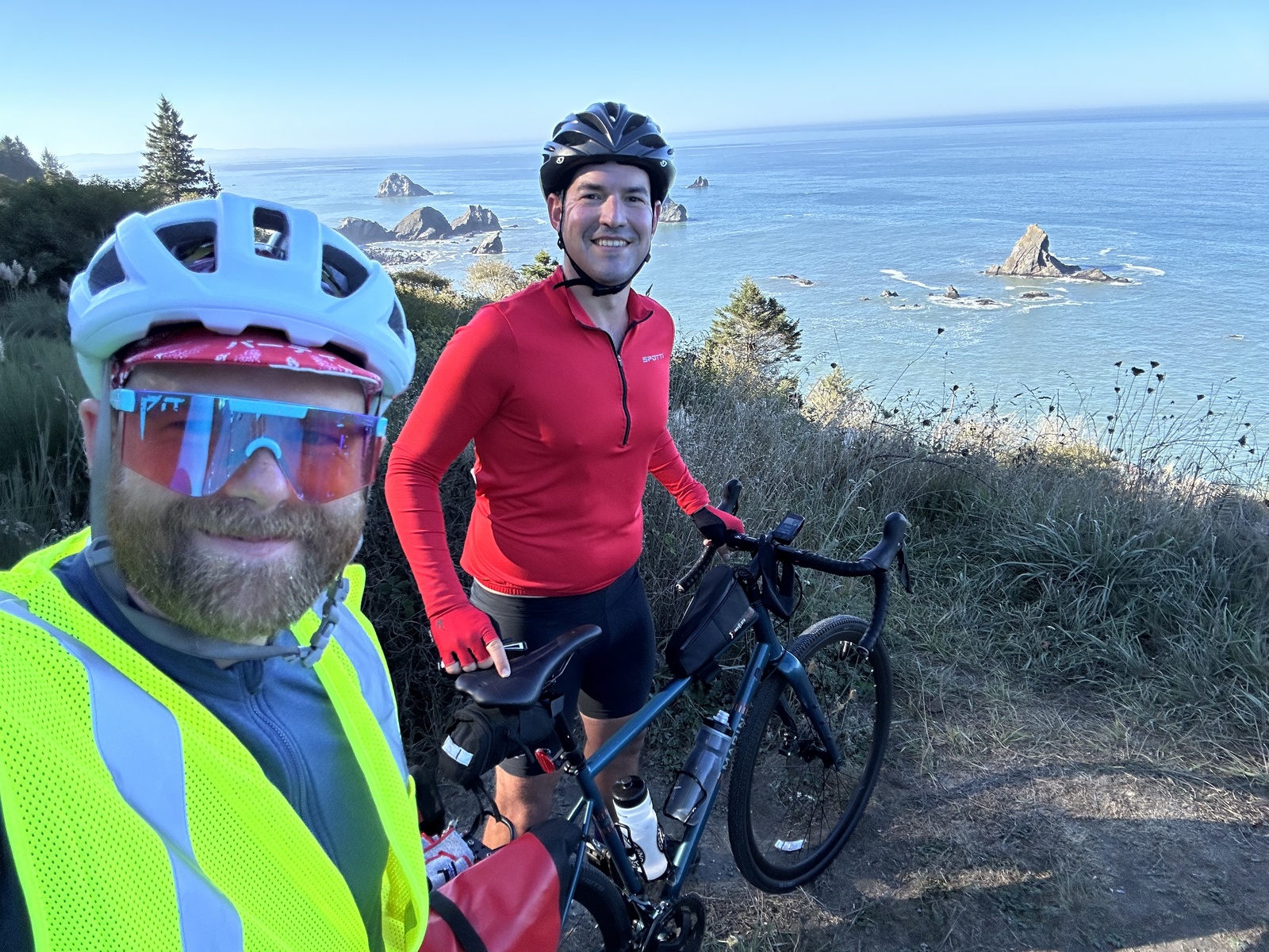
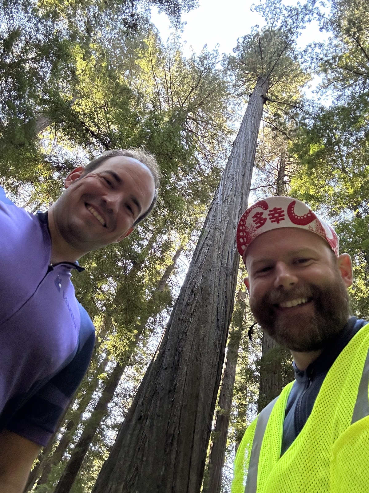
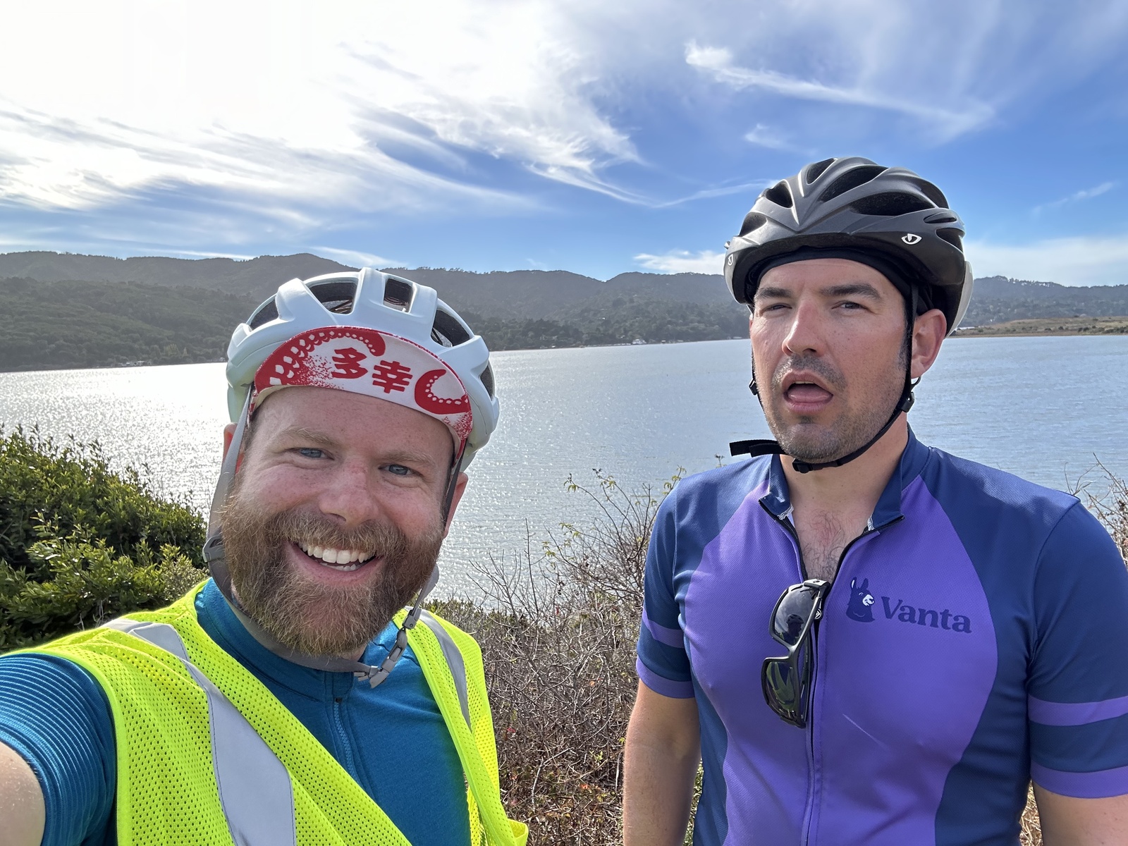
S is also a recently-unemployed engineering executive and was surprisingly game for this whimsical journey considering that he didn’t own a road bike until July. S is familiar with endurance training (marathons, backcountry skiing, etc), and the only thing you have to do when bike touring is get to the next place by sundown… We did a few training rides over the summer to warm up and it all went well!
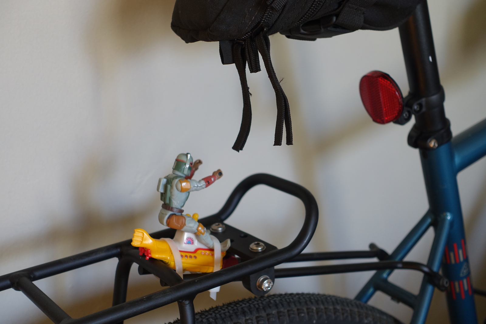
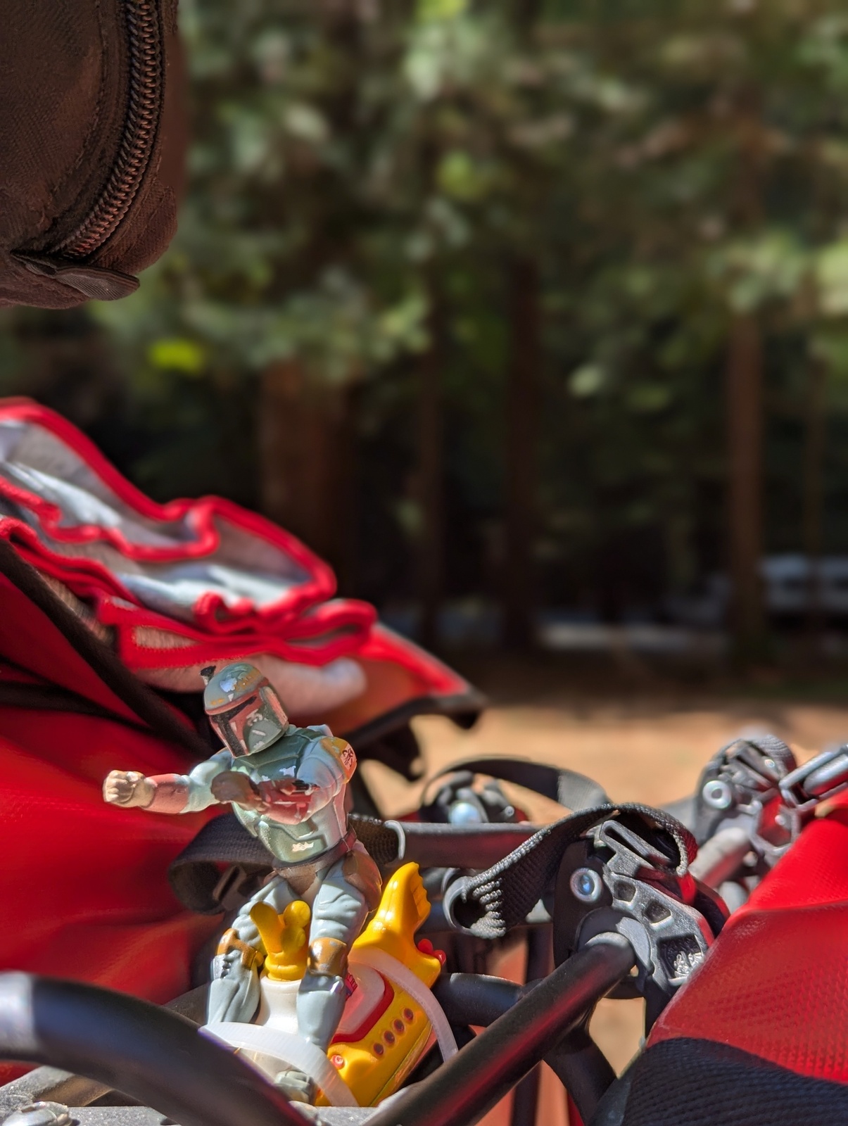
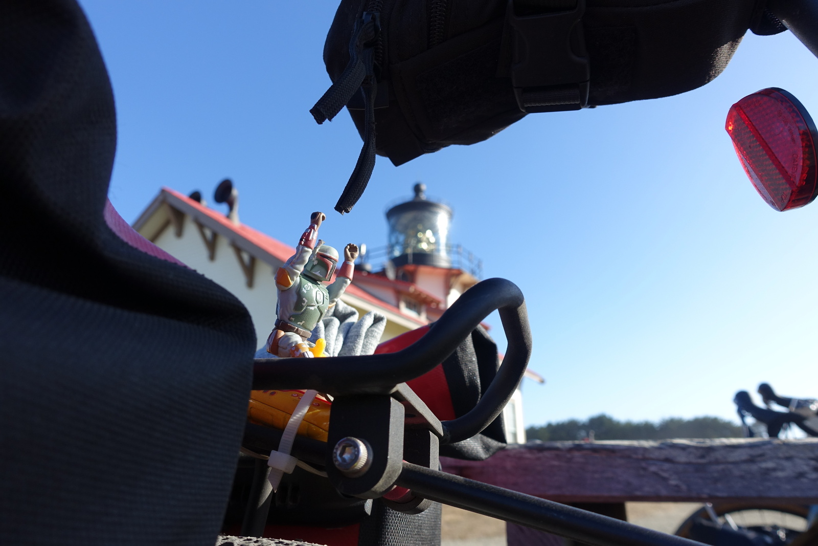
My other companions on the trip were Boba Fett and the Yellow Submarine, handpicked by L and F and ziptied to my bike rack.
The four of us followed the Adventure Cycling Association’s Pacific Coast route and broke it up, attempting to balance bigger days with recovery.
| Distance (miles) | Elevation gain (feet) | |
|---|---|---|
| Day 1: Crescent City → Orick | 38.5 | 2697 |
| Day 2: Orick → Scotia | 83.2 | 3356 |
| Day 3: Scotia → Garberville | 48.0 | 1877 |
| Day 4: Garberville → Fort Bragg | 67.6 | 5230 |
| Day 5: Fort Bragg → Gualala | 63.6 | 4462 |
| Day 6: Gualala → Inverness | 86.0 | 6273 |
| Day 7: Inverness → San Francisco | 51.5 | 2385 |
| Total | 438.4 | 26280 |
Day 0: OAK → Crescent City
To get to Crescent City, we did a one-way pickup rental from OAK (“San Francisco Bay Oakland Airport” smh) to Crescent City. Driving into SF during rush hour was a nice reminder why I refuse to commute by car, and it wasn’t clear that my plan to bungee-cord the bikes to the bed draped over cardboard that I’d saved over the last few weeks would work, but hey, it did!
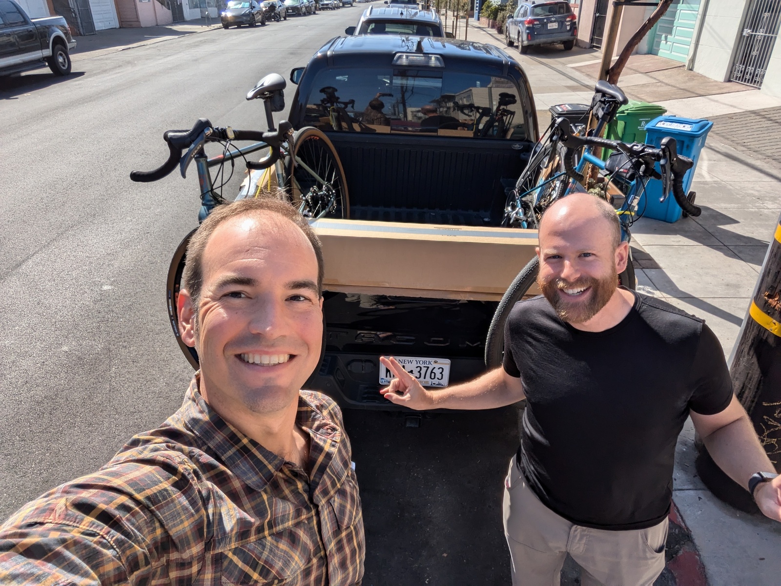
The drive was uneventful, and we got to scope out US-101 on the way up. Our cab driver from the airport told us about her ten children and how she was pregnant with her youngest at the same time that two of her daughters were pregnant(!), and this was but a foretaste of the delightful people we’d meet on this trip.
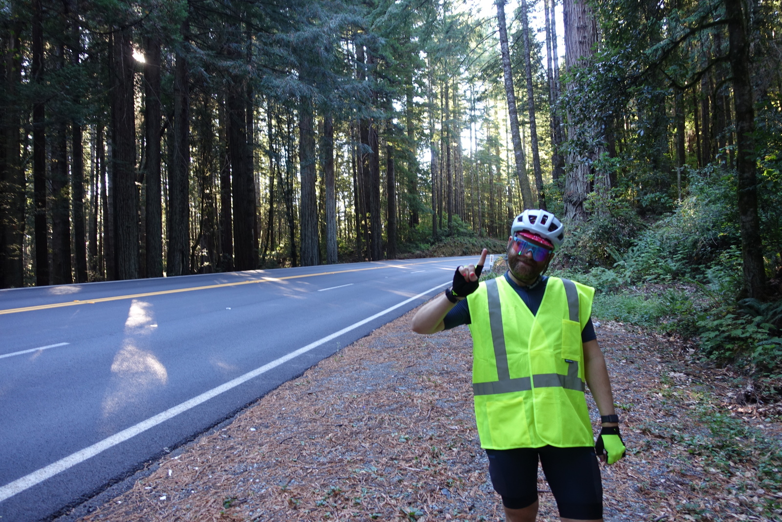
Day 1: Crescent City → Orick
38.5 miles, 2697’ elevation gain
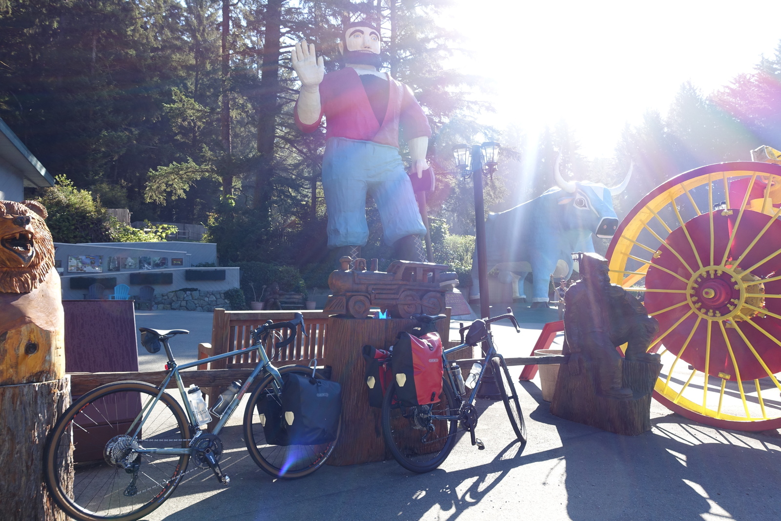
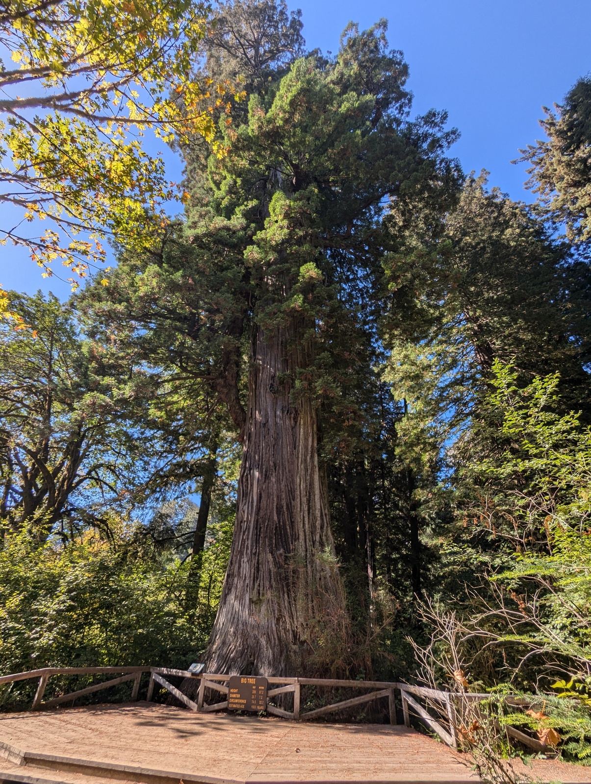
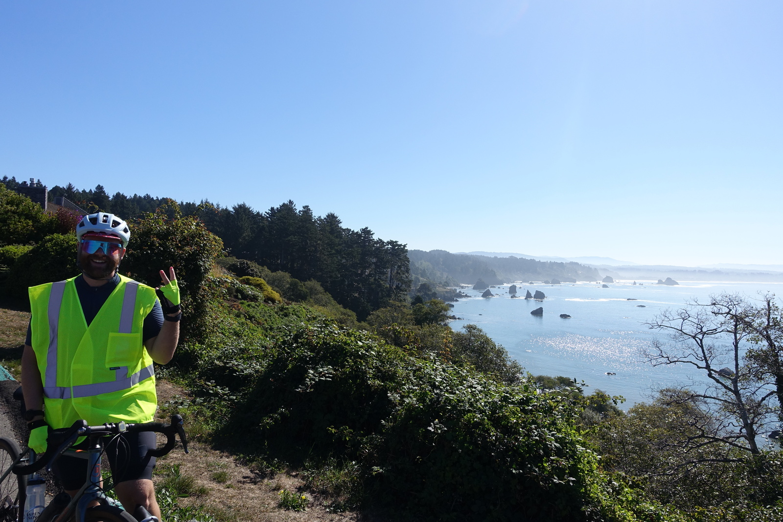
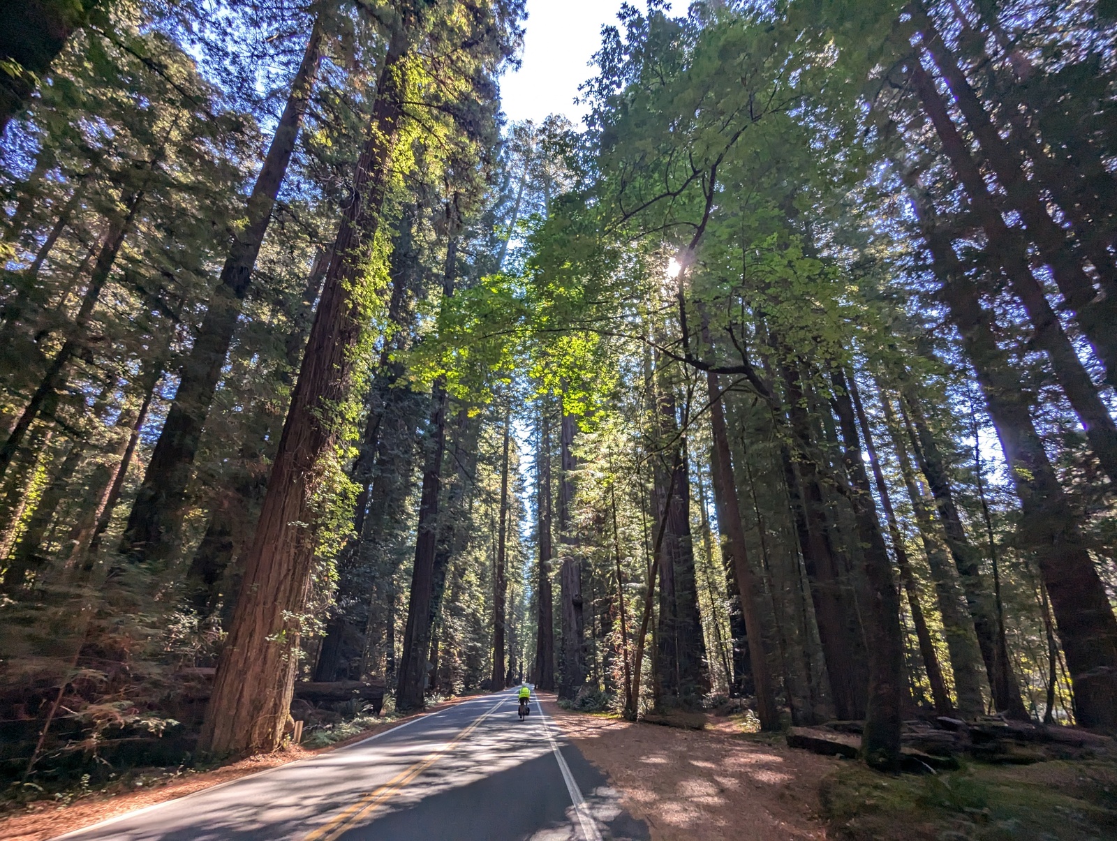
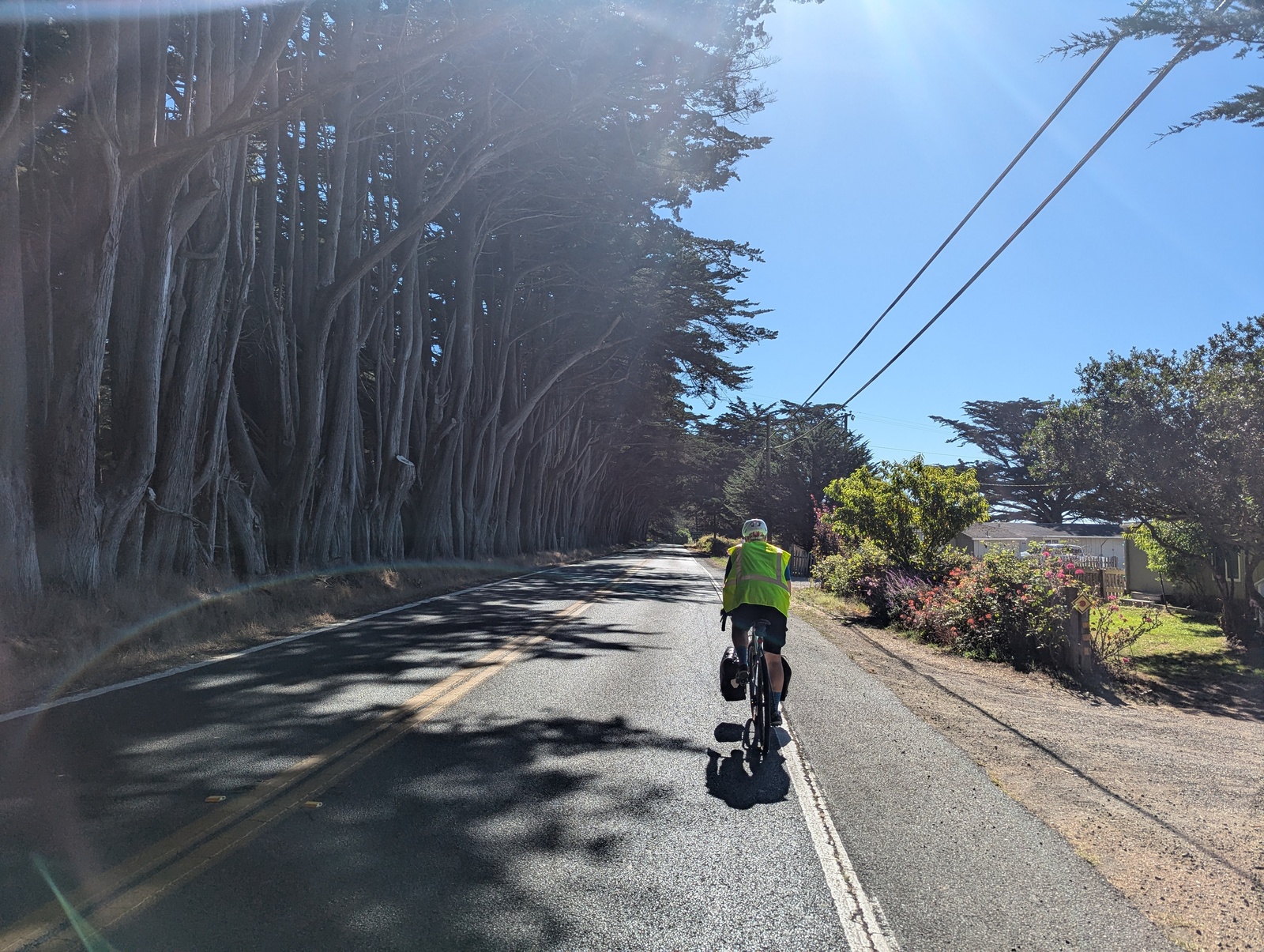
We’re off! Aside from the two relatively large climbs out of Crescent City, this was a warmup day. We caught some beautiful views along the coast, and the Newton B. Drury scenic byway off US-101 offered less traffic and a chance to see some big trees. Of course, we also had to stop in Klamath for the Trees of Mystery and the enormous statues of Paul Bunyan and the Blue Ox, which I’d seen previously on my road trip with cousin in 2009.
We arrived in Orick around 2pm, our most downtime of the trip. The only places with food were a snack stand and the grocery store – it’s nice when the choices are easy. At the snack stand, while we waited for our burgers, Jim told us, “sit right here and tell me a story.” We ended up chatting with Jim (Orick resident since the 1940s) and a couple other locals for almost an hour. They were surprised that we hadn’t seen any elk yet, and then we talked about how much the elk are annoying pests. It was delightful.
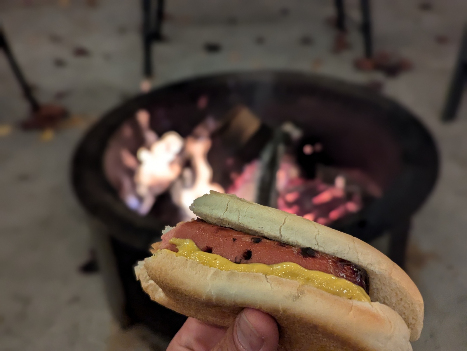
We roasted hot dogs at the fire pit at our hotel for dinner, and I wish we’d gone for “all beef” rather than “first ingredient: mechanically separated chicken”. Oops. At the fire pit, we met a cute couple of older guys from DC that were traveling down the coast to San Francisco.
After eating a burger on the drive up and again for lunch, I learned that burgers on this trip would be like Christmas music – if I avoid them as much as I can, I get about as many as I want.
Day 2: Orick → Scotia
83.2 miles, 3356’ elevation gain
This was our first big day. We headed out to the coast and caught some elk on the way out of town (whew!) and dropped onto scenic Patrick’s Point Drive for some stellar views and a bit of gravel. We stopped in tiny Trinidad for breakfast and had one of the best meals of the trip (and the best coffee, according to S). We also saw our firepit friends from the night before! They have good taste.
Rolling into Arcata, we saw a festival in the park with a lot of noodle dancing and met a fellow bike tourist who was riding from Vancouver to SF and seemed a little… off. More on that later.
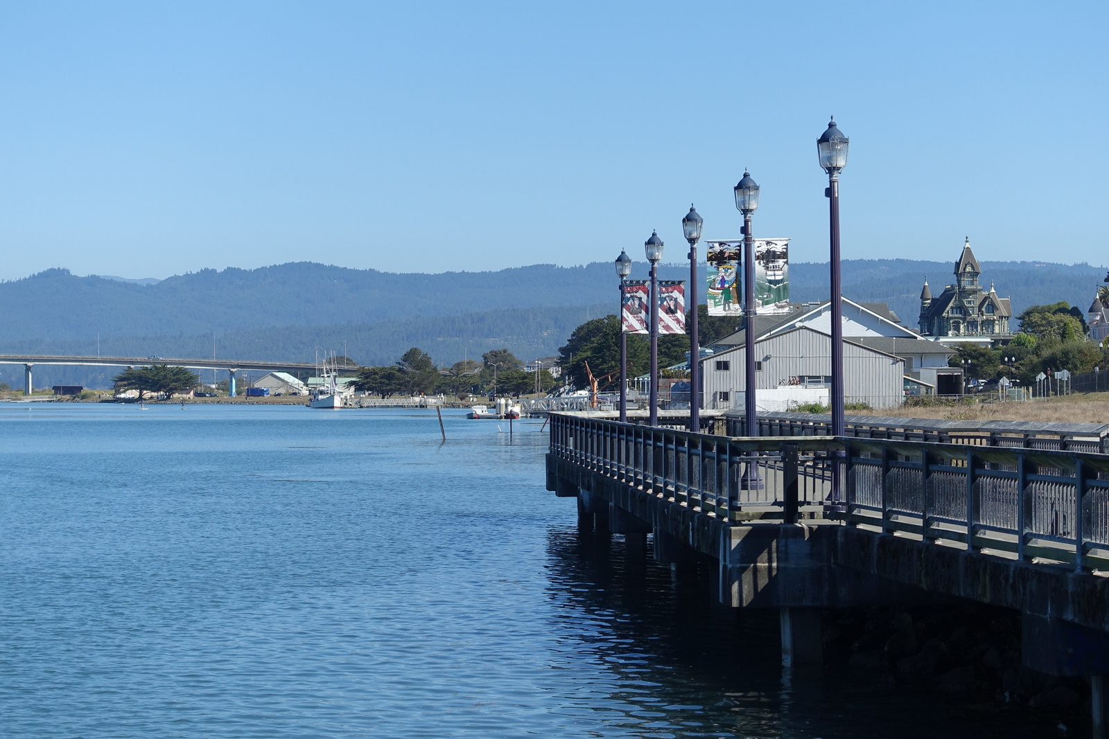
We rode through Eureka along the waterfront, which was both beautiful – the weather was spectacular – and sad with the number of tents we saw. From afar, we saw the Carson Mansion, an enormous Queen Anne Victorian featured on the bike map. Alas, they don’t do tours.
Out of Eureka, we followed some frontage roads as we got into farmland, and out of nowhere, our Vancouver friend reappeared behind us and asked if he could stay with us that night. I politely told him no. It was eerie how quickly he’d appeared – either he was 5 minutes behind us for dozens of miles, or he was waiting for us at the bridge he knew we’d have to cross.
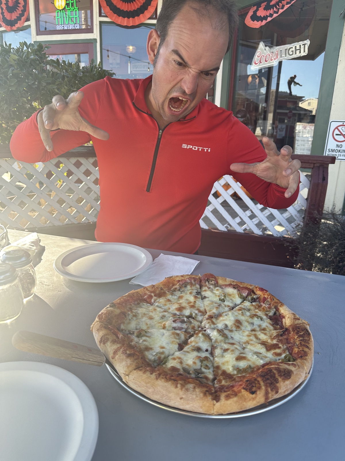
Anyway, we stopped in Ferndale for a pizza dinner before doing the last 10 miles to our hotel. The pizza was fine on a regular day and the best thing we’d ever eaten that day. Ferndale was also notable for being the most purple town – we’d been counting the number of Trump and Harris signs we’d seen along the way, and Ferndale had both the most signs by volume as well as a pretty even distribution. Also, apparently, Guy Fieri grew up there.
We rolled into the Scotia Lodge just as the sun was starting to set.
Day 3: Scotia → Garberville
48 miles, 1877’ elevation gain
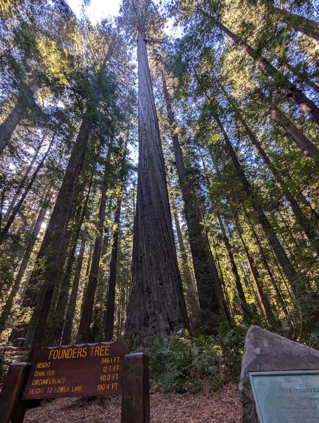
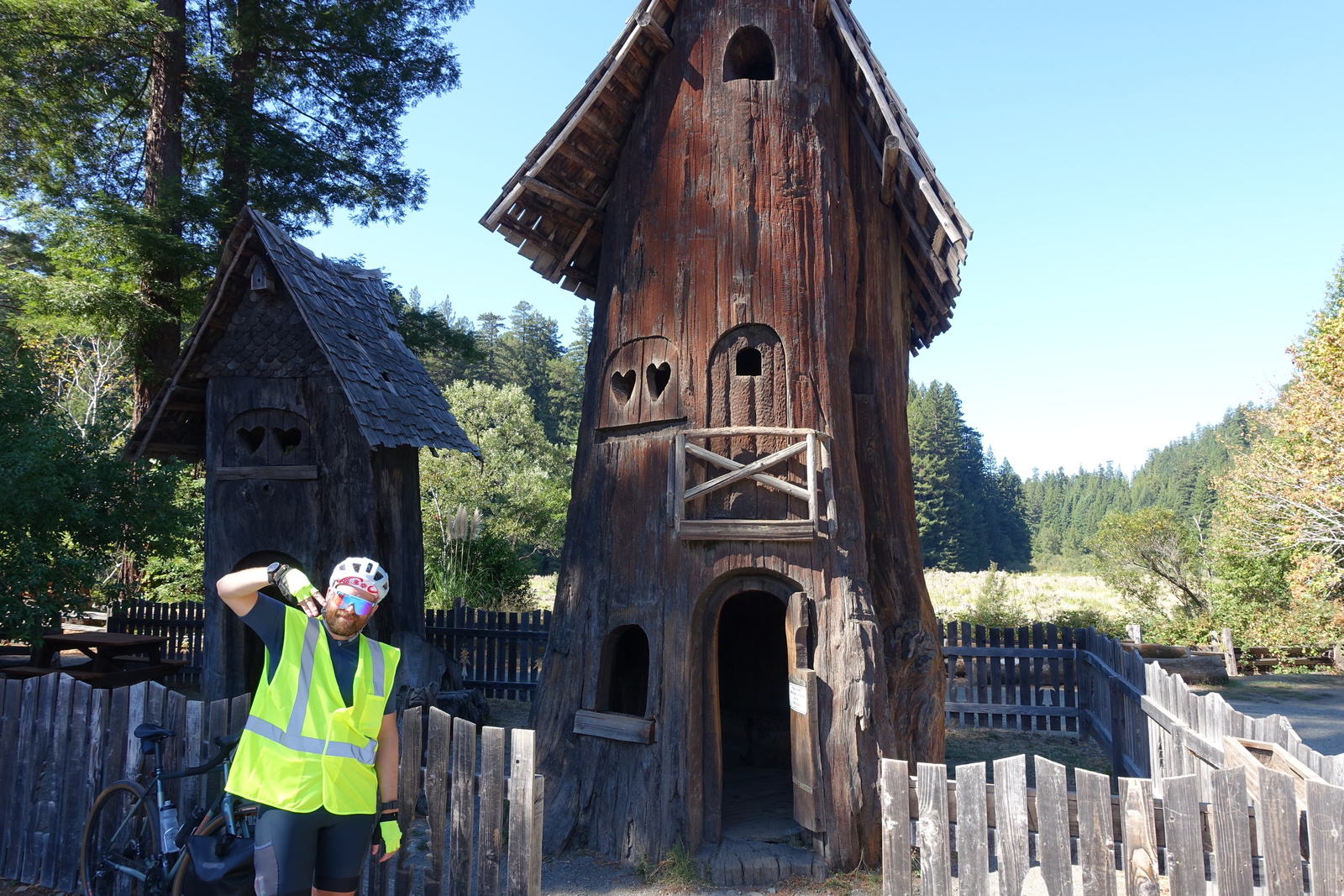
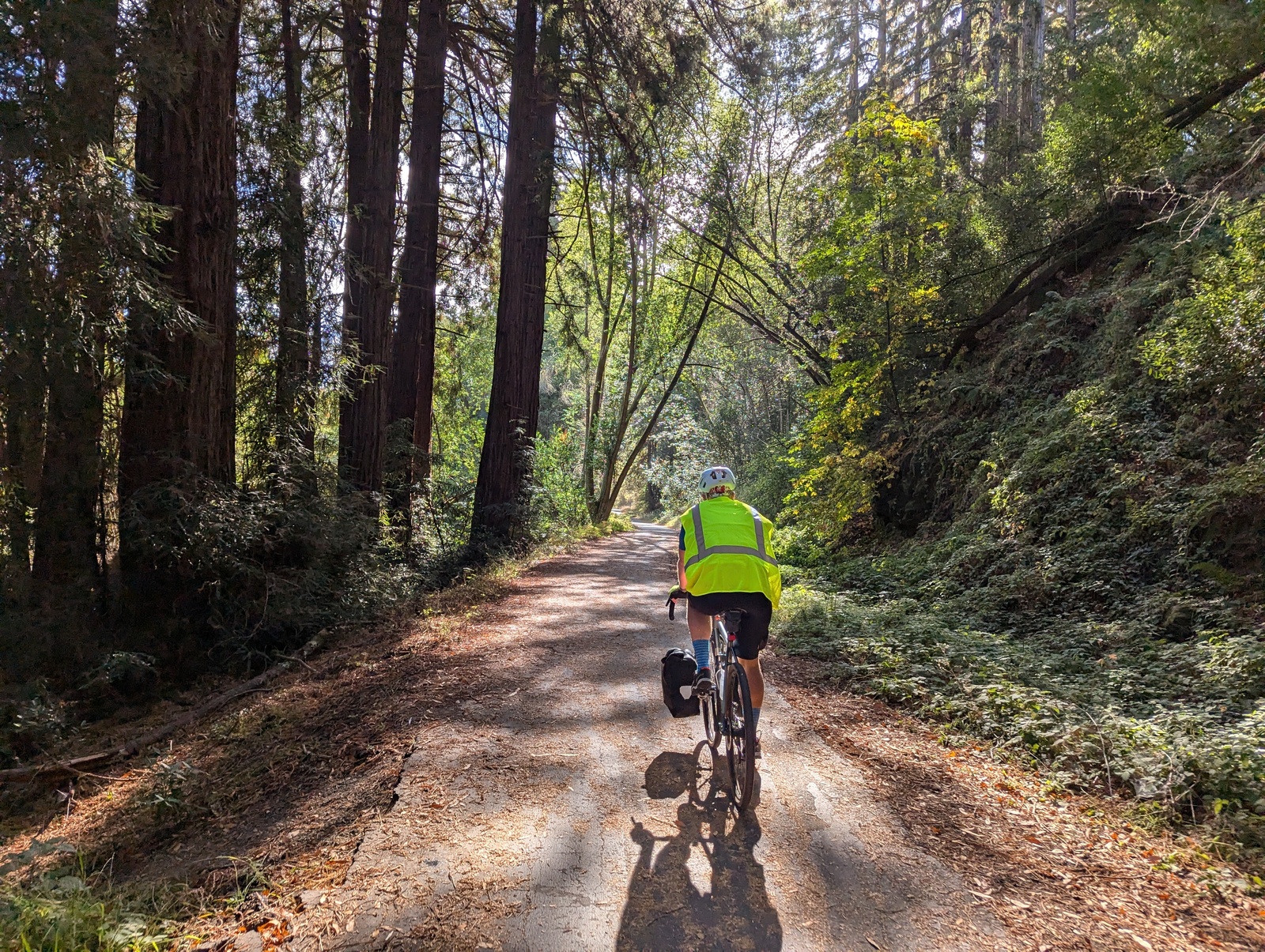
This day doubled as recovery and sightseeing. We went through the Avenue of the Giants, a 31-mile scenic byway off US-101. Normally, this would be pretty crowded with tourists, but by design, we were in the offseason, and saw few. We packed sandwiches from the Scotia market for lunch and the lady upsold me “the best beef jerky she’d ever had”. While I agree that it might have been the best jerky she’d ever had, it was not the best beef jerky I’d ever had.
Anyway, the Avenue of the Giants was absolutely incredible. Riding through the trees while the sun peeked out and popping into redwood groves was an absolute delight.
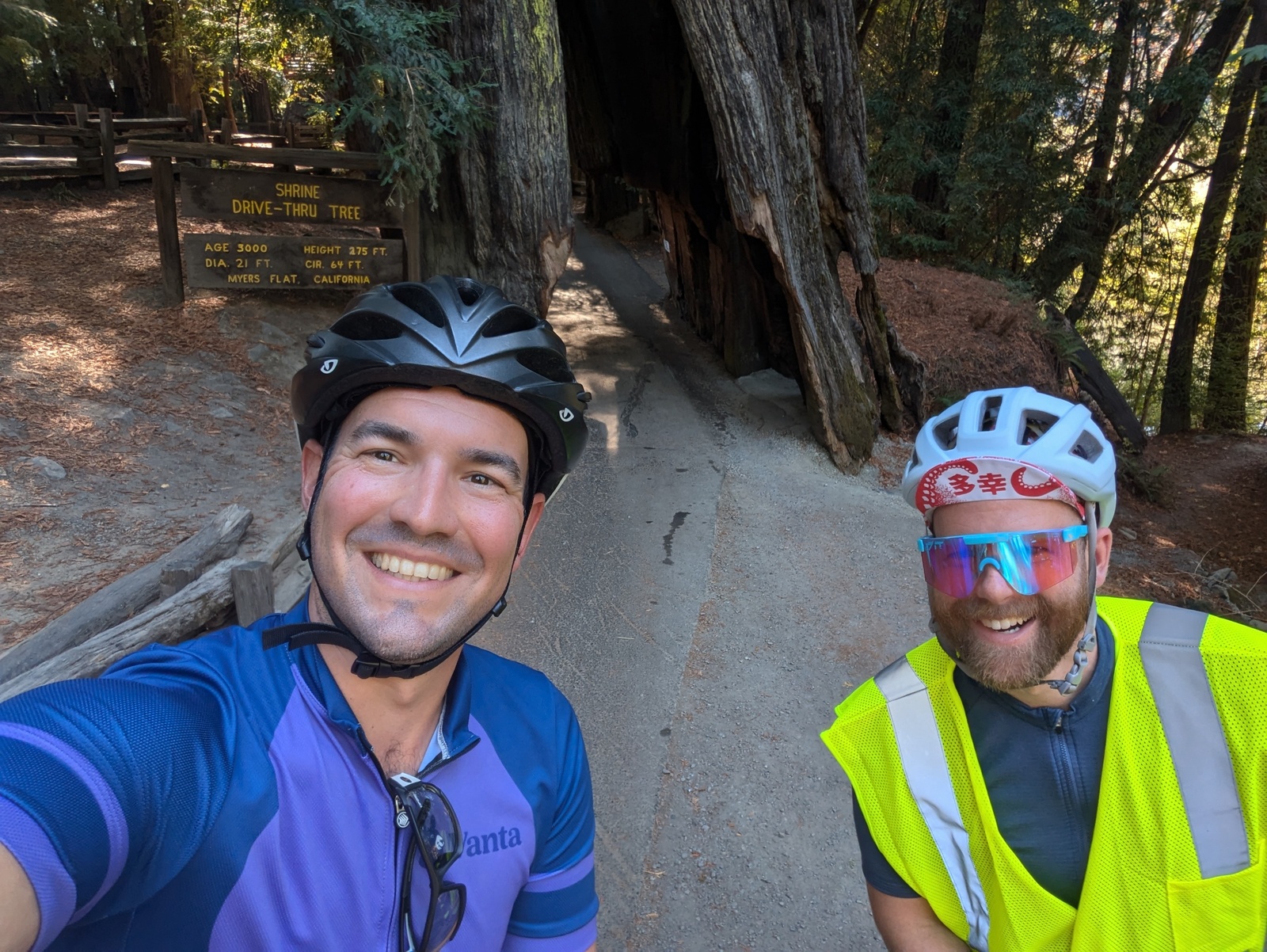
We even biked through a tree, which was every bit the tourist trap and delight that you might expect it to be.
California was experiencing a heat wave during the first part of our trip, and for us, this mostly meant no fog along the coast, but we were inland on Day 3, so the 100° heat caught up to us after lunch. A smoothie in Miranda helped, but the real solve was a cold beer in Garberville after we arrived. Our hotel was the worst of the trip, but it was right across from a bar with a great patio and shared a parking lot with a delicious Mexican restaurant. We adapted a saying from one of S’s skiing friends: bike all day, party all night, in bed by 9pm.
AND, about 10 minutes after we arrived in Garberville, I saw our Vancouver shadow pass by on the road. Creepy.
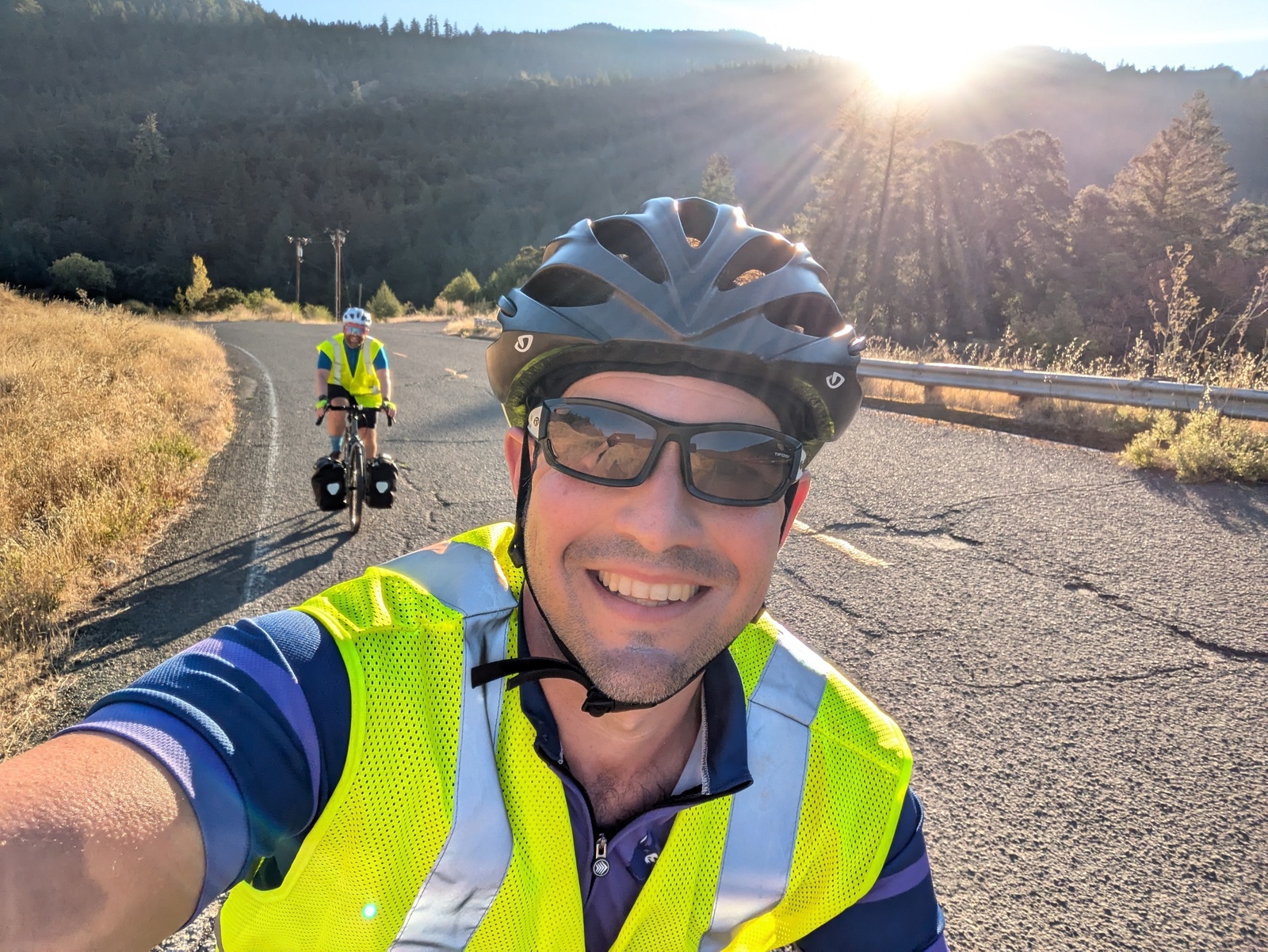
Day 4: Garberville → Fort Bragg
67.6 miles, 5230’ elevation gain
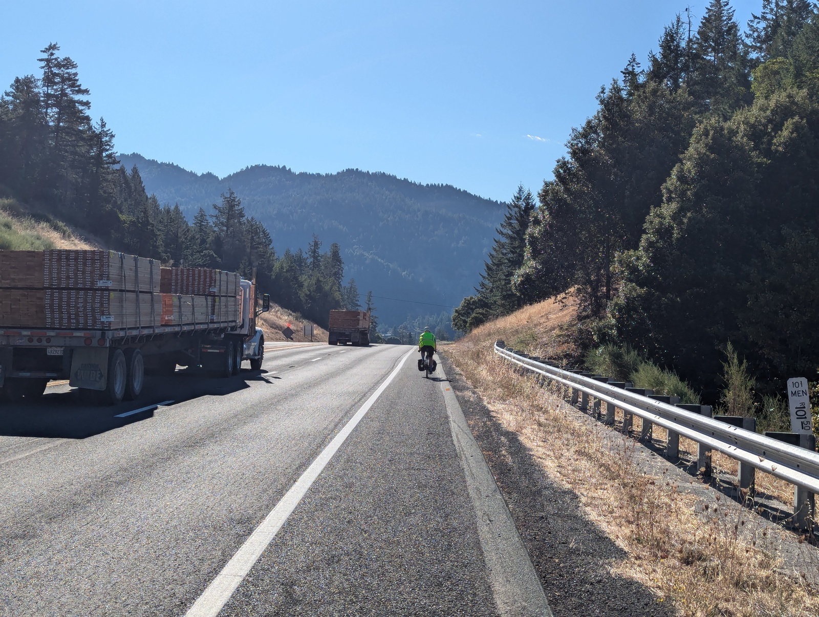
This was the day that we were most worried about. We’d heard about scary truck traffic on US-101 before breaking off to follow US-1 to the coast, and this day had the biggest climb of the trip. We psyched ourselves up and got an early start, but it turned out just fine and much easier than anticipated! The traffic was minimal, and we’re in pretty good shape, so the climb was a nothingburger.
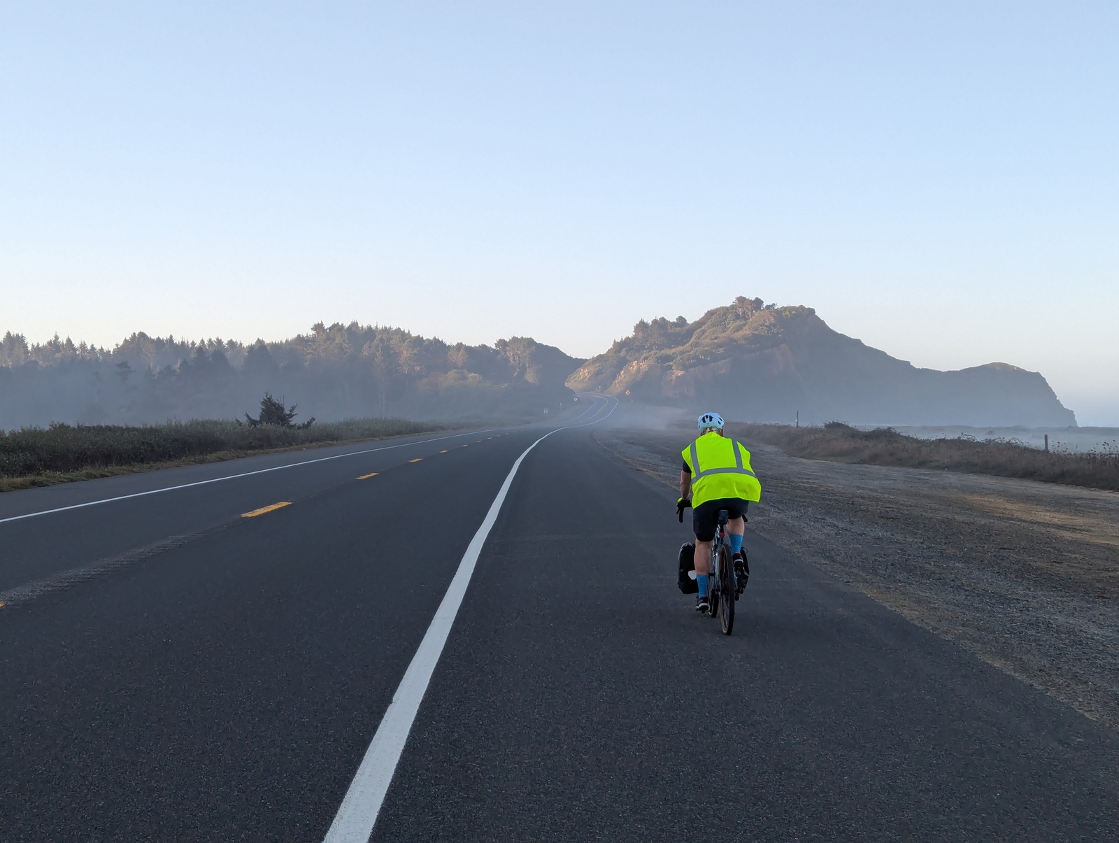
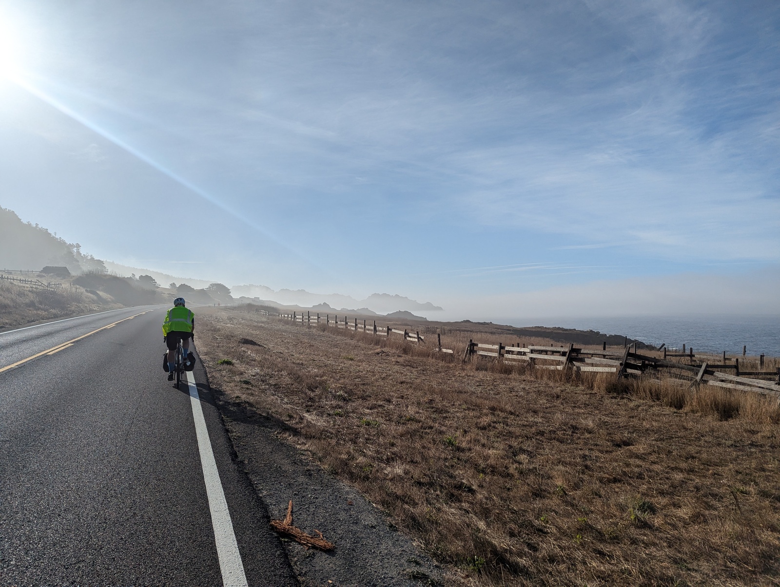
We rolled through the redwoods on a few nice descents before popping out at the coastline for our first taste of riding along the water under beautiful blue skies. The sea breeze was a welcome change from the previous day’s heat, too.
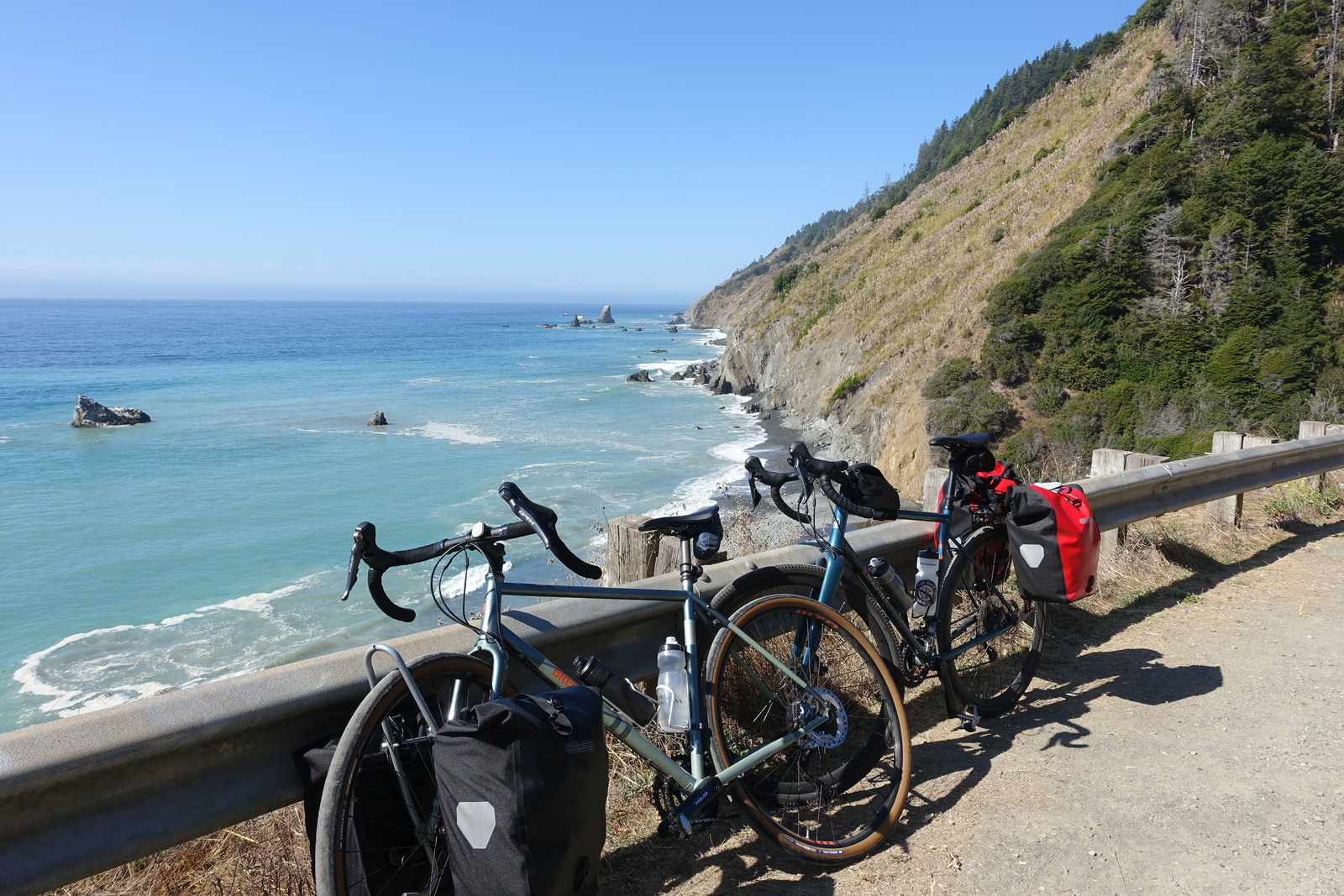
We ran into some construction and smaller shoulders than anticipated, but the last leg into Fort Bragg was along Ten Mile Beach along a dedicated bike path that led right to our hotel on the beach. We walked into town and ate everything on the (food) menu at the North Coast Brewery.
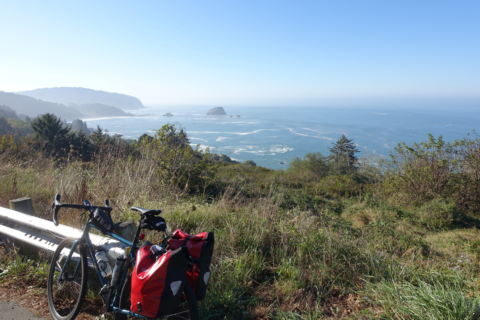
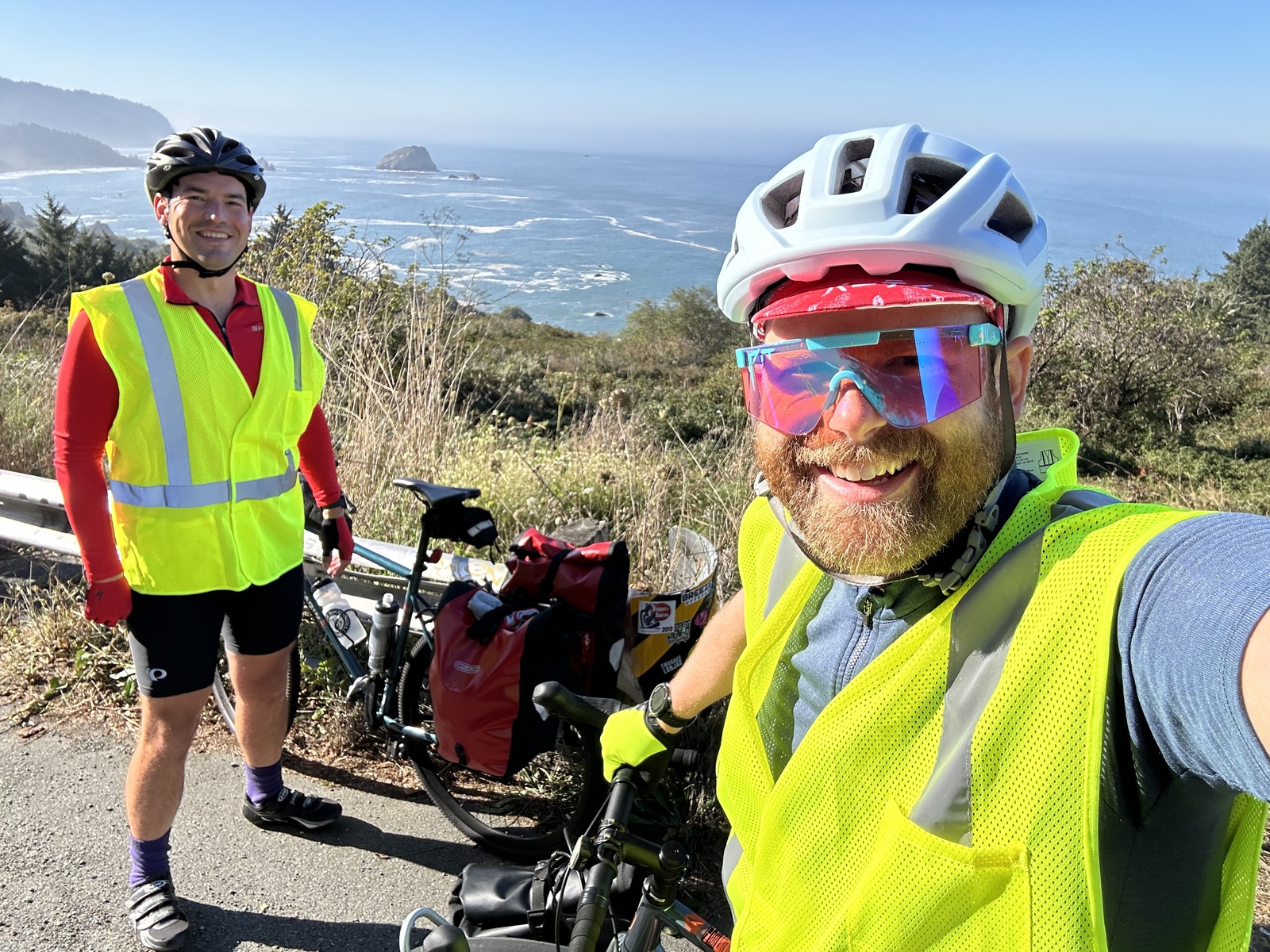
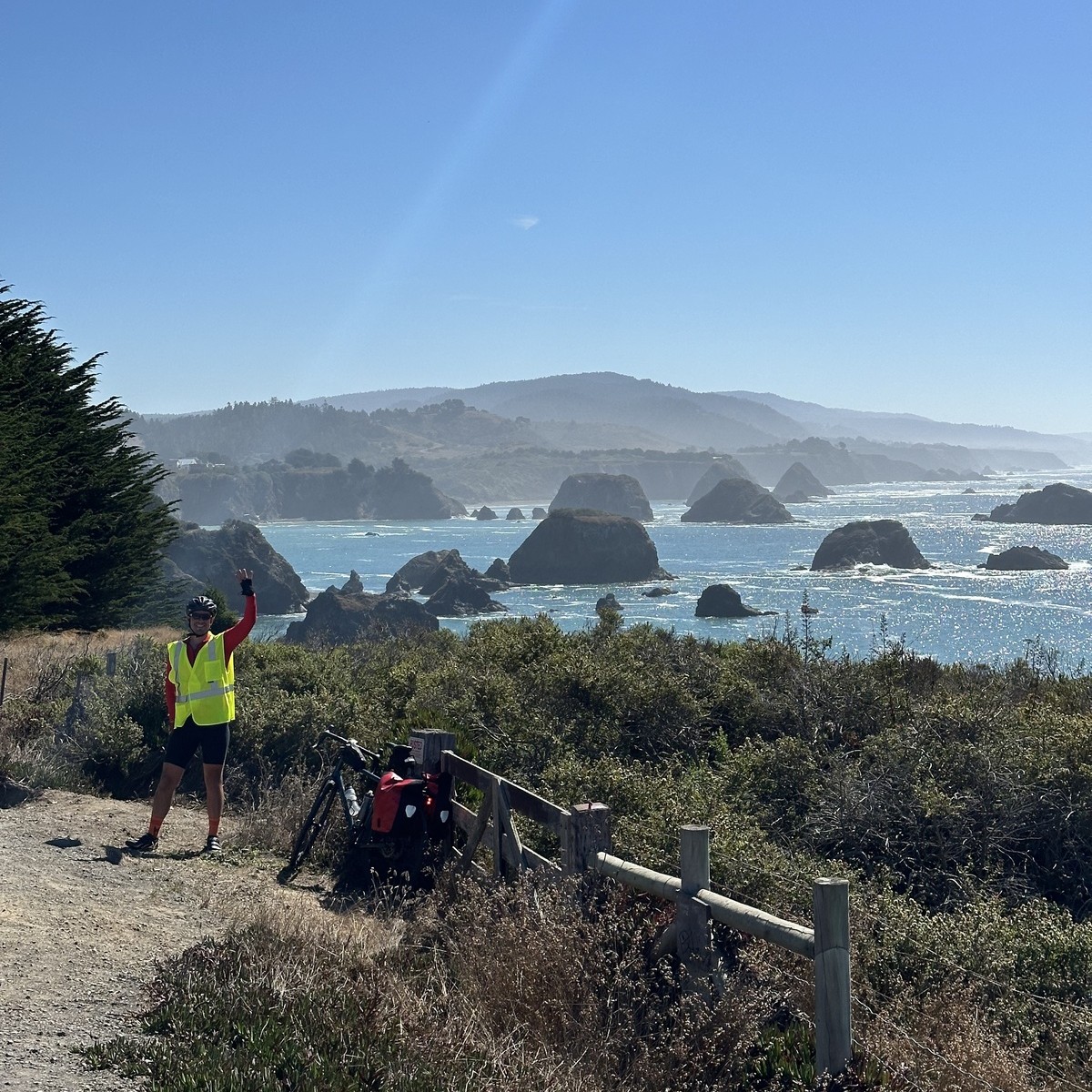
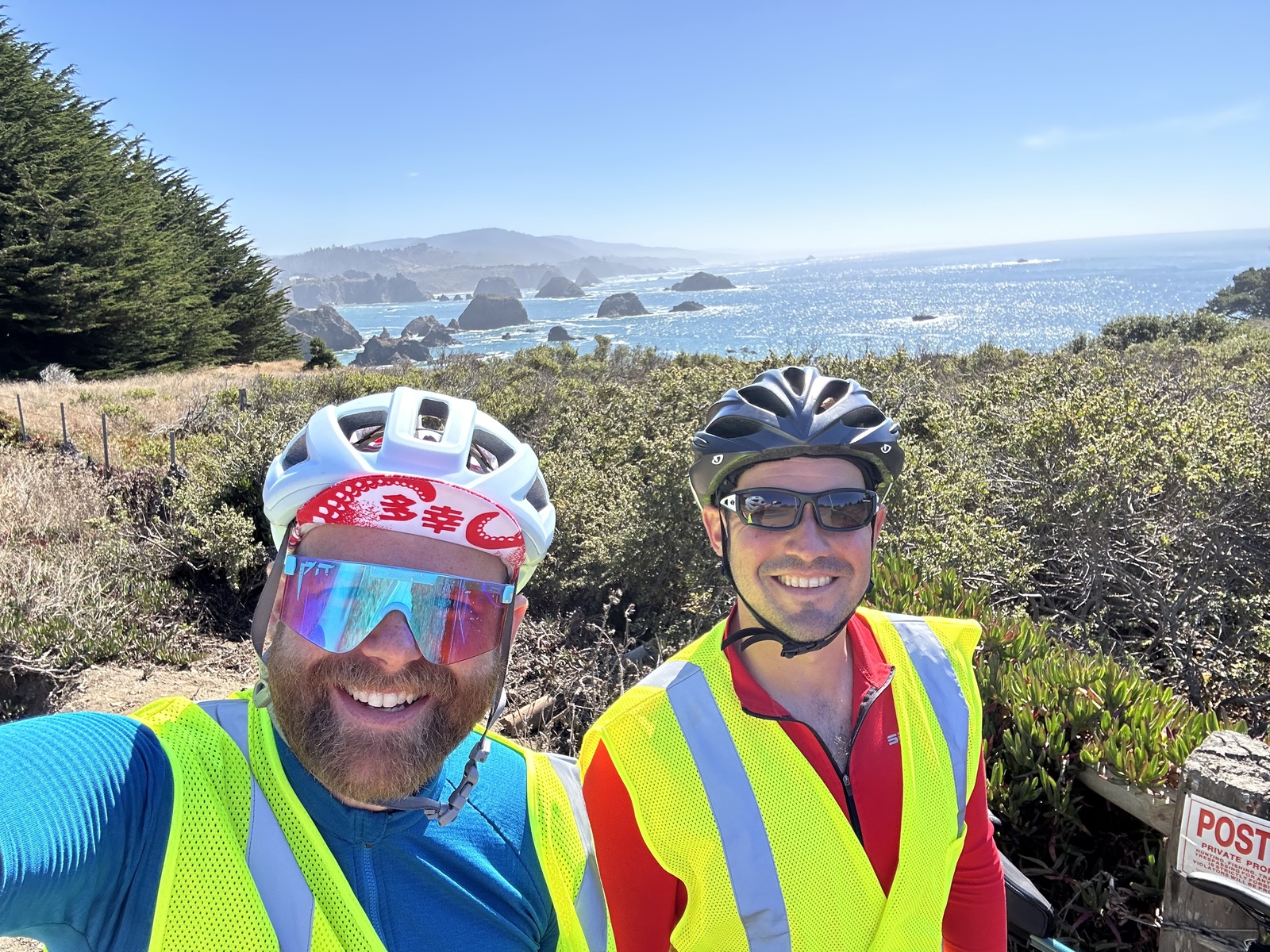
Day 5: Fort Bragg → Gualala
63.6 miles, 4462’ elevation gain
We woke at sunrise to the sound of the ocean, grabbed coffee in the lobby, and warmed up at the firepits outside our hotel. It was really nice.
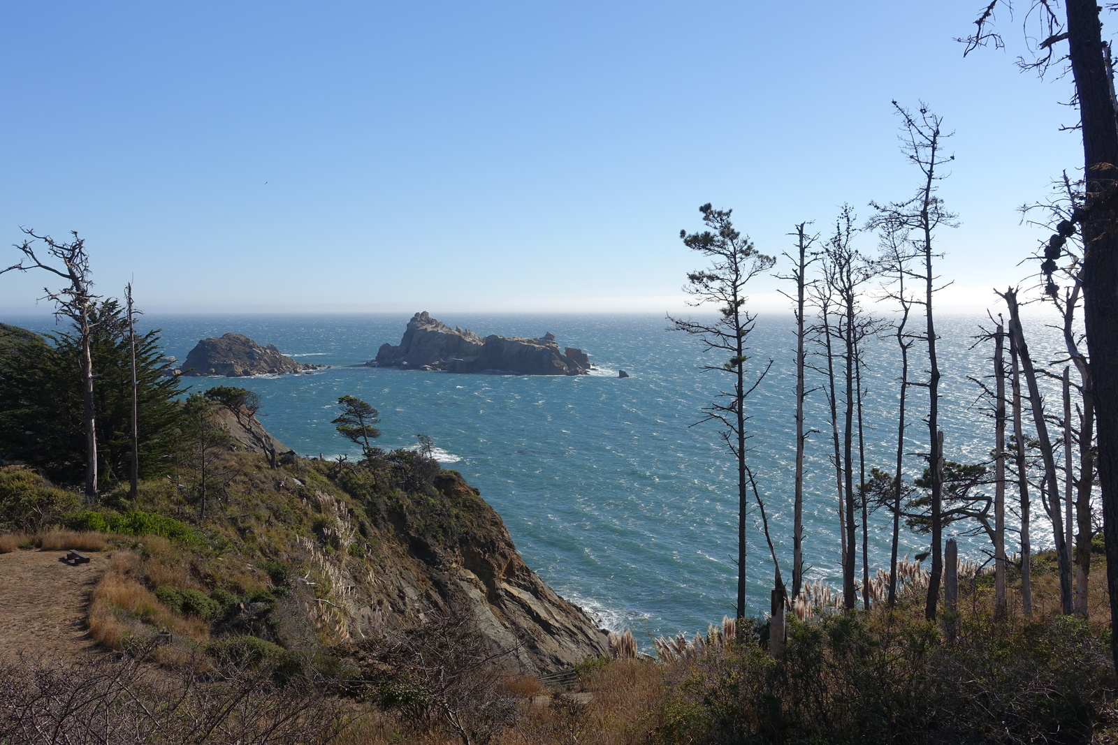
Little did we know that we’d find the most climbing on our trip not in the redwoods up north but along the coast, constantly bopping between 0’-300’ above sea level. Google Maps’ elevation estimates for US-1 along the coast were off by almost a factor of two – we were fine, but it ended up being much more tiring than expected!
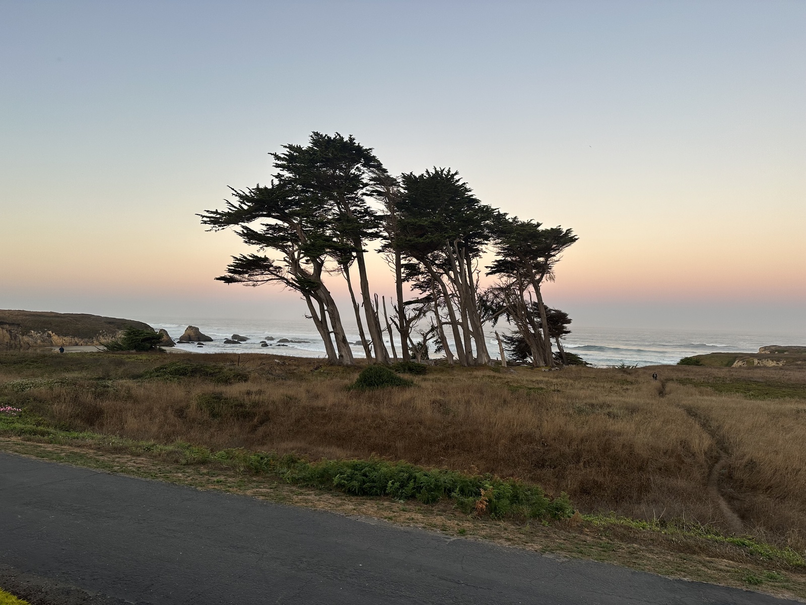
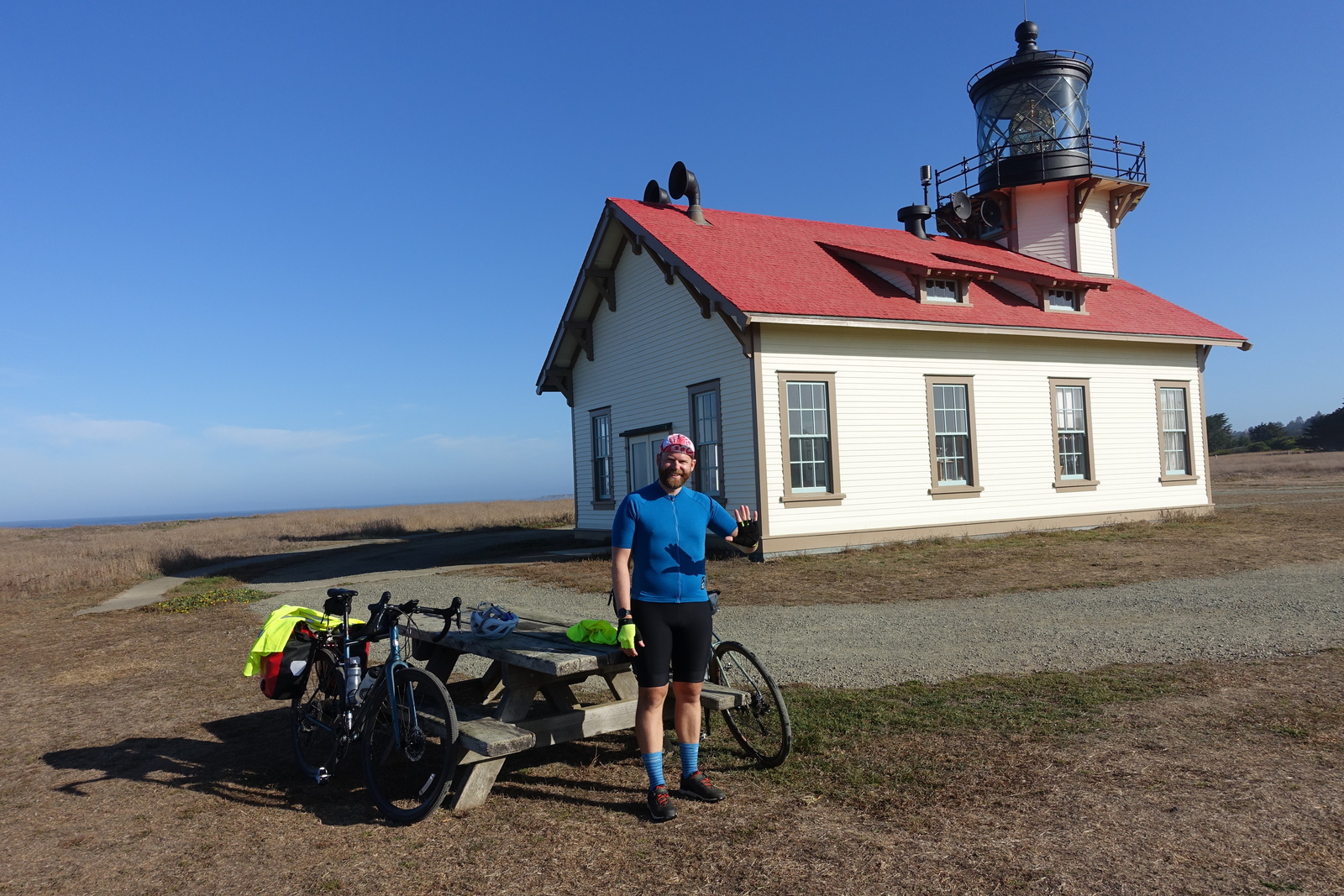
On a whim, we took a detour to the Point Cabrillo Lighthouse and had an extended breakfast in Mendocino, unaware of the endless climbing in our future.
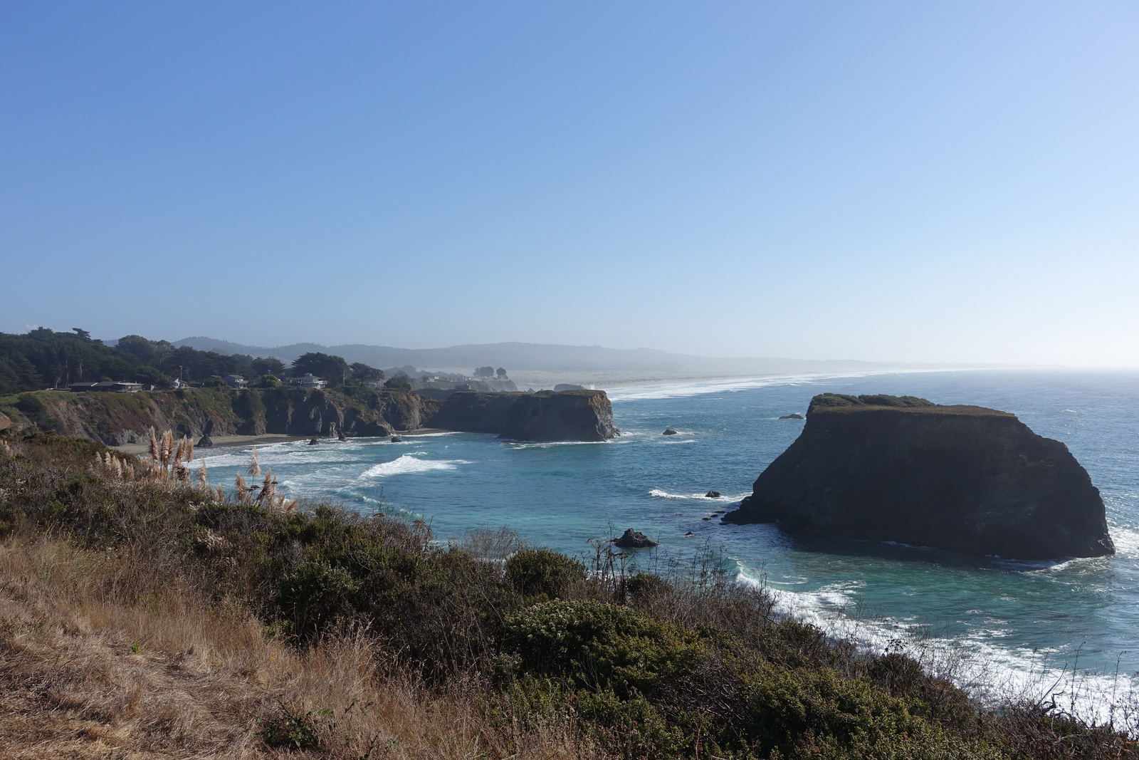
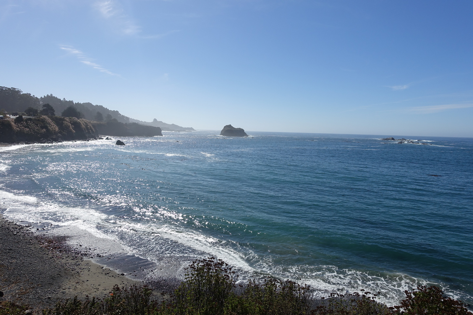
Still, it’s hard to complain. The shimmering ocean, the crashing waves against the rocks, and the cloudless sky were incredible company as we dipped down to beaches and bridges over rivers and then up again into the bluffs.
At last, we arrived in Gualala, a town with zero cell phone reception and a Mexican restaurant that turned out not to be a Mexican restaurant. The salmon and chips were fabulous, and we strolled into the bar, which was tiny and the only one in town, as far as I could tell. We made friends with two guys playing pool – Brian and a man who called himself Gato. They had an interesting relationship based on threatening each other with violence after every shot, but they seemed to be friends. They were nice enough to us, anyway. Scotty the bartender said that the only times in his life that he cried was when his dog died and when the A’s announced that they were leaving Oakland, but he hopes to get a bartending gig in Vegas if they ever end up there. I love it.
Day 6: Gualala → Inverness
86.0 miles, 6273’ elevation gain
We had a mission, and that mission was to get to Tomales Bay before the oyster bars closed at 4pm. We had 70+ miles in front of us and likely more than the 3800’ of elevation gain that Google Maps told us (spoiler: way more). We’d gotten the worst sleep of our trip – the hotel room smelled a little dank and moldy, and I’m sure that playing pool at the bar didn’t help.
We woke in the dark and went to the only place that was open, a delightful spot with great SEO called “Bakery Pizza Mexican Food”. Their breakfast tacos are outstanding.
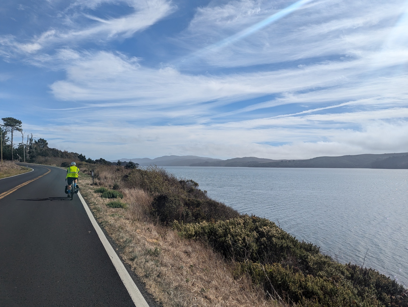
This was also our first day with some fog along the coast, and it was a nice contrast to the clear skies we’d seen thus far on the trip. Like the day before but longer, we went up and down and up and down and up and down along the coast. We visited three counties (Mendocino, Sonoma, Marin) and had a killer crab melt in Bodega Bay.
We made it to Tomales Bay at 3:15pm, very much in time for oysters, only to find out the Marshall Store had SOLD OUT OF OYSTERS FOR THE DAY and that Tomales Bay Oyster Company DIDN’T SHUCK AND SERVE OYSTERS FOR CONSUMPTION (admittedly, this would have been easy to research in advance). Our oyster plans were foiled!
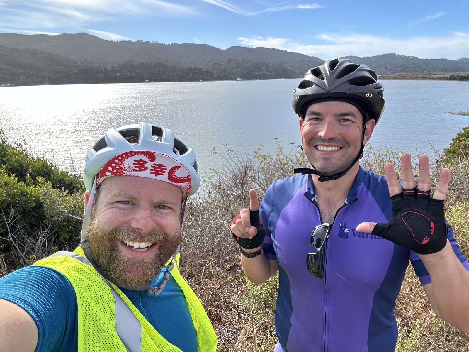
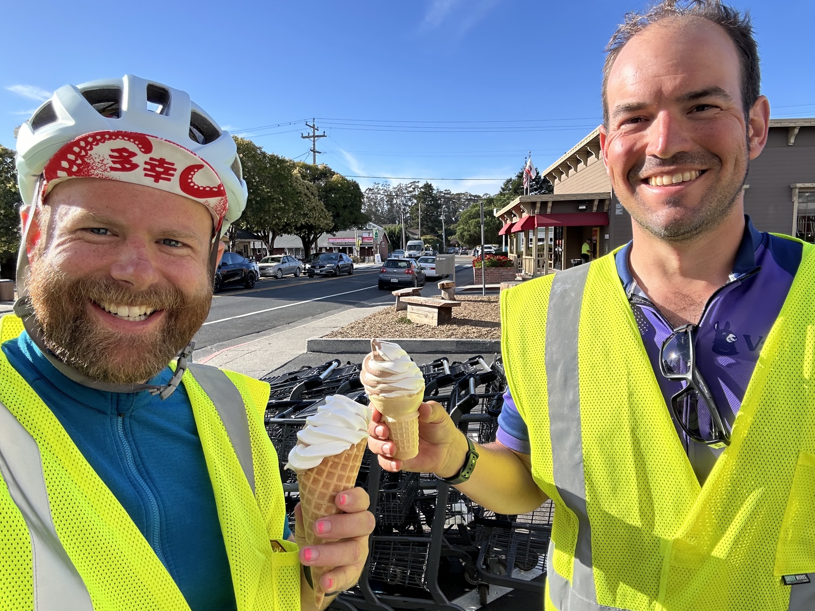
Instead, we enjoyed grocery store soft serve in Point Reyes Station (they use buffalo milk!), and burritos in Inverness Park. The other thing we were looking forward to, the only hot tub of our journey, did not disappoint.
By this point, we ended our count of Harris-Walz and Trump-Vance signs, assuming that the Bay Area would be lopsided (spoiler: it was), and the final count was Harris-Walz 17, Trump-Vance 14. I’d have expected both more signs overall and more Trump-Vance signs, but I guess that most of the rural towns we passed through either had not enough traffic to merit trying to convince anyone or had similar-enough beliefs that putting up a sign was redundant.
Day 7: Inverness → San Francisco
51.5 miles, 2385’ elevation gain
This day was designed as a victory lap with minimal climbing as we covered familiar ground in Marin County. We didn’t feel particularly fresh, and S had some tightness in his IT band on the ride that he had to work through. It was nothing that ibuprofen, caffeine, and sugar couldn’t fix. Were we riding longer, this might have been a good day for a break (and laundry, yeesh).
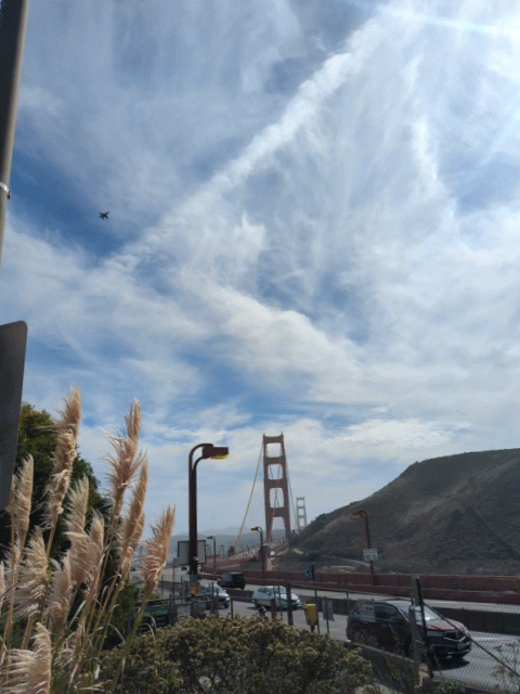
We slogged our way through Marin and arrived at the Golden Gate Bridge just in time for the Blue Angels flyover that had been scheduled to herald our return to San Francisco. So nice of them!
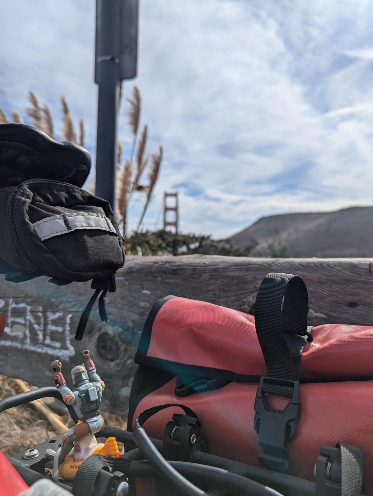
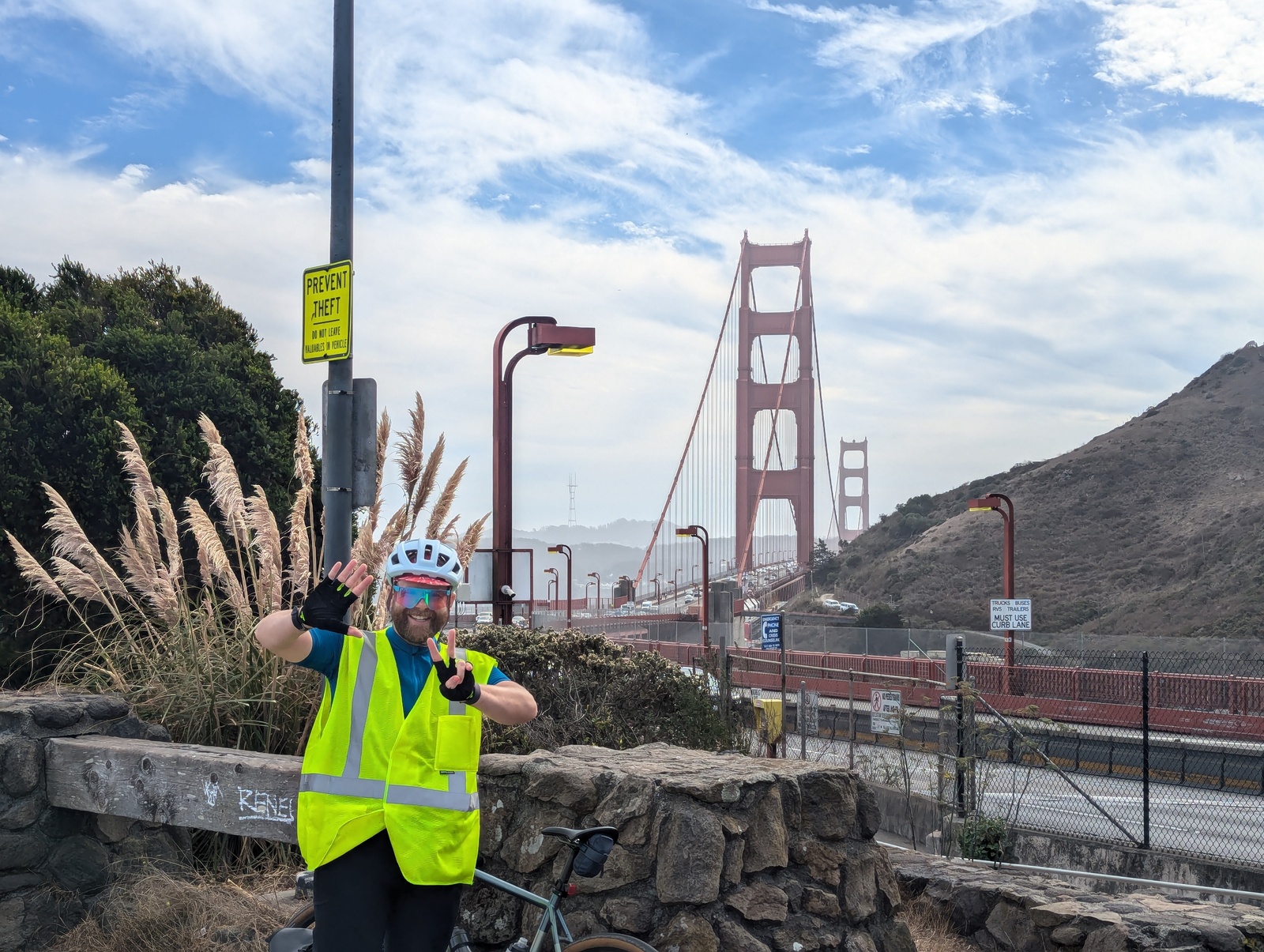
After one last big, familiar climb up to the base of Twin Peaks and down O’Shaughnessy, we arrived!
For the most part, everything went as planned, and we didn’t run into any scenarios that were particularly scary or stressful. This was my second bike touring adventure, and I hope there are more in my future! S was an excellent companion and a good sport to ride almost 440 miles for the sake of some wordplay.
Notes
These are mostly for myself, but read on if you’re interested! Honestly, I can’t believe you’ve made it this far…
Preparation
For route planning, I bought the ACA paper maps and made table of the major places we might stay with approximate distance and elevation gain between them. We then crafted a series of days of the appropriate length, balancing big days with recovery days. I purchased the ACA GPX file for the route the week of, and in retrospect, that would have been much more accurate to plan the distance and elevation gain along the route we’d planned to take (using Caltopo or something like that). Google Maps wouldn’t always route me between places via biking directions, it often wouldn’t use the ACA route, and even when it did route well, the elevation estimates along the coast were wayyyyyy off. 😂
Packing list:
- The map!
- Everyday biking stuff: gloves, shoes + cleats, helmet, transition sunglasses, 2 water bottles, bike computer, lights
- 2 biking kits (bib + jersey)
- 3 sets of biking socks
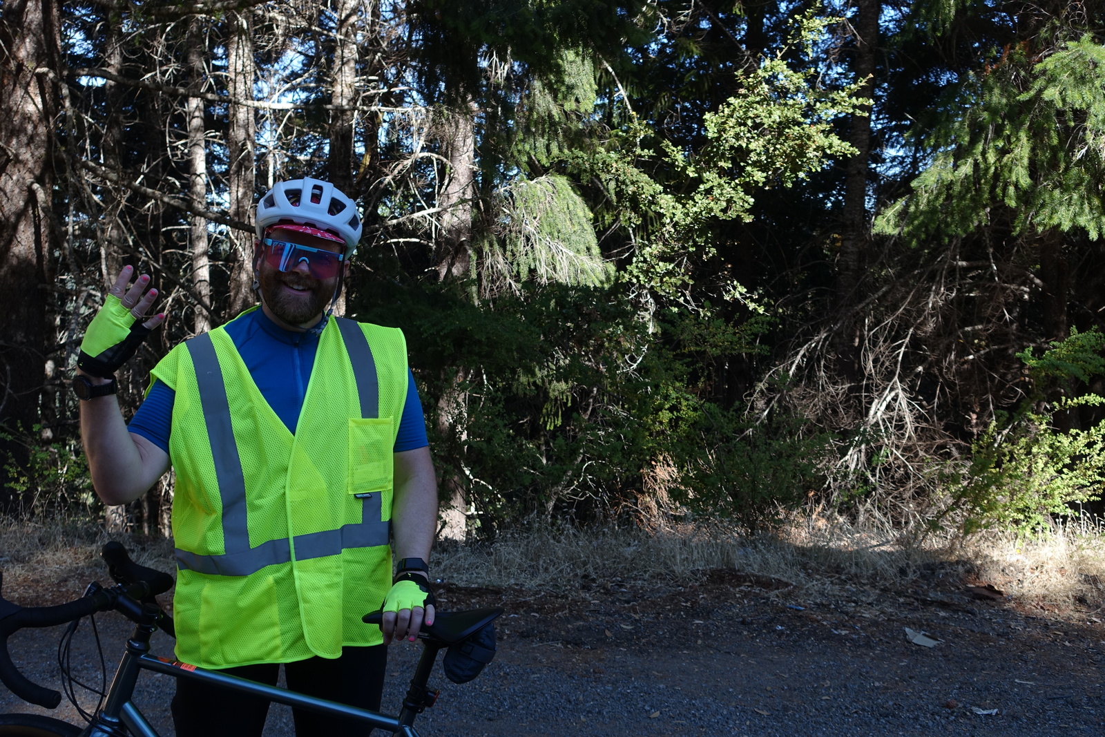
- Reflective safety vest
- Microfiber towel for sweat during the day
- Repair: tire levers, multitool, 3 spare tubes, hand pump, compressed air pump + 3 canisters, dry chain lube, 2 spare cleats
- Off-the-bike: shirt, zip-off pants, underwear, warm windbreaker, baseball cap
- Rain jacket
- Swimsuit
- Flip flops
- Camera
- Toiletries, sunscreen, chamois butter
- USB cables, battery pack
- Kindle
- 12 energy bars, 2 packs of Honey Stingers, 10oz bag of beef jerky
- Lock with cable
- Bungee cords for the pickup bed
- 3 grocery bags, 5 sandwich bags, 6 zipties
- Boba Fett + Yellow Submarine
Notes:
- I used everything I brought, and I’m glad I had the stuff I didn’t use: lock + cable, all the repair stuff.
- I brought too many energy bars. There were plenty of places to stop for snacks and meals.
- It wasn’t necessary, but it’d have been nice to have a rear mirror on my helmet.
- I saw someone using bungee cords to fasten their sandals and sleeping bag to their rear rack and thought that was neat.
- Excellent purchases this summer: bike computer (no need to look at my phone!), transition sunglasses (wind protection in lower light and fog!), top tube bag (no sweaty phone or melted energy bar in my jersey!)
Day-to-day
The GPX file mapped the entire route, and it was too large to give me turn-by-turn directions in the bike computer. I should have figured this out earlier and split up the files into more digestable chunks. But, in retrospect, not having the computer chirp at me for every turn ended up being pretty nice. Instead, when the computer thought we were off course, it chirped loudly and gave me turn-by-turn directions back to the route. Sweet!
The waterproof ACA map was amazing and helpful, as always, and I had it in my jersey pocket as a backstop for the technology we were using.
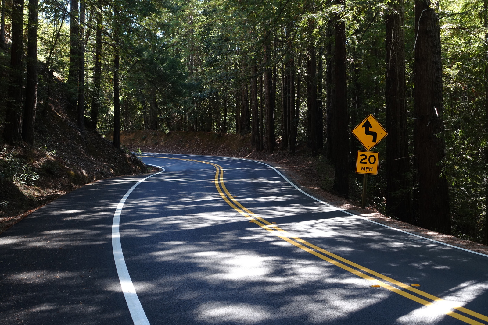
The guidance in the map suggested that the diciest part of the ride would be the bits on US-101 in the redwoods. This turned out not to be the case, perhaps because we were riding outside the tourist season (by design). When we were on US-101, the shoulder was generally large and there weren’t many blind turns. In contrast, once we reached the coast on CA-1, especially up north near Fort Bragg, the shoulder was more narrow, and cars were flying by. Most were generous about giving us plenty of space, but a few times, when there was traffic coming the other way, it ended up being tight.