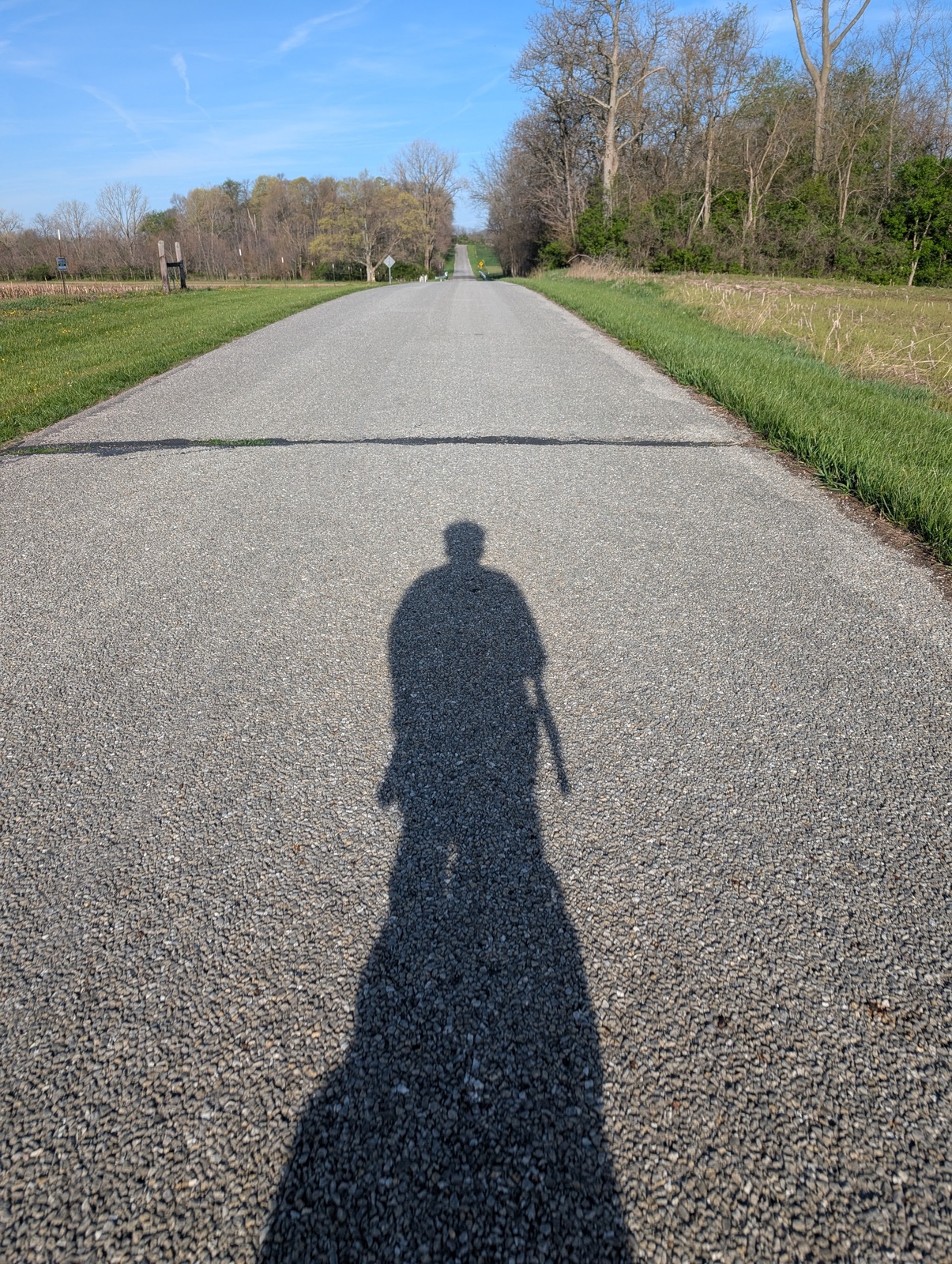
From April to June this year, I rode my bicycle across the United States, from Washington DC to the Oregon coast. The ride was solo and unsupported, meaning that I rode by myself and carried everything I needed on my bicycle. It was an incredible adventure and one I’ll never forget.
By the numbers:
- 4026 miles
- 127318’ elevation gain
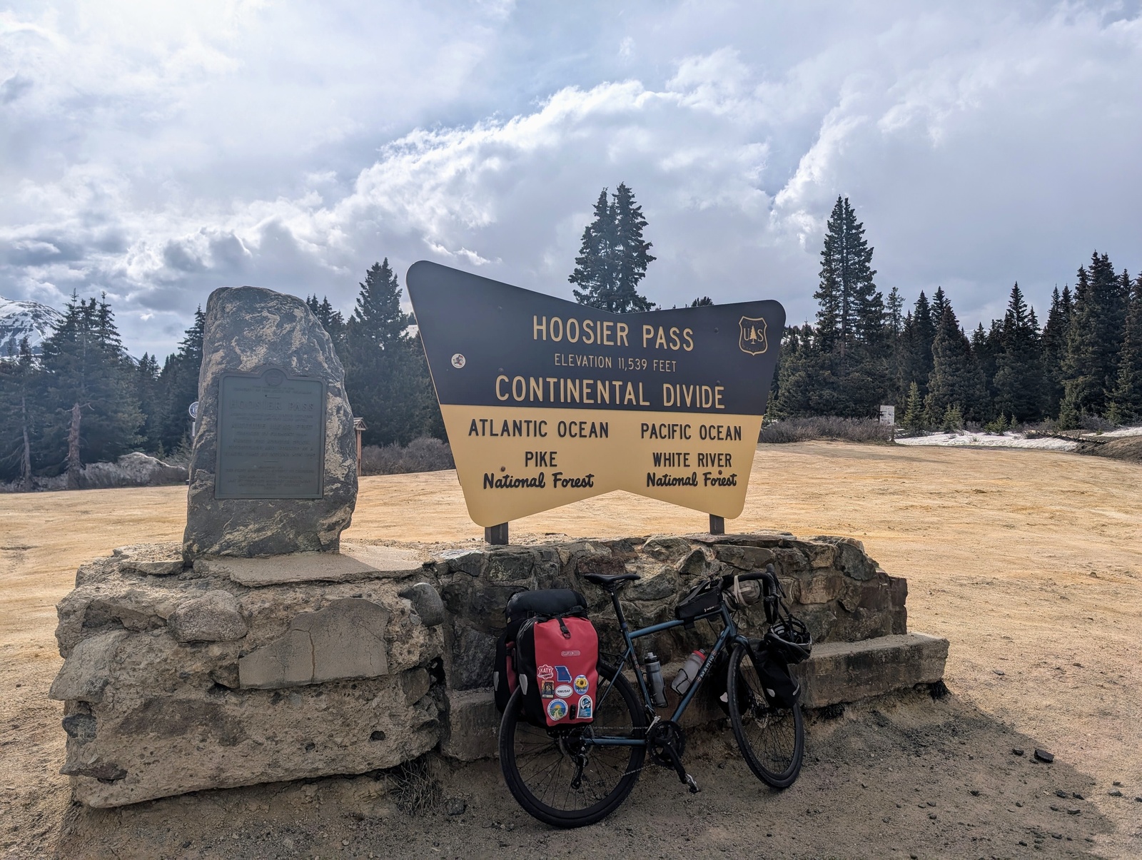
- 11539’ above sea level at Hoosier Pass in Colorado
- 58 days
- 14 states
- 10 times crossing a Continental Divide
- 8 cousins
- 6 flat tires
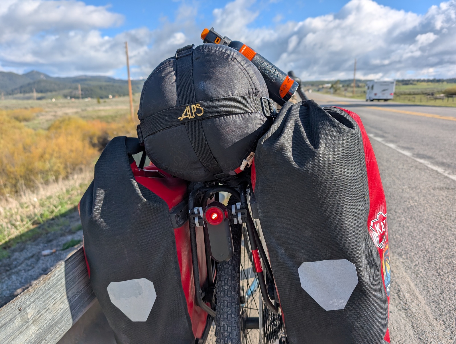
- 5 bags on my bike + a tent + a sleeping bag
- 4 tires replaced
- 4 cleats replaced
- 3 snowstorms
- 2 chains replaced
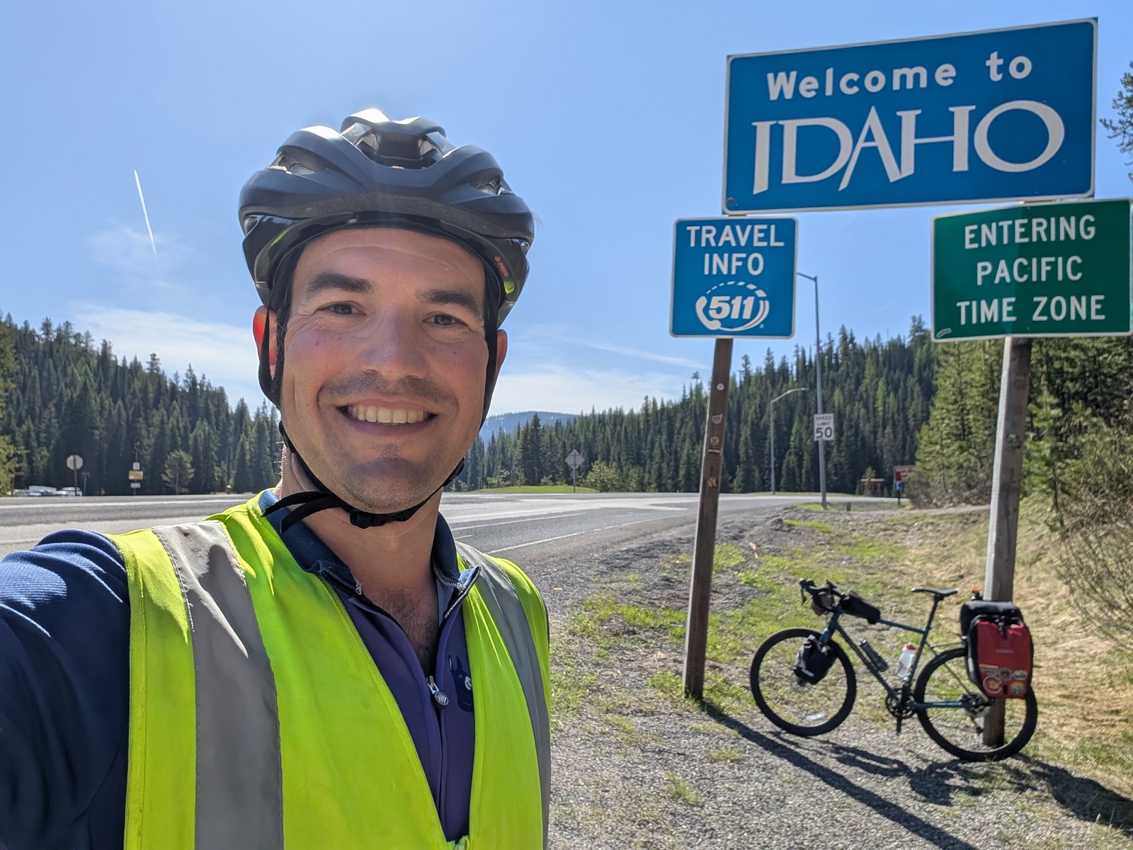
- 2 towns I stayed in named Cambridge (Ohio, Idaho)
Along the journey, I took a photo with a playing card to mark each day, and I kept a travelogue via Google Doc to share updates with family and friends every so often.
Why spend two months riding a bicycle across the country? I’ve loved bicycle touring since my first bike tour in 2009 from the Bay Area to Los Angeles, and I’ve always wanted to go crosscountry. I’m between jobs, the kids are resilient, and I’m in the best shape of my life. My spouse was also very supportive, for which I am grateful!
Most of my preparation for the trip was the route and the packing list. I lost weight before going, but I otherwise didn’t do any particular physical training for the trip. I ride bikes regularly, but I’ve heard that most of the training one needs for a long bike tour comes in the first week on the road, and it turned out to be true!
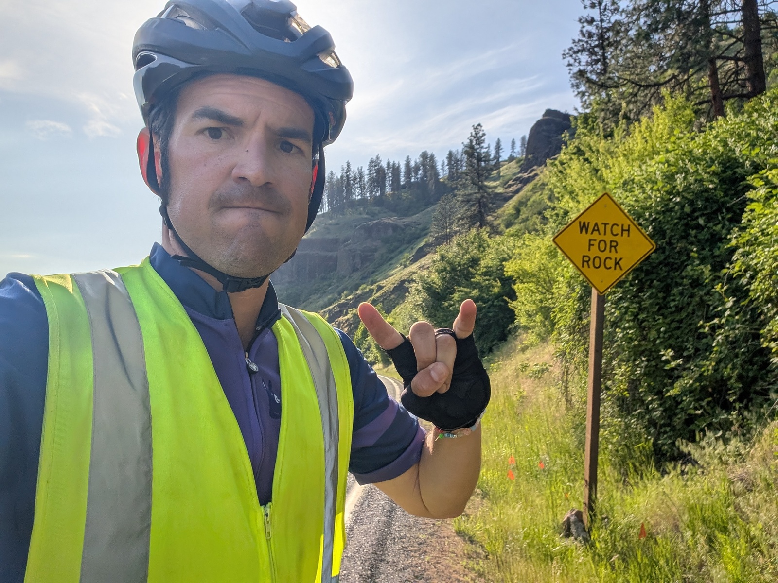
The Adventure Cycling Association publishes bike-friendly routes around the United States, and I’ve had success with those in the past. The routes prefer bike paths, quiet county roads, state highways, and, where possible, gradual climbs and ample services. A popular route is the TransAmerica bike trail, but since I’d heard that the dogs are particularly fierce in Kentucky and Virginia, I avoided that stretch of the country entirely. Even so, I ran into dogs – more on that later.
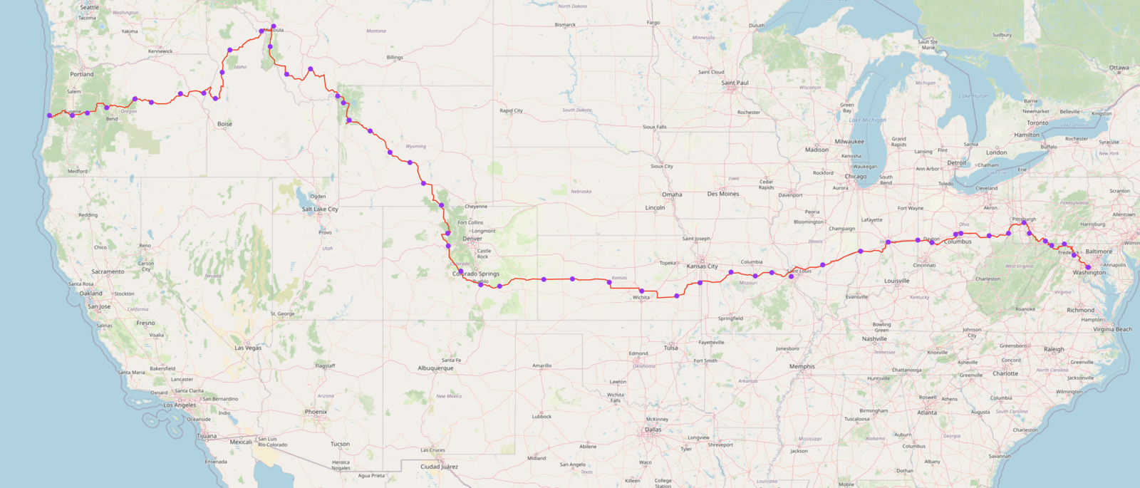
My route started in Washington DC and followed the Chesapeake & Ohio Canal Trail and the Great Allegheny Passage Trail to Pittsburgh. From there, I followed the ACA’s Chicago to New York route to Indianapolis, then the ACA Eastern Express Connector to the TransAmerica Trail in Toronto, KS. Most people who travel across the country do so in the summertime and go from west to east. I was optimizing for missing the least amount of parenting, so I went while the kids were still in school and opted to go east to west to avoid snowstorms in the Rockies as much as possible. I still hit snowstorms – more on that later, too.
As for the packing list, I mapped out all the gear and bags I thought I might need a couple of months in advance and did some test rides to check the weight and see what might be missing or superfluous. I packed a variety of clothing for different types of weather, and a few times, I ended up wearing almost all of it at the same time. With the exception of a few items that I mailed home after the first two weeks, I thought my packing was a good balance of having the right amount of stuff for the truly wild variety of situations I’d encounter.
And that was pretty much it for planning. I had rough plans to meet folks on the way but otherwise didn’t plan any stops or lodging in advance. I couldn’t predict my pace, the weather, or how my body would hold up, and having concrete plans that I’d have to hit would have introduced unnecessary stress. For estimating when I might be able to meet folks along the way, I kept a tracker to track my per-day distance and predictions for when I might arrive at future waypoints. Cool guys make cool spreadsheets.
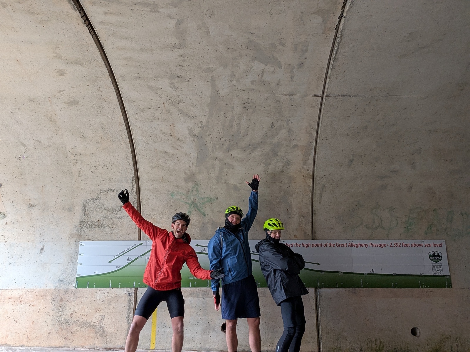
Neighbor L helped me disassemble my bike and put it in a box for the plane ride to DC, and off I went! P picked me up from the airport, and I stayed with A, K, and their kids. After a buffer day assembling the bike and a dinner with a lovely assortment of DC friends, I set off on the first week of the trip along the C&O Canal Trail and the Great Allegheny Passage.
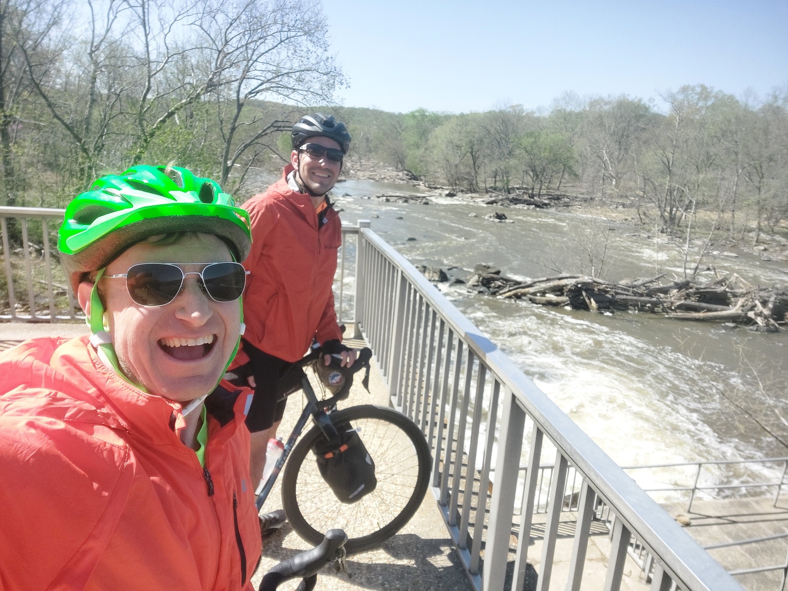
This first leg was the only time I had folks riding with me until the very end – J rode the first day with me to Harper’s Ferry, and Cousins B and S joined me the three days to Pittsburgh. On the first day of the GAP, B, S, and I crossed the eastern Continental Divide!
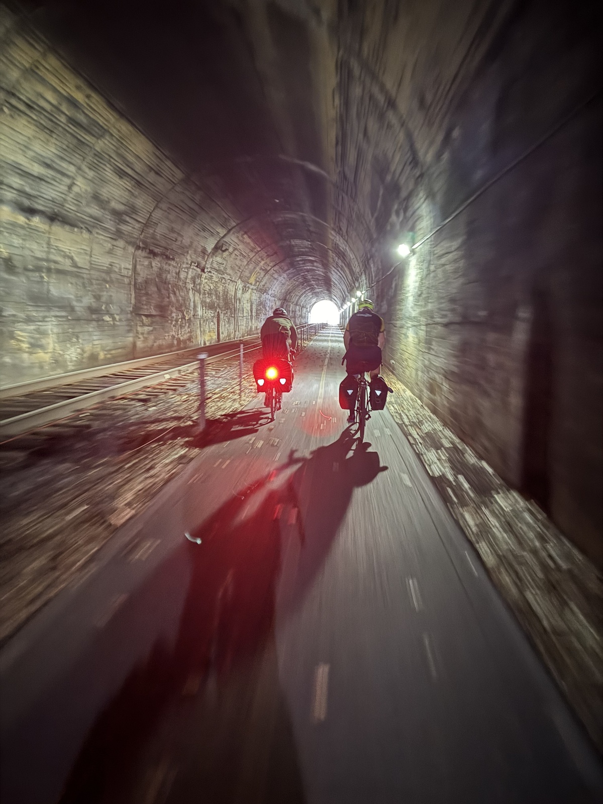
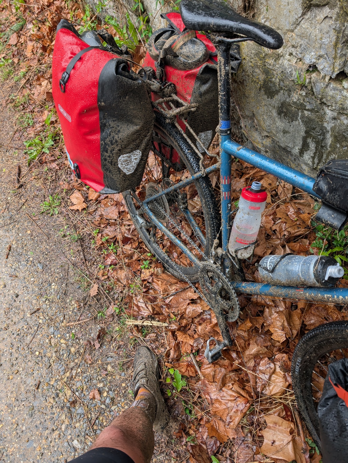
Riding the C&O and the GAP was my first real experience on gravel, and it’s tough. Especially with the extra weight on the bike, my speed was discounted about 20% by the gravel and by another 20% when it rained an inch my second day and the gravel turned to mud. My cleats also clogged with gravel, which mangled the cleats and made it difficult to clip in. It was frustrating, to say the least! Fortunately, my bags are waterproof and I was able to put everything inside them.
The first couple of weeks of the trip served as both a physical and mental warmup for the rest of the journey. As predicted, my body got used to the rhythm of riding 5-8 hours a day with 40 lbs of stuff on the bike. I also got into the daily routine of checking the weather forecast, packing the bags, navigating, figuring out where to eat and sleep, arriving, unpacking, going to sleep, and doing it all over again! Mentally, I had to get used to the fact that I was leaving my family for a long time and give myself permission to do the trip – it was easy to feel guilty for taking a necessary rest because I felt like I wasn’t making progress to get home as soon as possible.
I made a couple of conscious mindset shifts, too. On previous tours, I’ve learned that when riding for multiple days, there’s literally nothing to do all day but get to where you’re going by sundown – it’s a marathon, not a sprint. So, I made sure I left early enough and took as many breaks as I needed. A new mindset shift for this trip was being explicit about my priorities. My goal was to make it to the beach on my own power in one piece, not to follow the route I’d planned or complete every trail. I gave myself permission to get off the C&O Canal Trail (and later, the Katy Trail in Missouri) to avoid muddy gravel. Orienting myself around the purpose provided some clarity when I had to make some tougher planning decisions.
My planning was done 12 to 48 hours in advance. Every evening, I’d look at the weather forecast and the upcoming towns on the route and plan 2-3 options for food and lodging. By each day’s lunch, I usually knew where I’d stay that night. There was a fair amount of rain, especially in April, but the wind was the real killer. A substantial headwind makes for a rough day, and a tailwind can add 20-30% extra distance for minimal extra effort. Two-star motel options are plentiful in the eastern United States, and same-day booking made the rates relatively affordable, too.
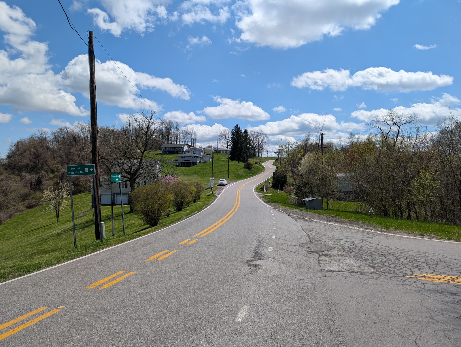
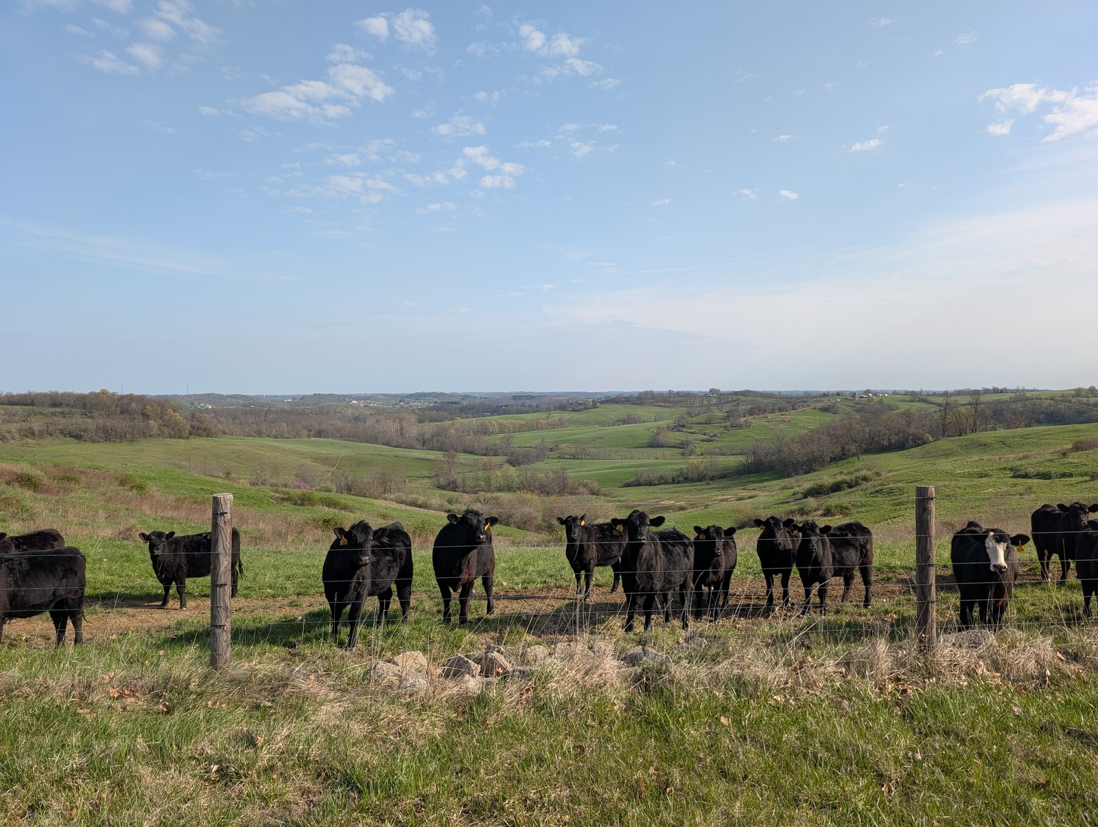
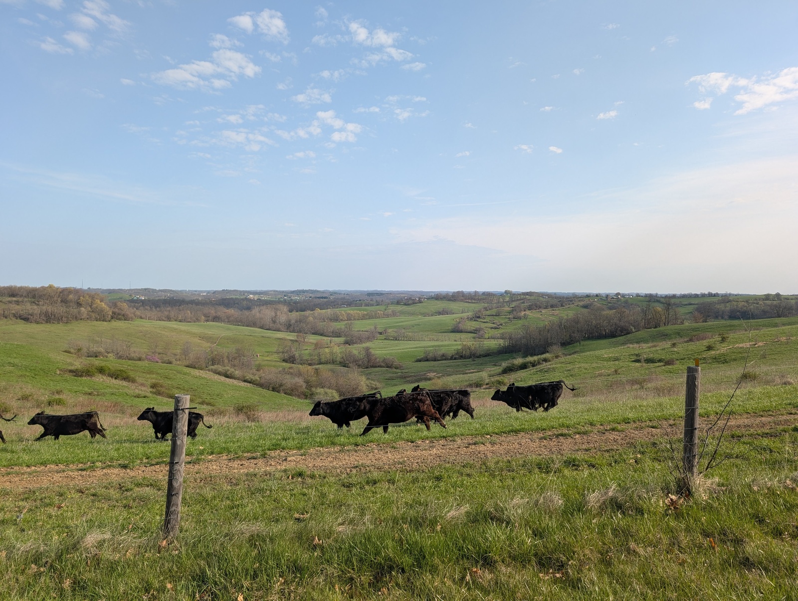
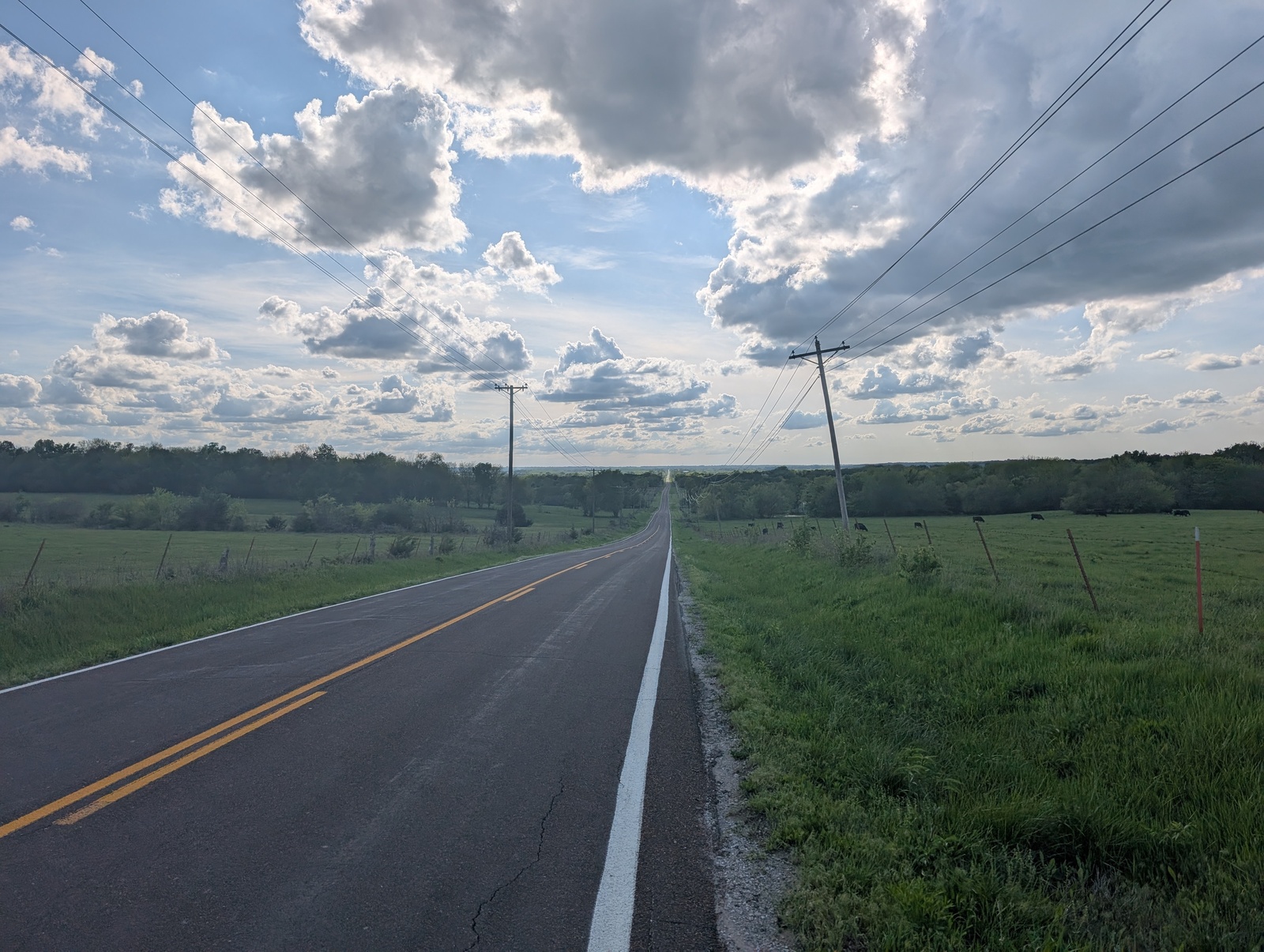
Out of Pittsburgh, I rode up into the Western Appalachians into West Virginia and Ohio. This was my first taste of climbing, cows, and yards with many, many cars.
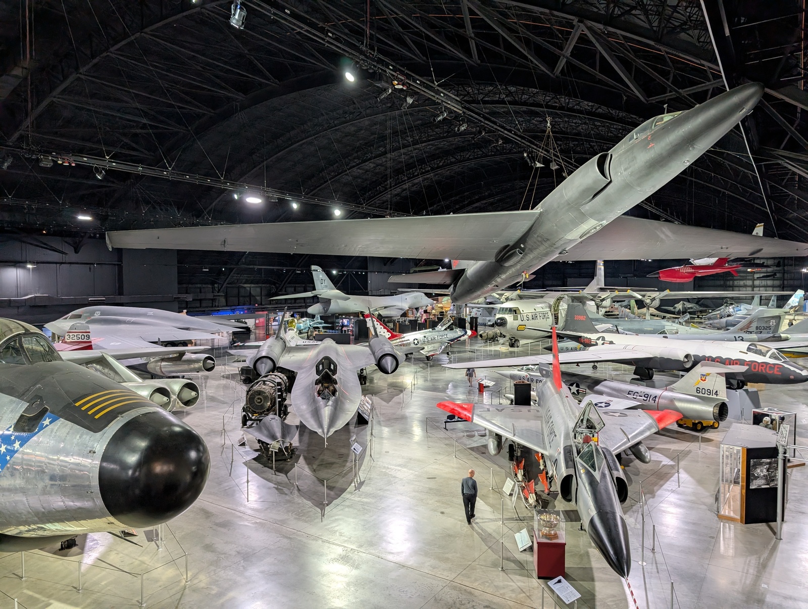
I stayed with C’s family in Columbus, and she and her fiancé flew out for the weekend! The first day where I really felt warmed up was from Columbus to Dayton – I left after Easter lunch and still made it over 80 miles before sundown. On a rainy morning the next day, I took my first side quest to the incredible National Museum of the US Air Force.
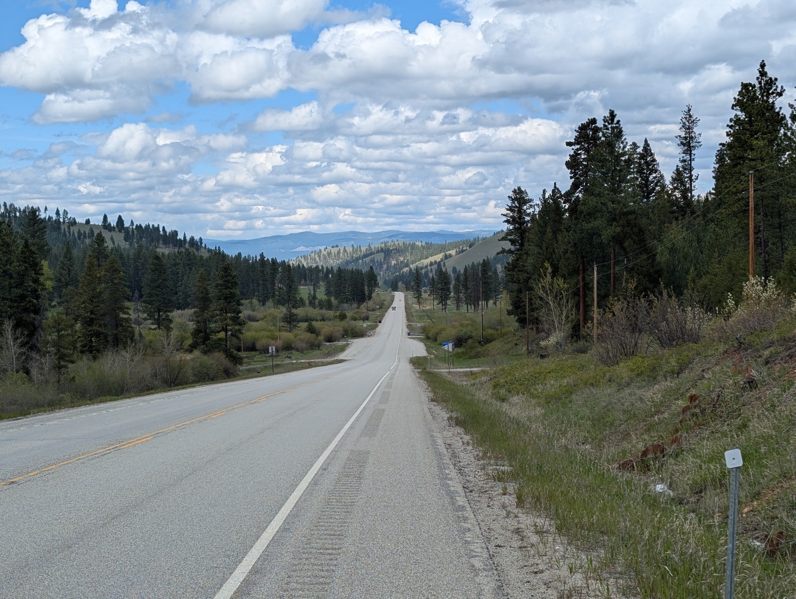
Leaving Ohio, the roads got flatter, and I picked up the pace – through Indiana and Illinois, I did 300 miles over three days. In the Bay Area, I’m used to riding shorter distances with a lot of elevation gain, not 100+ miles on flat roads, and certainly not with full bags on my bike. LET’S GO, BABY!
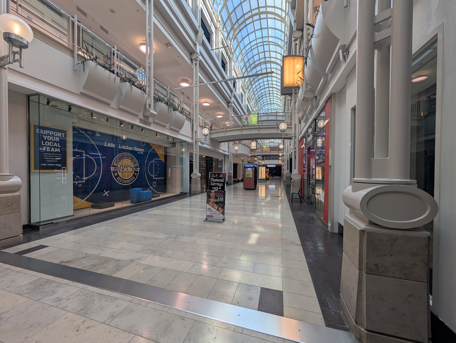
Cousin R came to meet me in Indianapolis, and downtown Indy was a trip. In one 15-minute walk, I saw folks dressed up to go to a Pacers playoff game, a hollowed-out mall with only a couple of remaining storefronts, Christian conference attendees with lanyards, and a plaza with folks laying on the ground and/or yelling at one another. My route out of town followed a bike path with tents and downed trees. For all the flak San Francisco gets, it turns out that fentanyl and recovering post-COVID is a real problem for other American cities, too.
Missouri presented some real challenges. My route mostly followed the Katy Trail, and the rain and muddy gravel made for some difficult riding. At one point, I departed early and left the trail to try to avoid a rainstorm. My new route took me on back roads with a few scary encounters with aggressive dogs, and I had to shelter in a Subway for a couple of hours until the thunder and lightning subsided.
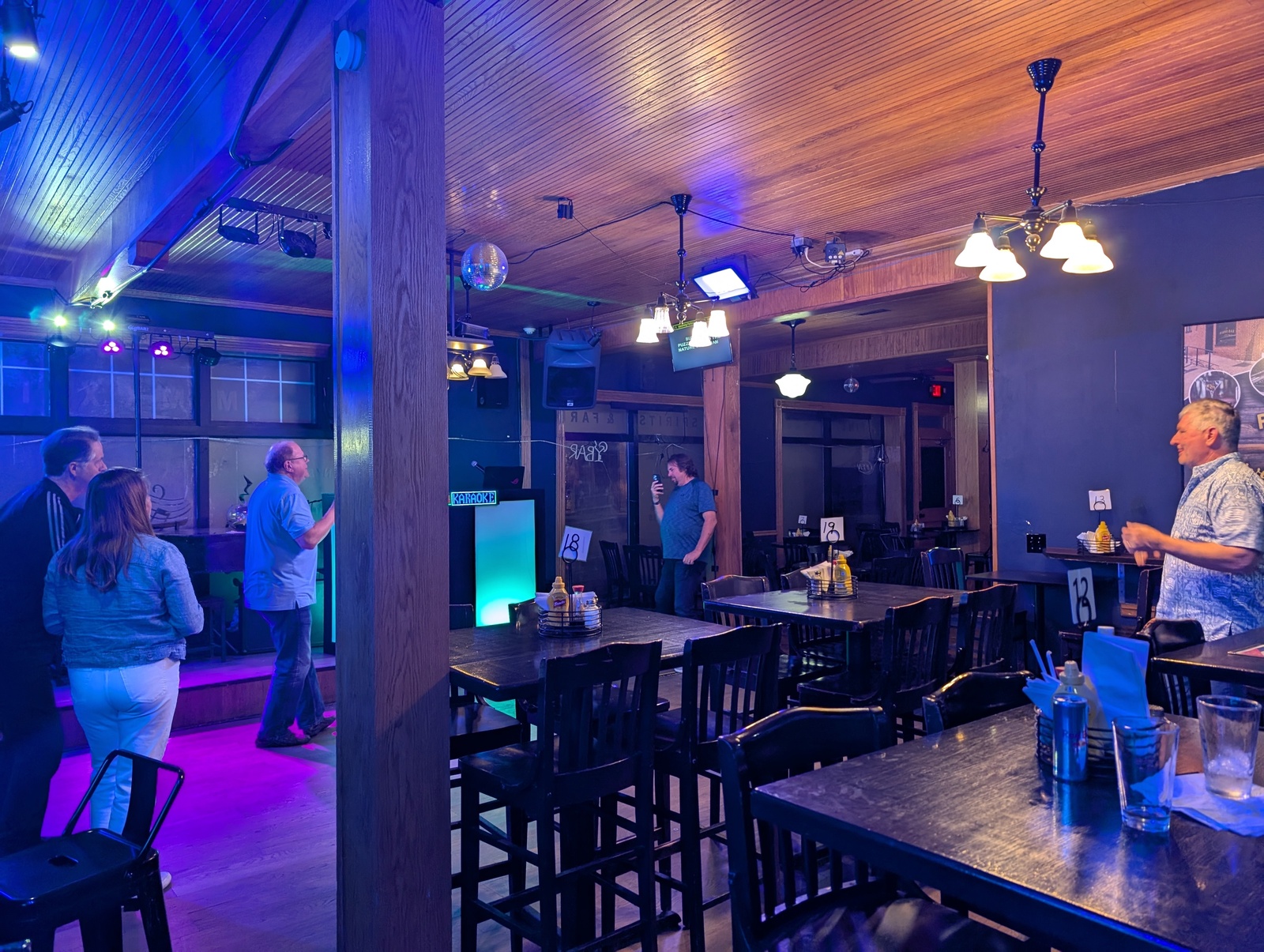
Despite the tough conditions, I was buoyed by visits with my parents’ cousins L, B, H, M, D, and V! In Hermann, MO, a bar was my only chance for food on a Sunday night, and although the kitchen was closed, I made new friends through karaoke.
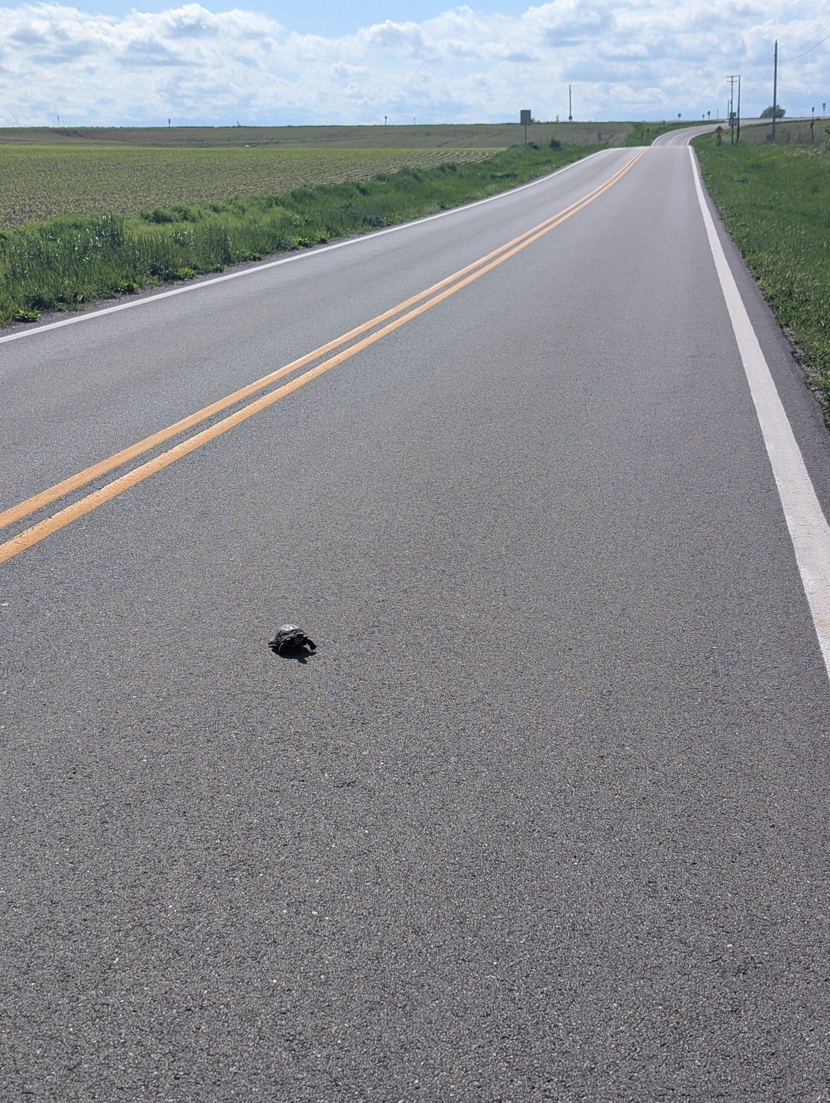
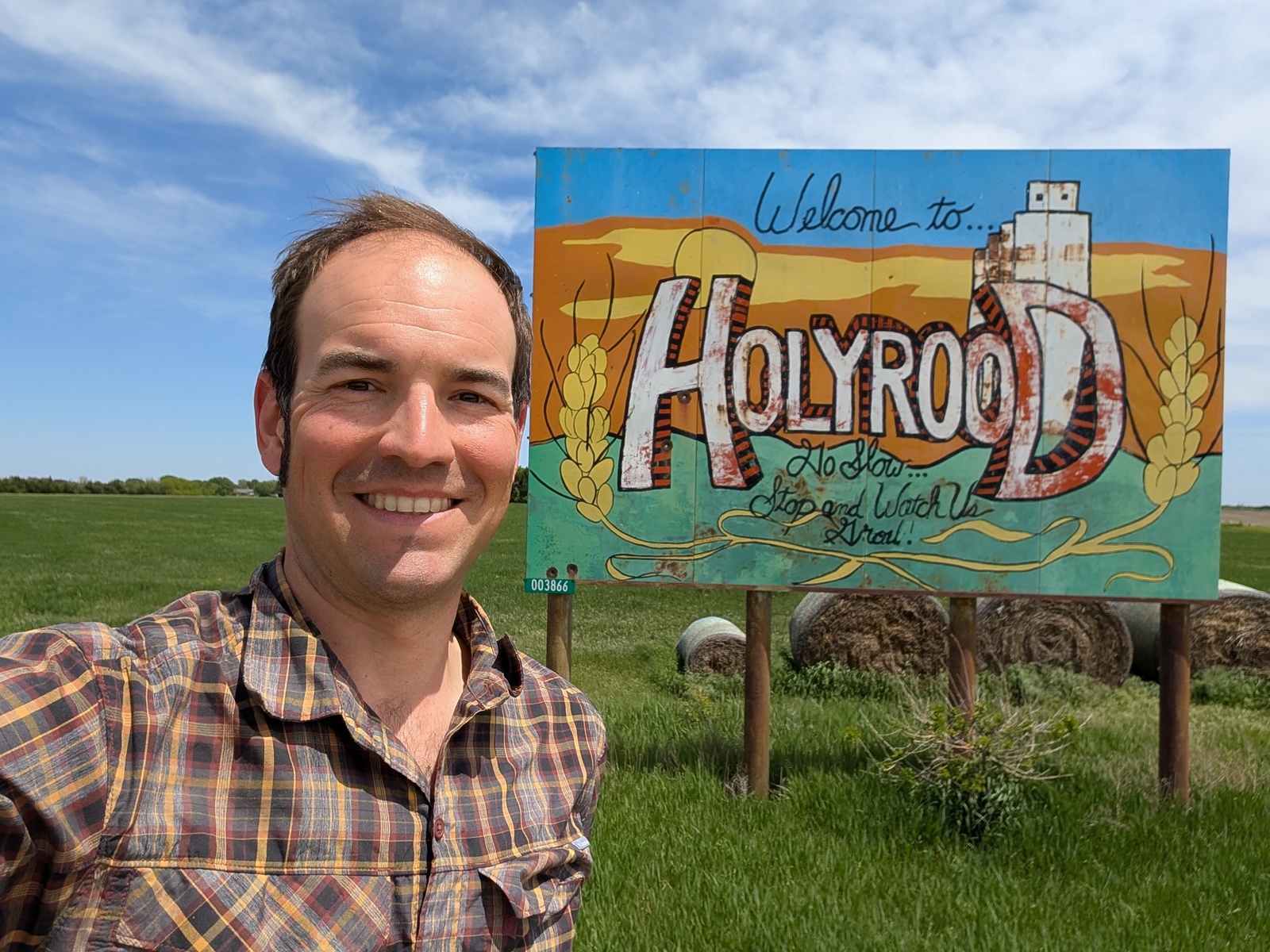
When I shared my route, several people warned me about Kansas – it’s boring, you’ll get in your own head, there’s always a headwind, etc. They were right! Kansas has about one day’s worth of scenery for a week’s worth of riding. I got cropdusted once, and the turtles kept the road interesting. Fortunately, my stay in Kansas didn’t last long – getting out of the gravel and mud meant that I could pick up my pace again, and I FLEW on the flat roads. I averaged about 100 miles a day that week.
I took a particularly memorable side quest in Kansas to visit the area where my grandfather grew up on a farm. I rented a car and poked around where he would have lived and gone to church and school, none of which exists in the same way as it did when he was there. I met the man who was the pastor of the church after my grandfather’s family had left when I found an unlocked door at the church and introduced myself to his wife. She invited me over to their house for a visit that afternoon, and I realized that the pastor and I had three connections: he was the pastor at the church where my maternal grandfather had gone, he took classes from my paternal great-grandfather in seminary, and he was the brother of one of the deacons of our church when we lived in Brooklyn. Wild!
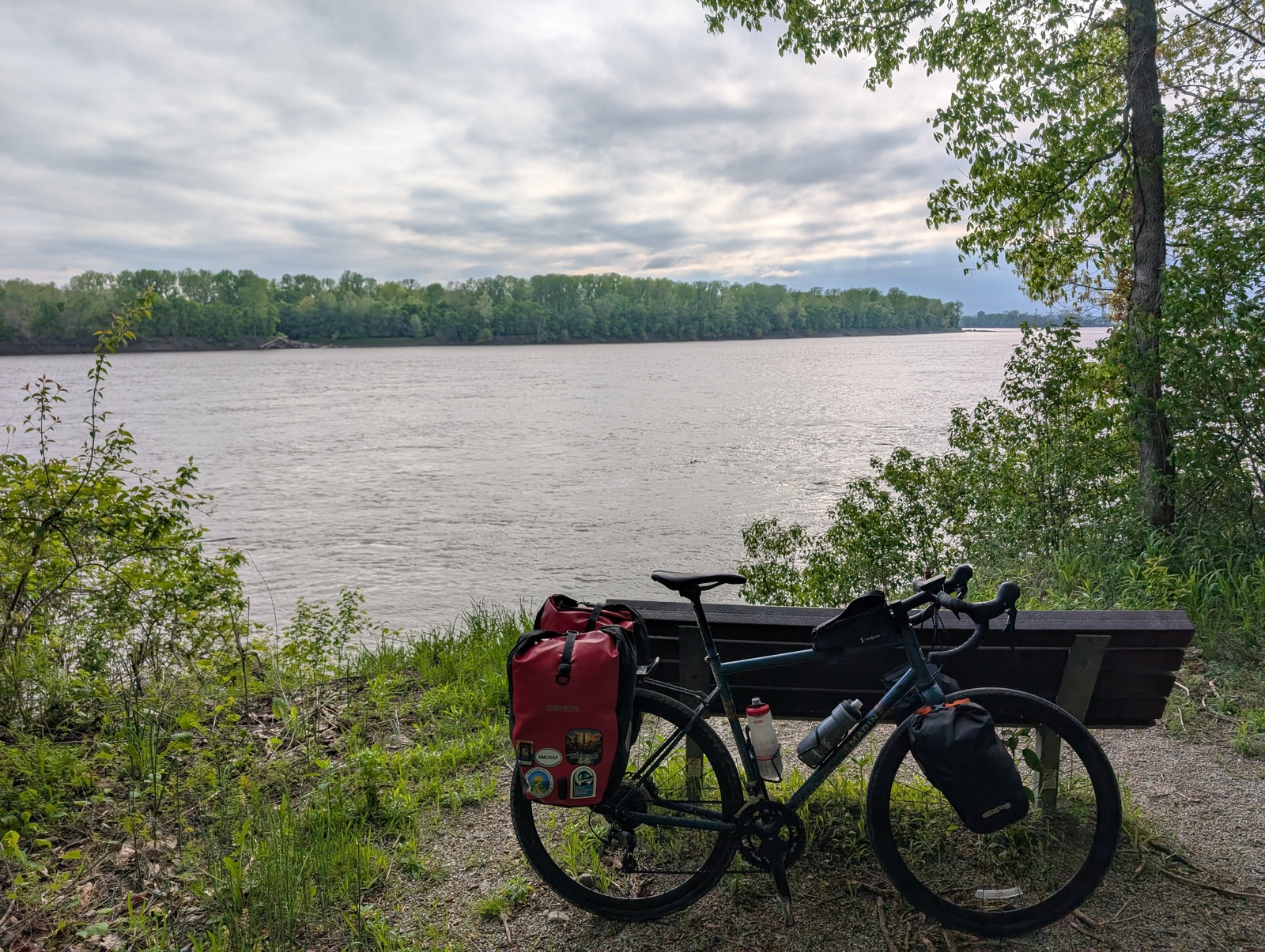
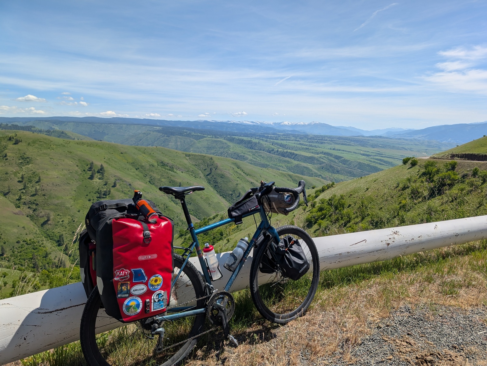
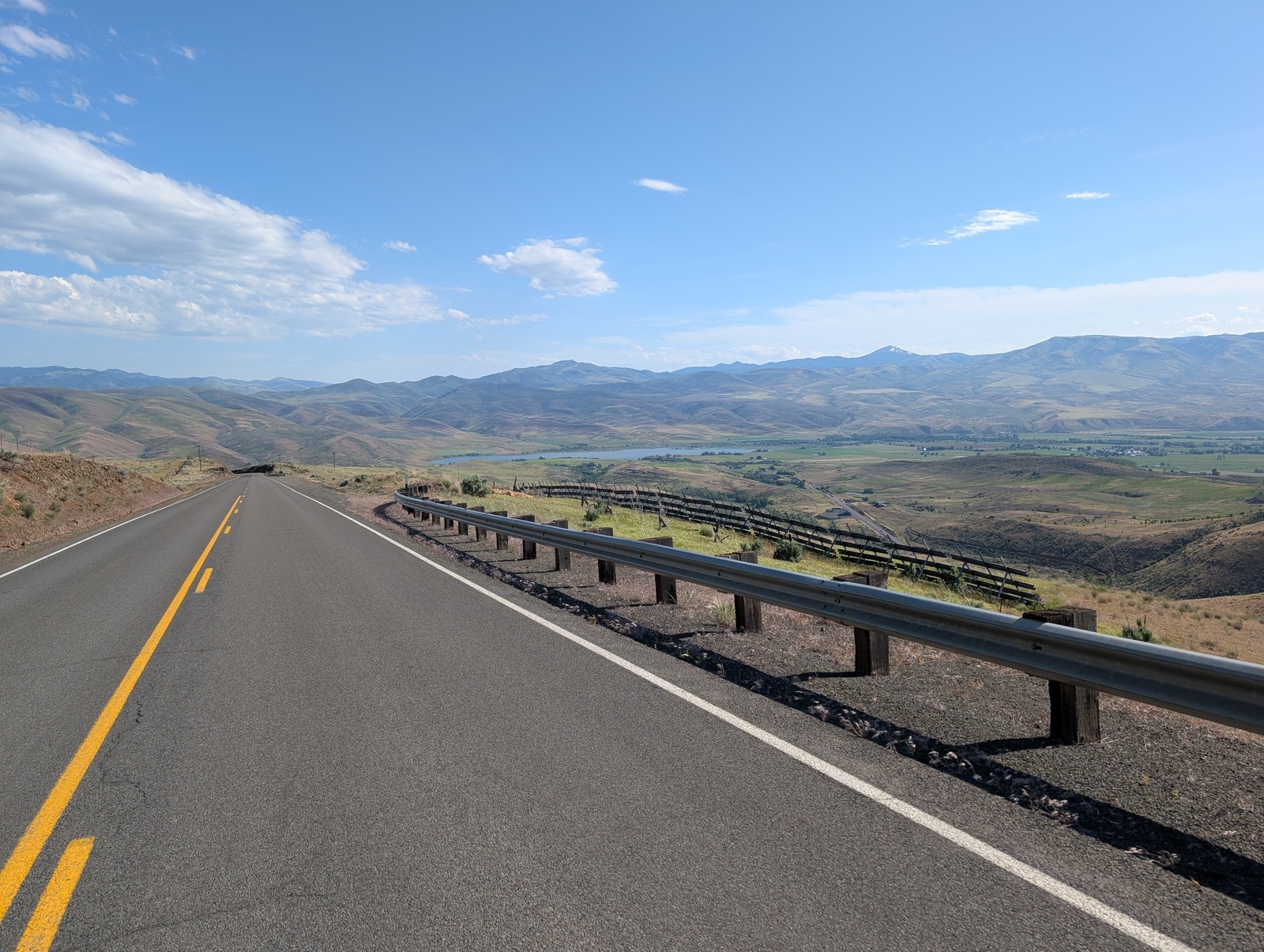
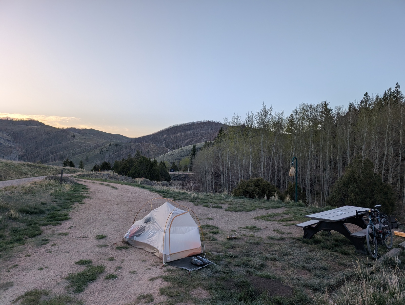
Leaving Kansas marked the halfway point and a significant change in the trip. In the east, my route was mostly flat and followed the interstates, which meant that there were plenty of services and 2-star motels along the way. The west was much less predictable and required some planning creativity. I camped, carried more food for meals, and frequently did long stretches with no services in between. I got to use all the physical and logistical muscles I’d developed during the first half of the journey.
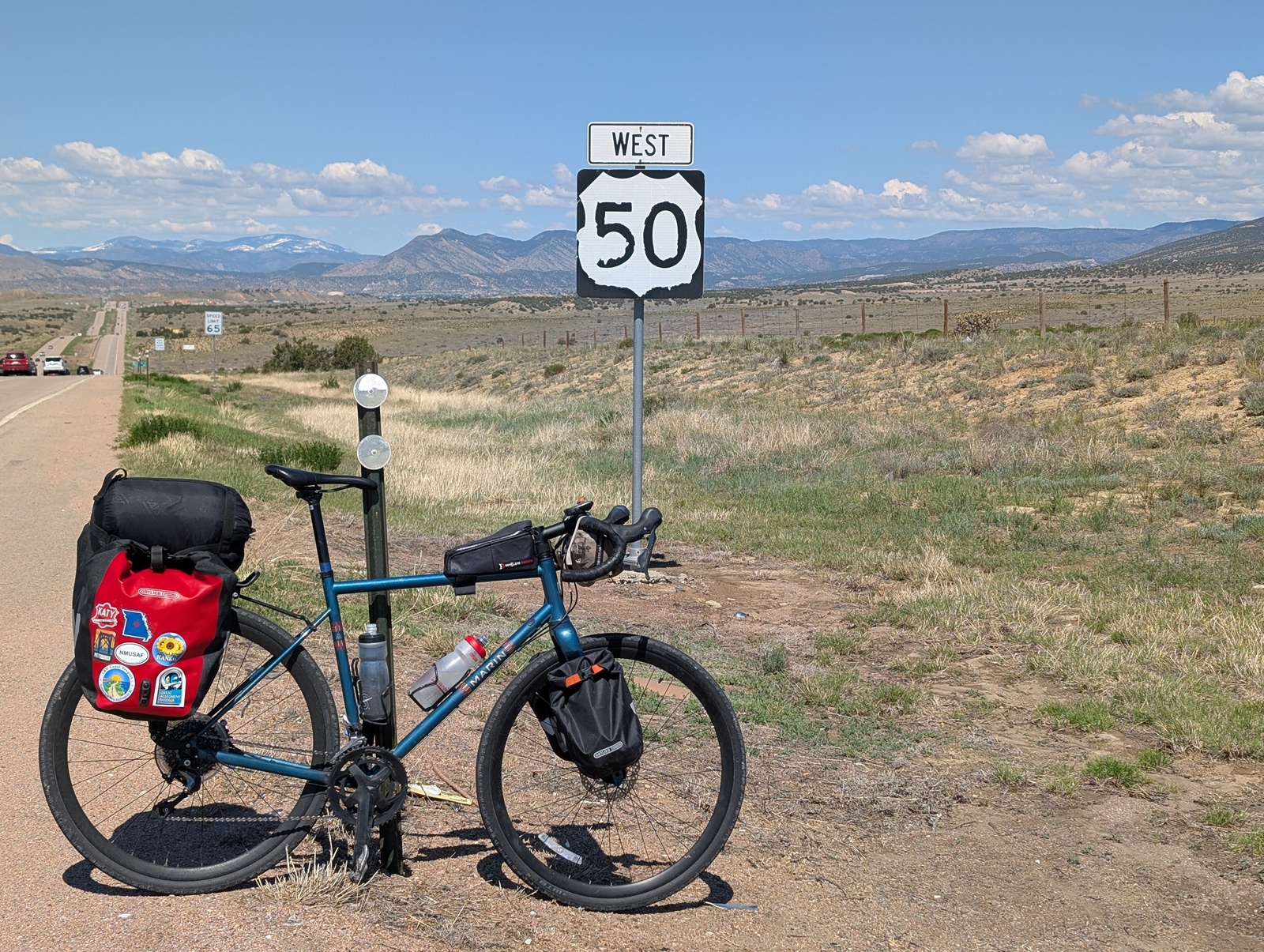
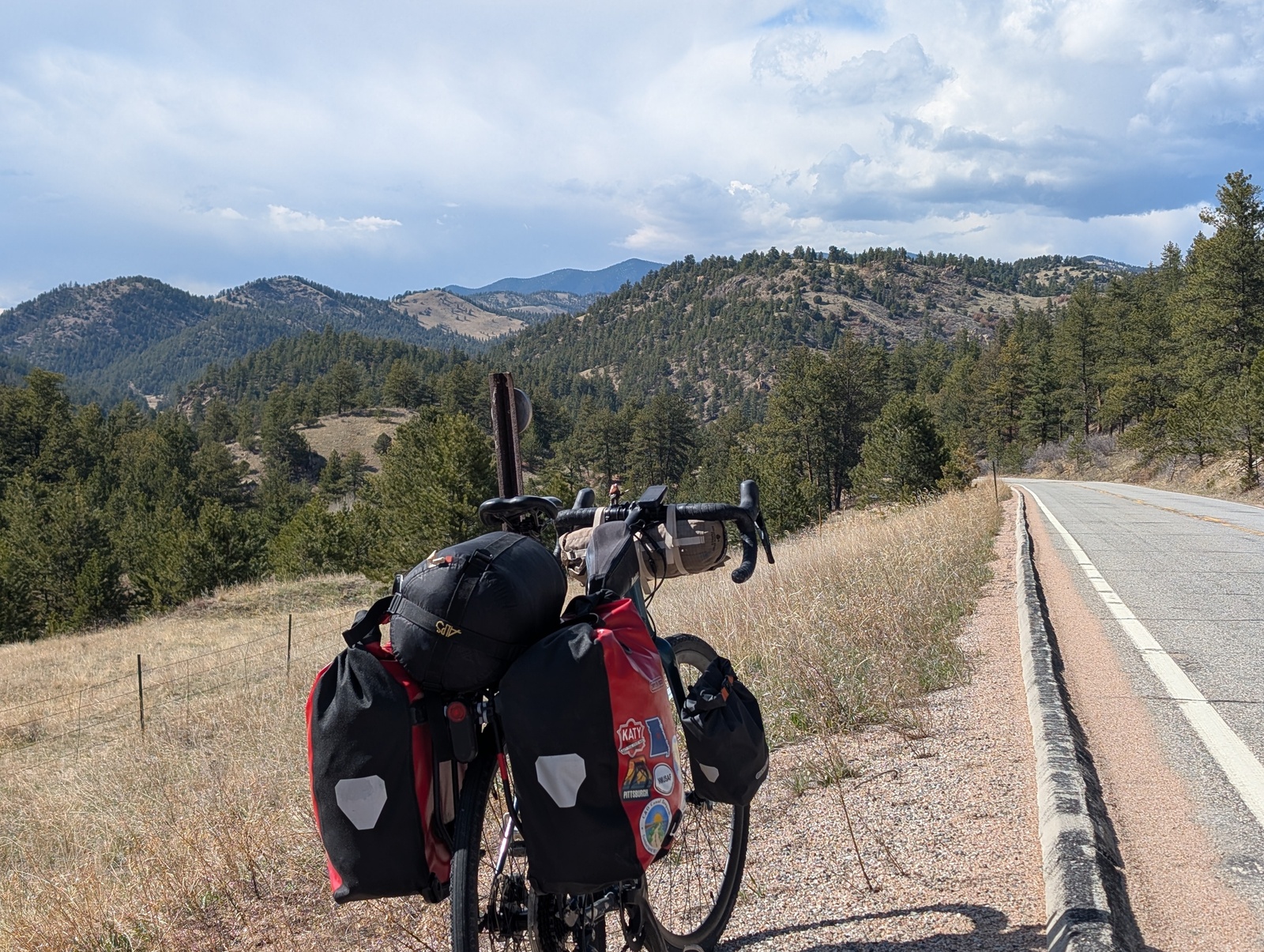
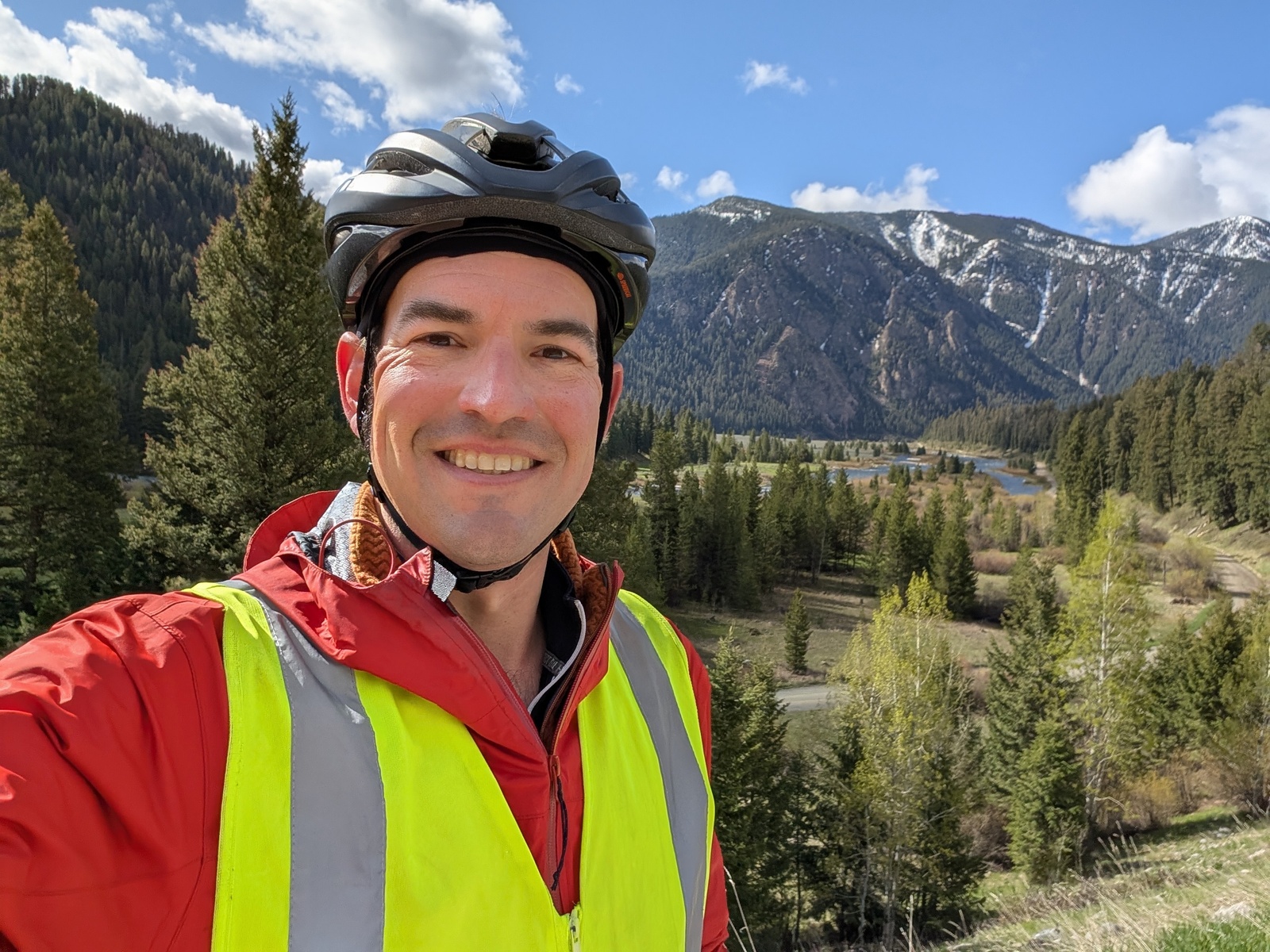
In Colorado, I had dinner with my mother’s cousin R and her daughter K before setting off for the highest peak on the route – Hoosier Pass, my first crossing of the western Continental Divide. Over the course of a day and a half, I climbed from 4700’ above sea level to 11539’ at the pass. On the way, I had lunch with S and L in Alma, the highest incorporated town in North America.
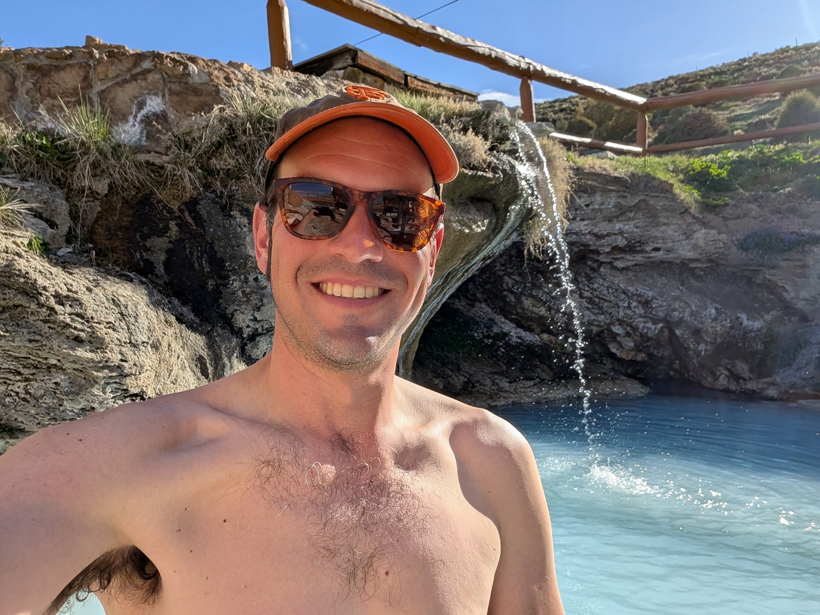
The beautiful views in Colorado more than made up for the challenge, though! Afterward, I did a shorter ride to Hot Sulphur Springs, which featured, you guessed it, hot sulphur springs.
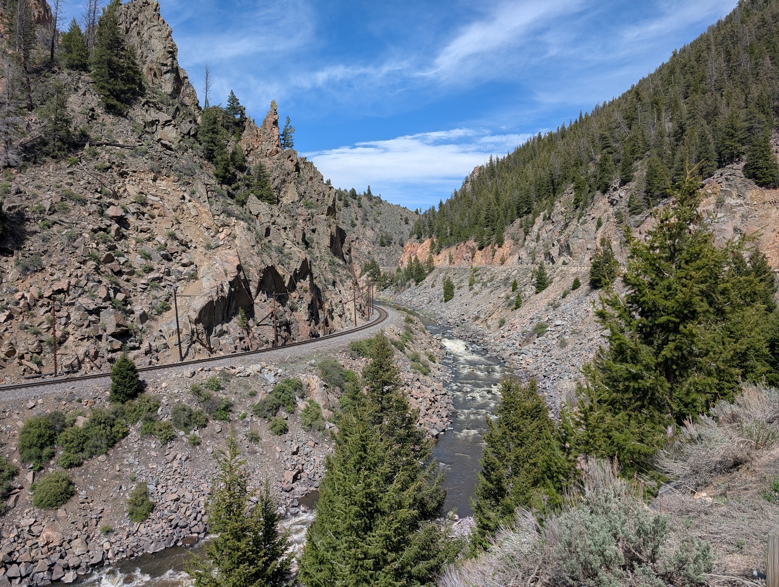
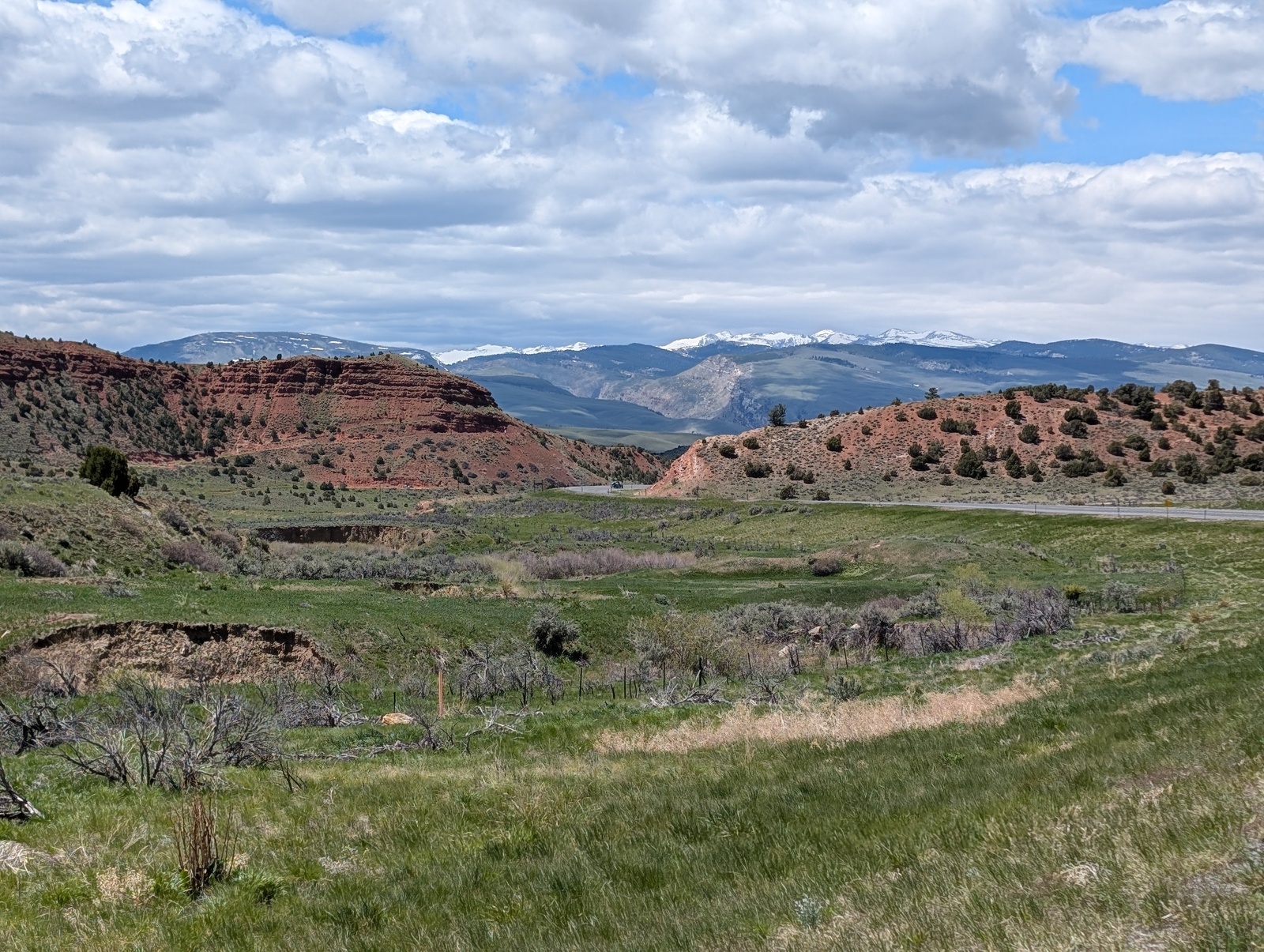
Wyoming presented some of the most beautiful terrain and challenging riding. I camped for the first time along the Wyoming/Colorado border and woke up covered in frost! Between Rawlins and Jeffrey City, I had the pleasure of riding against 25mph headwinds. The state highway I rode on had a wide shoulder, and every time a truck passed, I’d get caught in the slipstream, pulled forward a bit while it was next to me, and then blown backward once it passed. When a truck passed on the other side of the road, I’d get blown backward for a second and then pulled forward. It was harrowing, I yelled a lot into the wind, and no one heard me.
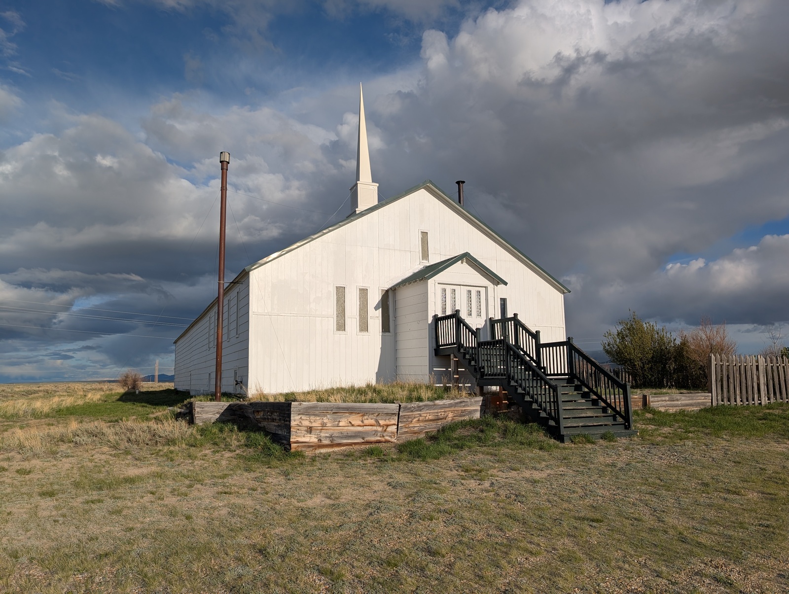
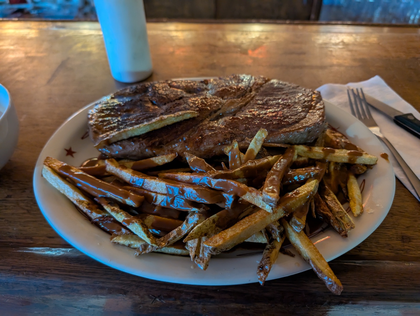
When I arrived in Jeffrey City, I stayed in a church that opens its basement to cyclists and enjoyed eating an enormous “steak sandwich” at the only restaurant in town.
Lander, WY was surprisingly hip. It’s home to the National Outdoor Leadership School and some killer rock climbing nearby, attracting young outdoorsy folks and some cool restaurants and breweries.
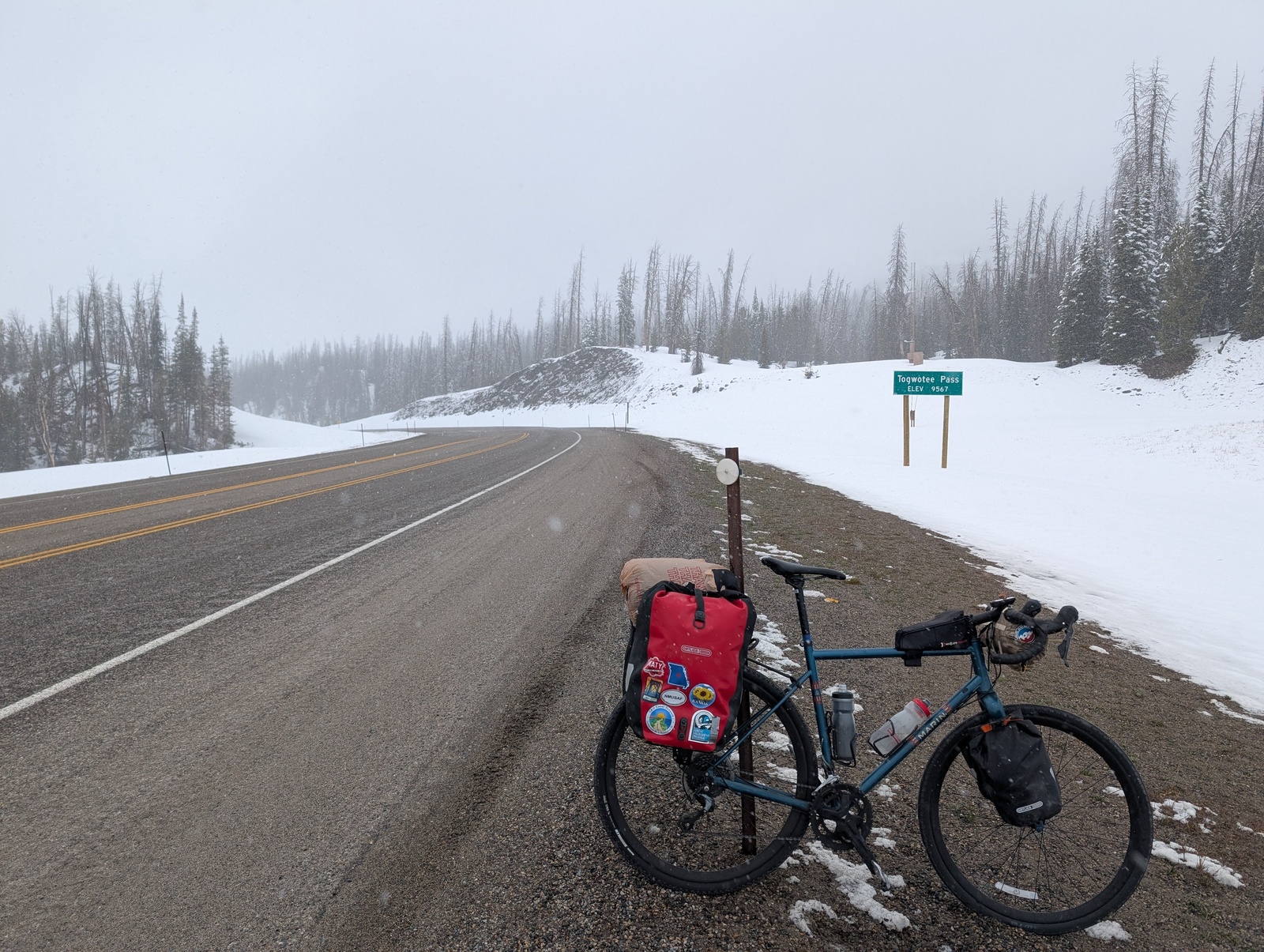
I crossed the western Continental Divide for the fifth time at Togwotee Pass and encountered my first snowstorm. It had been near-freezing at various points on the trip, and I’d encountered rain, but never both at the same time. I guess that’s what I should have expected at 9000+’. The snow turned into cold rain on the way down to Grand Tetons National Park, and the park ranger at the gate convinced me to buy some bear spray. I didn’t end up using it with bears, but I wish I’d had it for the dogs in Missouri!
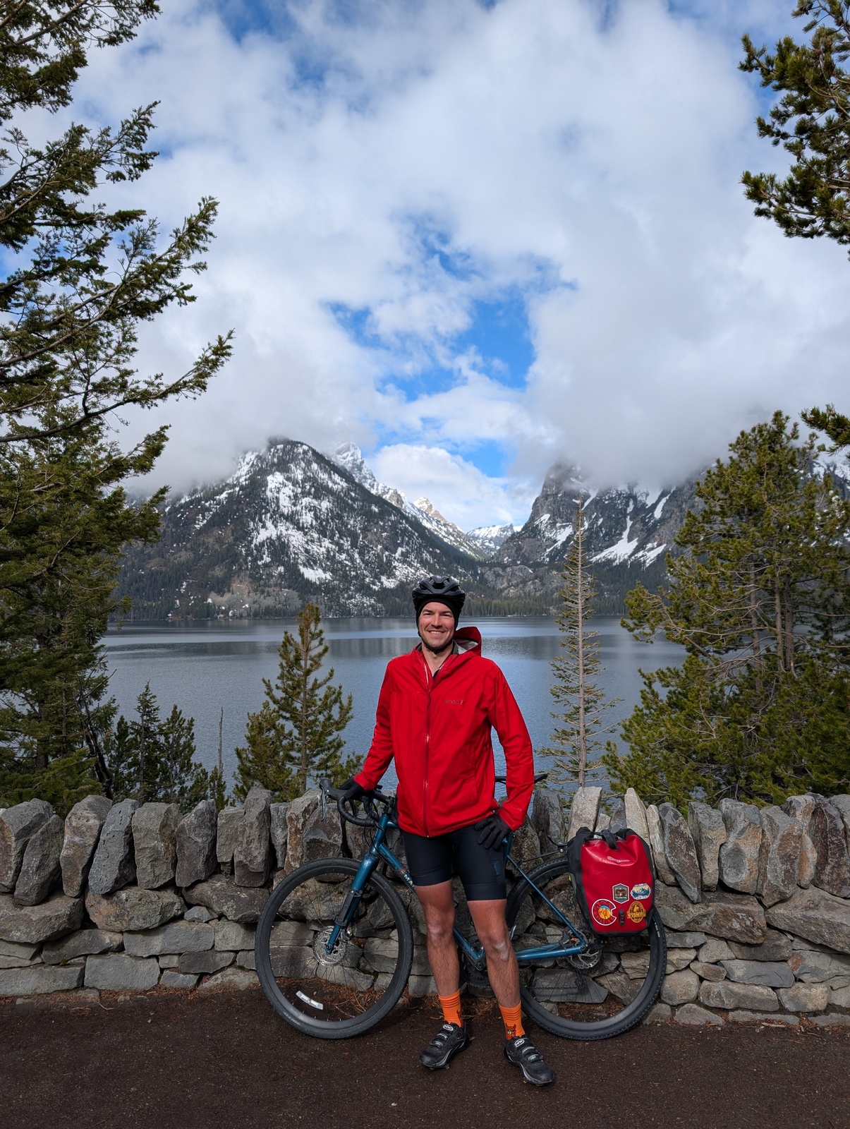
The next day, I left the bags in my room and cruised unencumbered down to Jenny Lake. I got back in time for checkout, picked up my bags, and rode into Yellowstone.
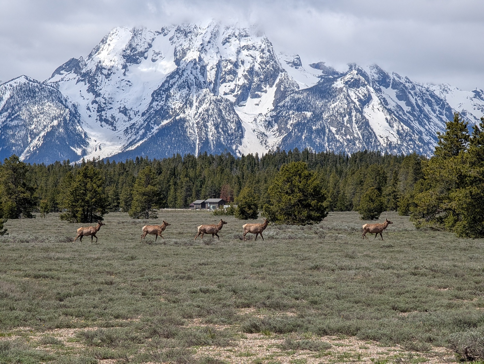
There was snow on the ground but fortunately not in the sky, and I crossed the Continental Divide three more times as I enjoyed the scenery and rolled into the Old Faithful Inn.
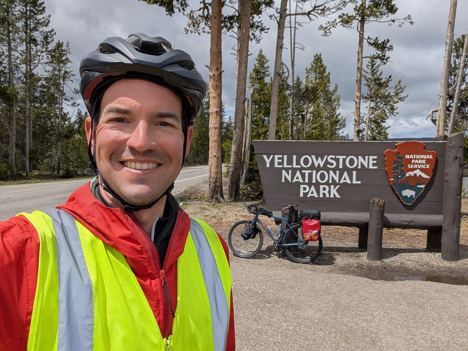
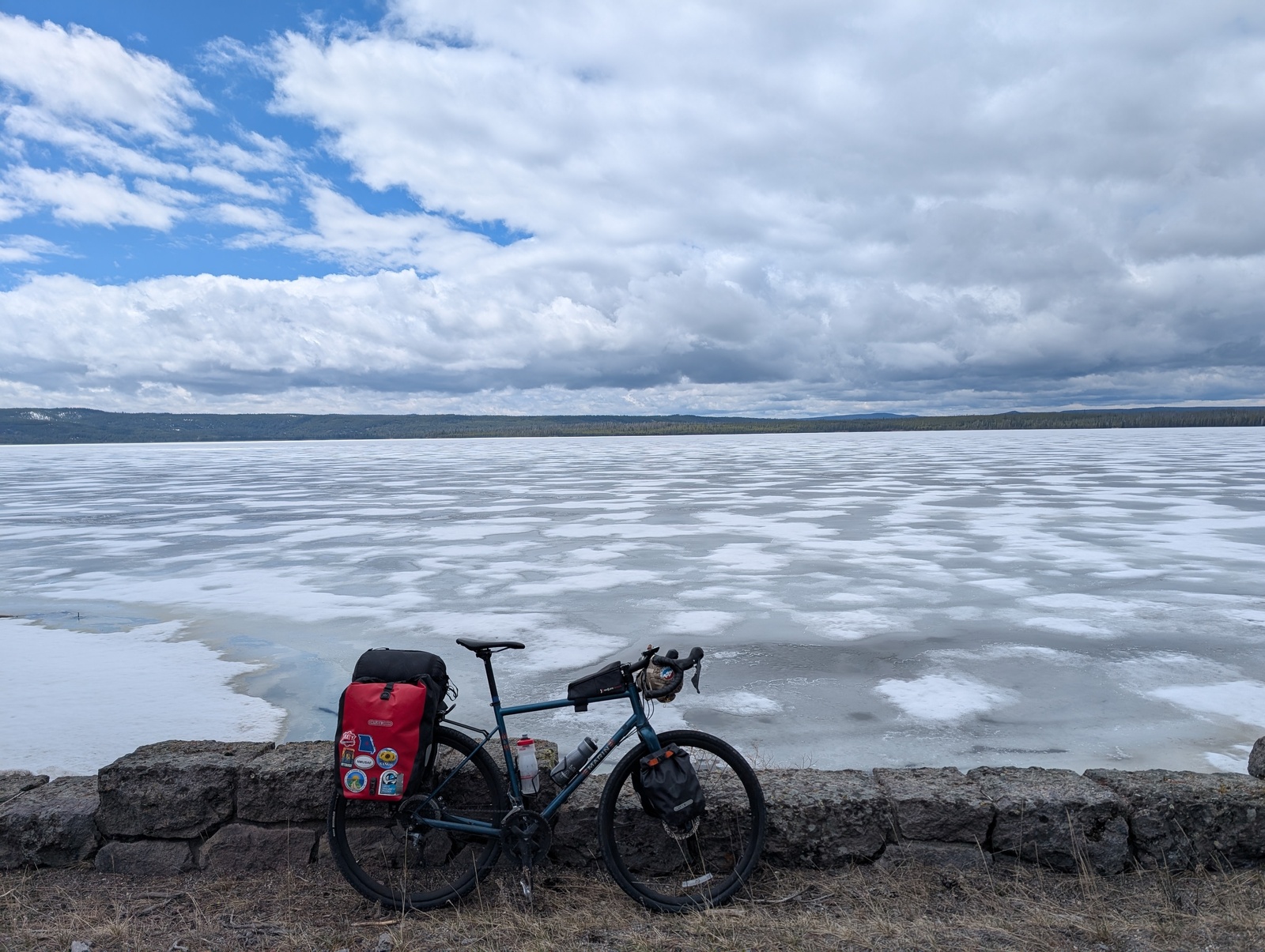
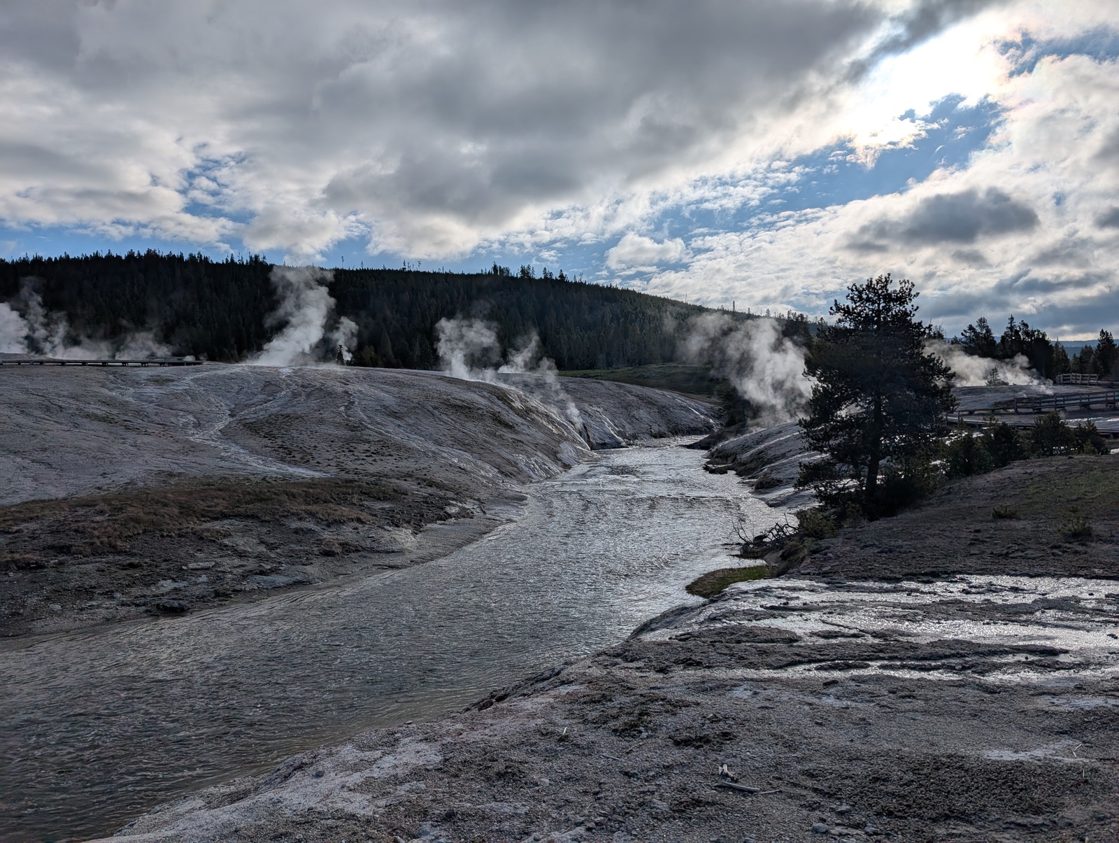
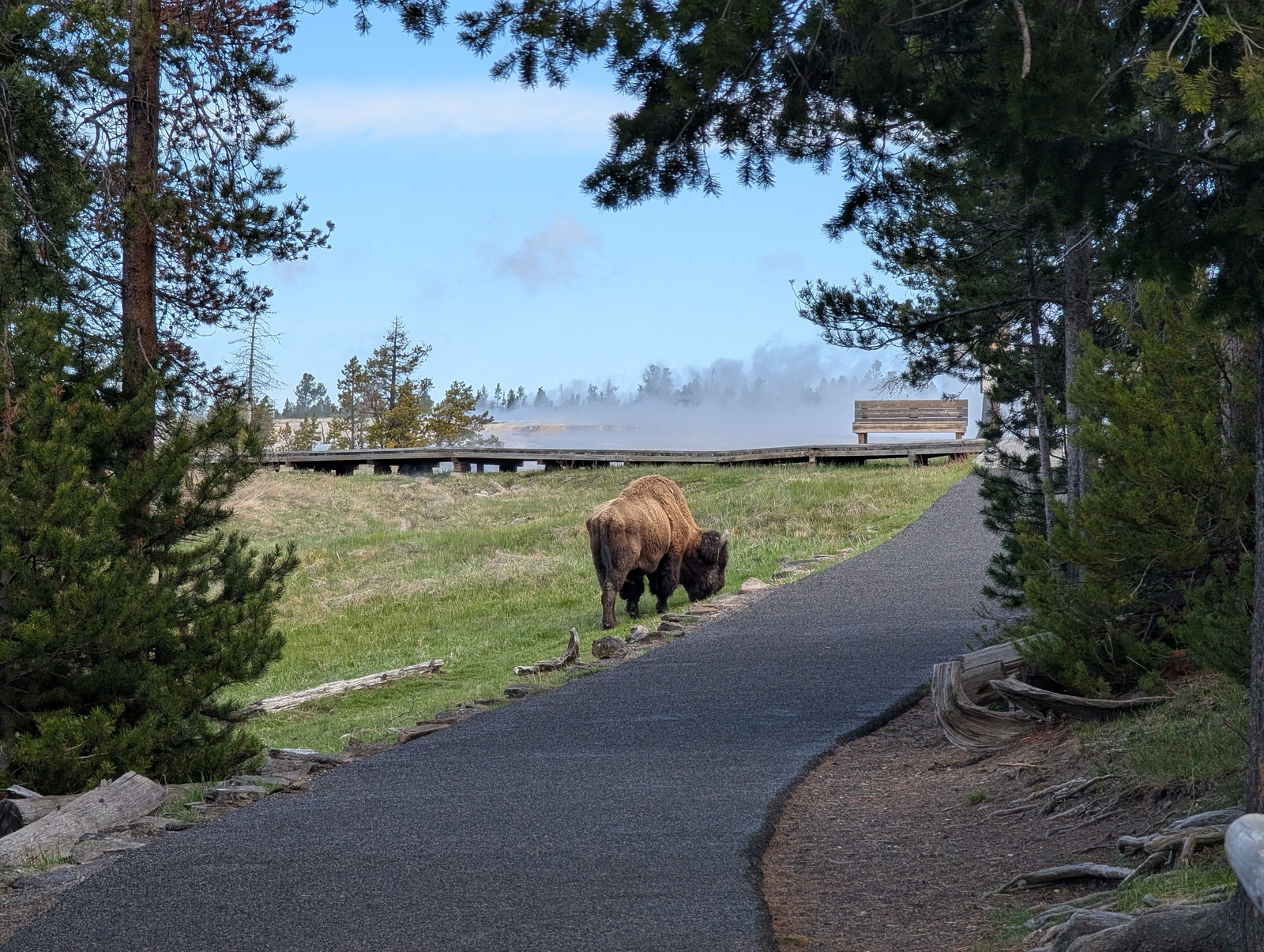
I wandered the geyser basin early the next morning and made a new friend, P. There were many fewer people than I’d expected in the park, which was somewhat understandable given the snow and a blessing to me as a cyclist on the road in a popular national park.
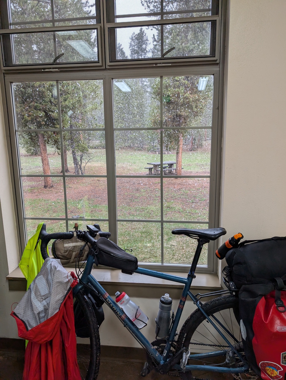
On the way out of Yellowstone, I got caught in my second snowstorm with a healthy helping of hail, and while I’d planned to go further that day, I called it quits in West Yellowstone. SNOW THANK YOU.
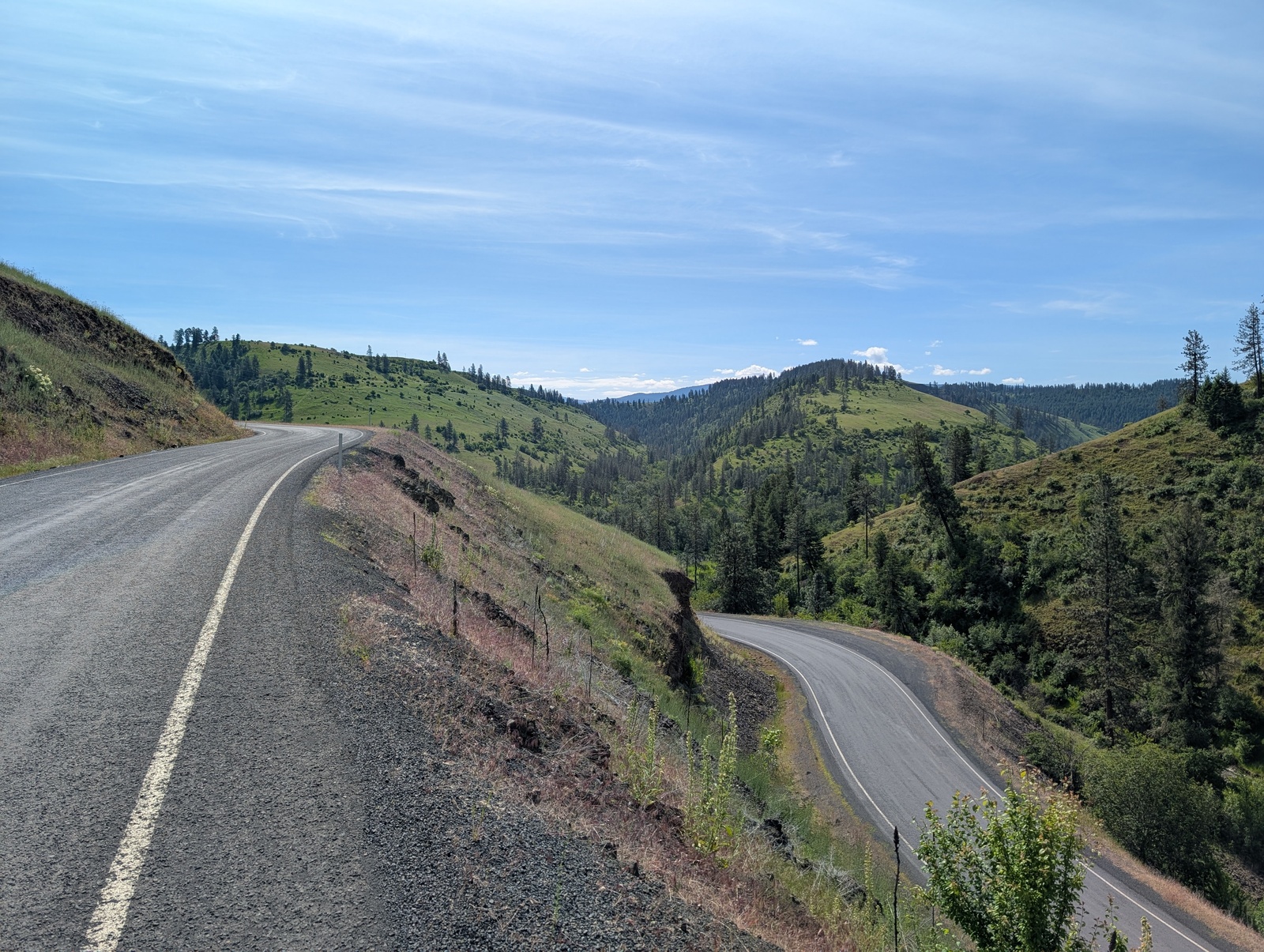
Montana offered more beautiful countryside and rolling hills, though I noticed a distinct shift in Montanans’ view toward outsiders than I’d experienced previously. When introducing myself as being from California, I heard several times, “ugh, I’m sorry.” When I pressed, I realized that the sentiment was a mix of the unfair perception that San Francisco is a rotting urban center in the media and the fact that many Californians have moved to Montana and jacked up the cost of living. One couple articulated to me that they’re fine with Californians moving to Montana and integrating with the community without trying to change it with fancy coffeeshops and enormous mansions. I get it!
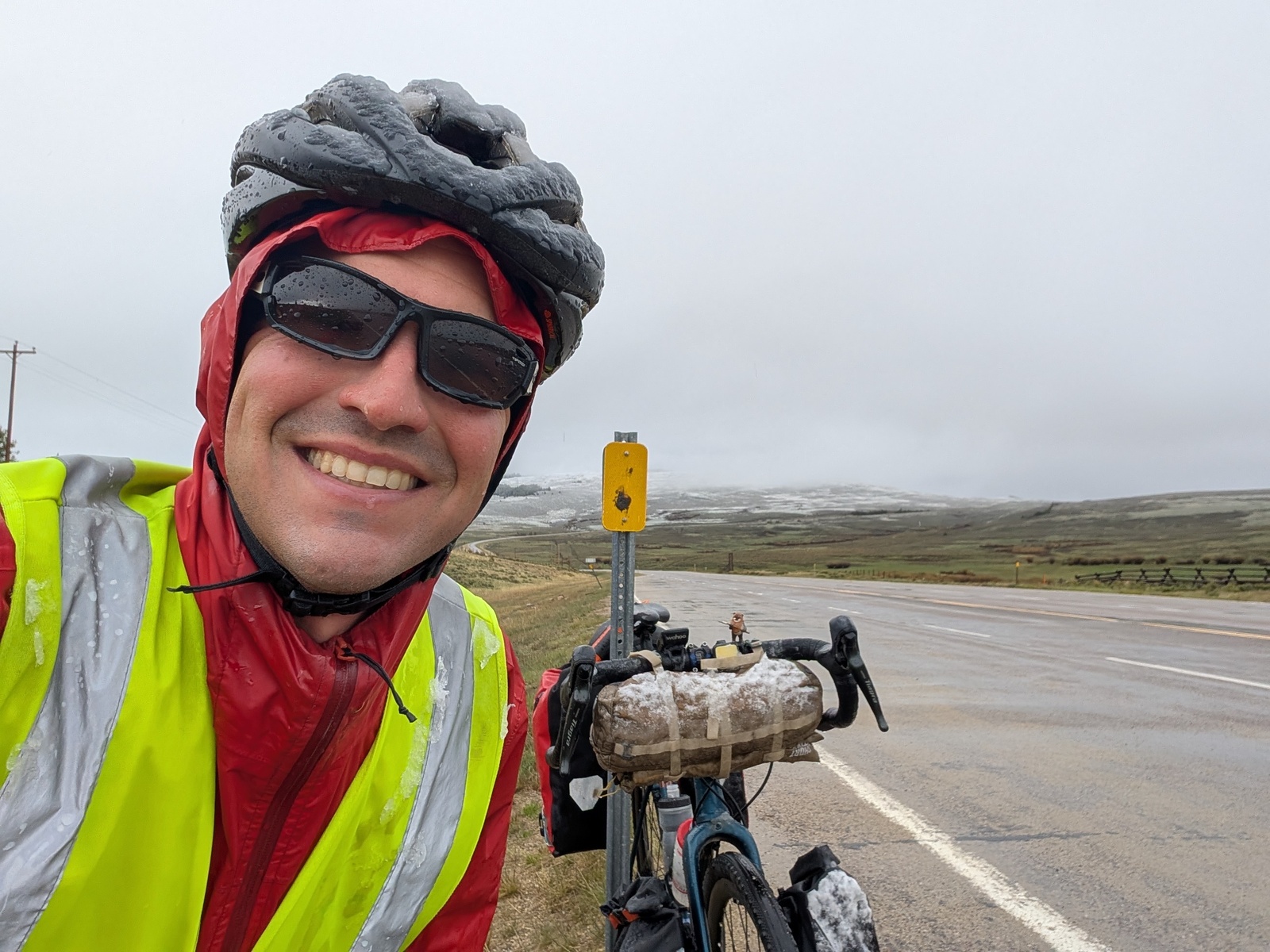
I got caught in my third and by far the worst snowstorm in Montana, too. The route that day featured a couple of large climbs with no towns along the way, and as I crested the first hill, the sky turned black. With nowhere to go but forward, I started the second climb with snow dumping in my face.
I flipped on some pump-up music, and after an hour at 5mph, I made it to the top, shivering and teeth chattering. Ten miles down the hill, I stayed at Jackson Hot Springs and took a welcome dip in a warm pool.
After my ninth and final crossing of the western Continental Divide and a stop in Missoula, a cool college town, I met Cousin C at a hot springs near the Idaho border for a lovely evening with him and his pup.
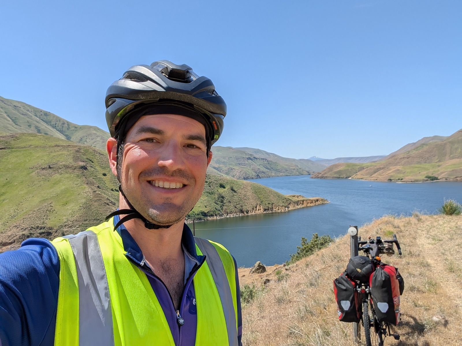
The climbing and scenery continued in Idaho as I rolled along. The trees and rivers were starting to remind me of the Sierra Nevadas – I was getting closer to home!
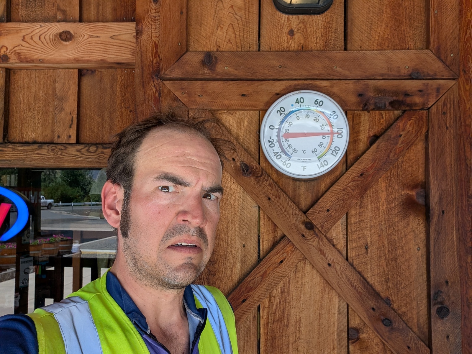
As I descended back to ~4000’ above sea level, the days started getting hotter again. I crossed into Oregon along the Snake River on a 100-degree day. Yikes! The few unpleasant hot days I experienced and the heat waves that the country has experienced since made me glad to have done this trip in the spring rather than the summer. While riding in the snow is decidedly unpleasant, I’d rather be cold than warm and dehydrated, and for the most part, I didn’t have to deal with any bugs!
During the last week in Oregon, I could sense the finish line getting closer, but I still had a lot of work to do. Oregon, as it turned out, offered the most elevation gain per mile of any state on my trip!
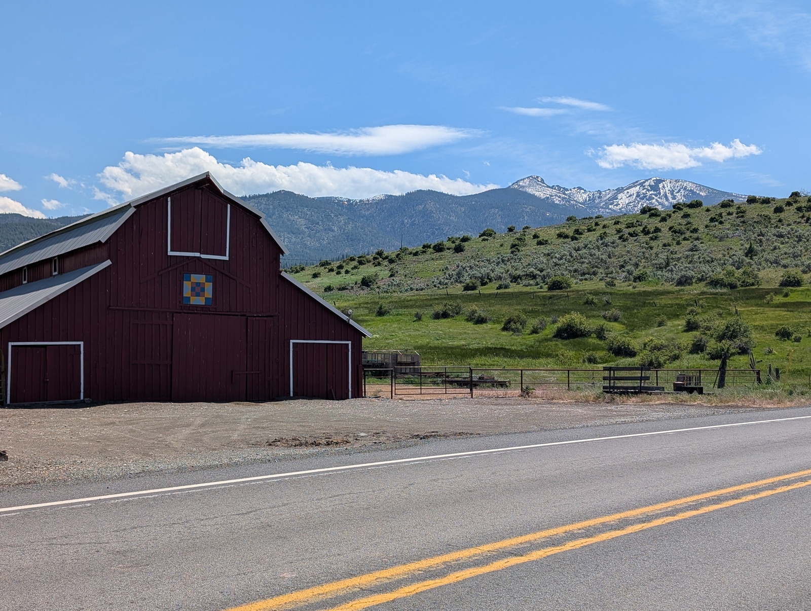
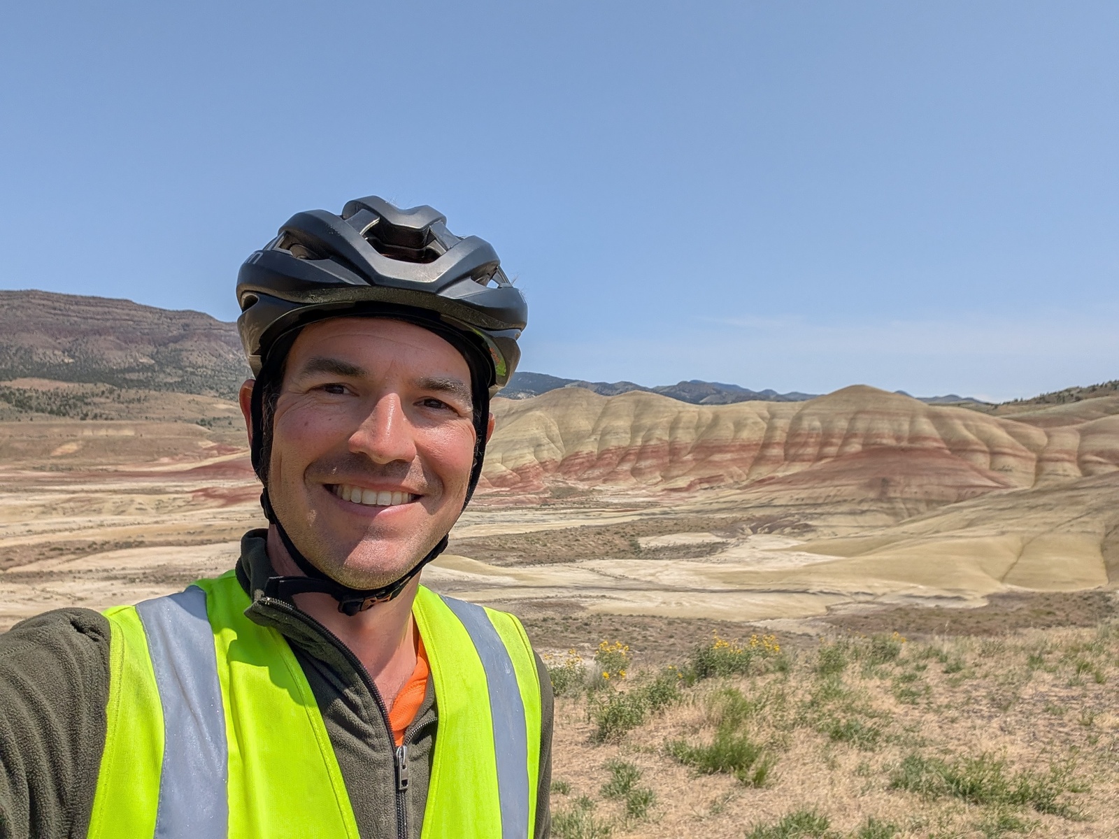
I’d planned to meet up with D in Sisters, OR for the last few days of the ride, so I had a little extra time to explore before our planned meeting time. I poked around the John Day Fossil Beds and left my bags at another church-cycling-hostel in Mitchell to visit the Painted Hills. Great side quests!
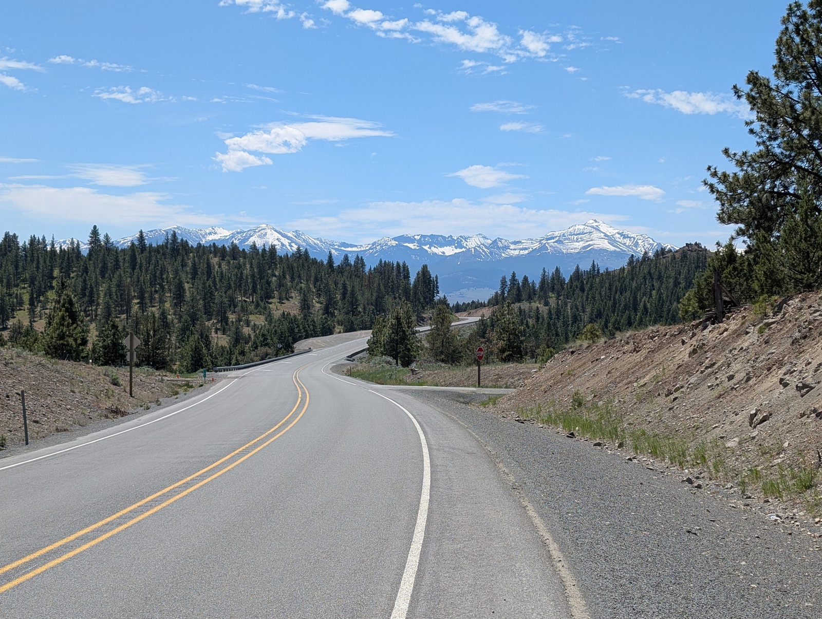
Sisters, just north of Bend, is so named for three beautiful volcanoes in the Cascade Range that loomed in the background as I approached.
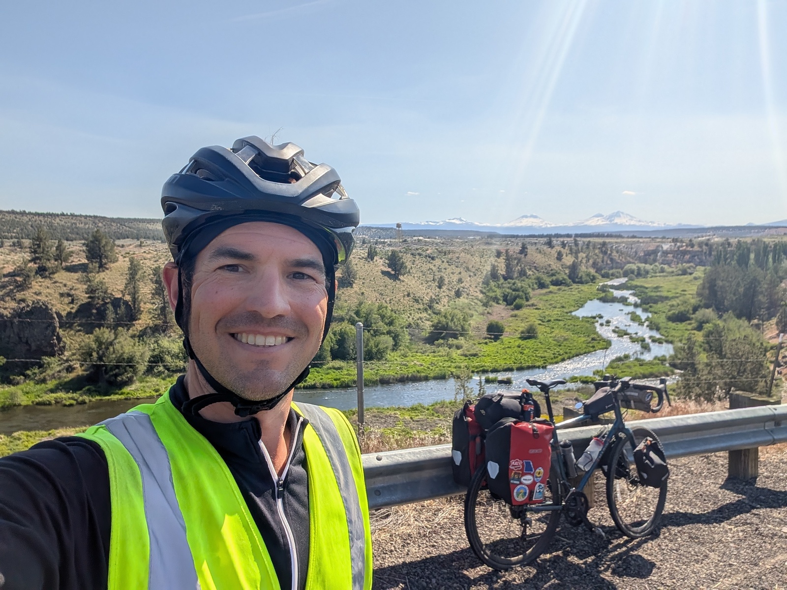
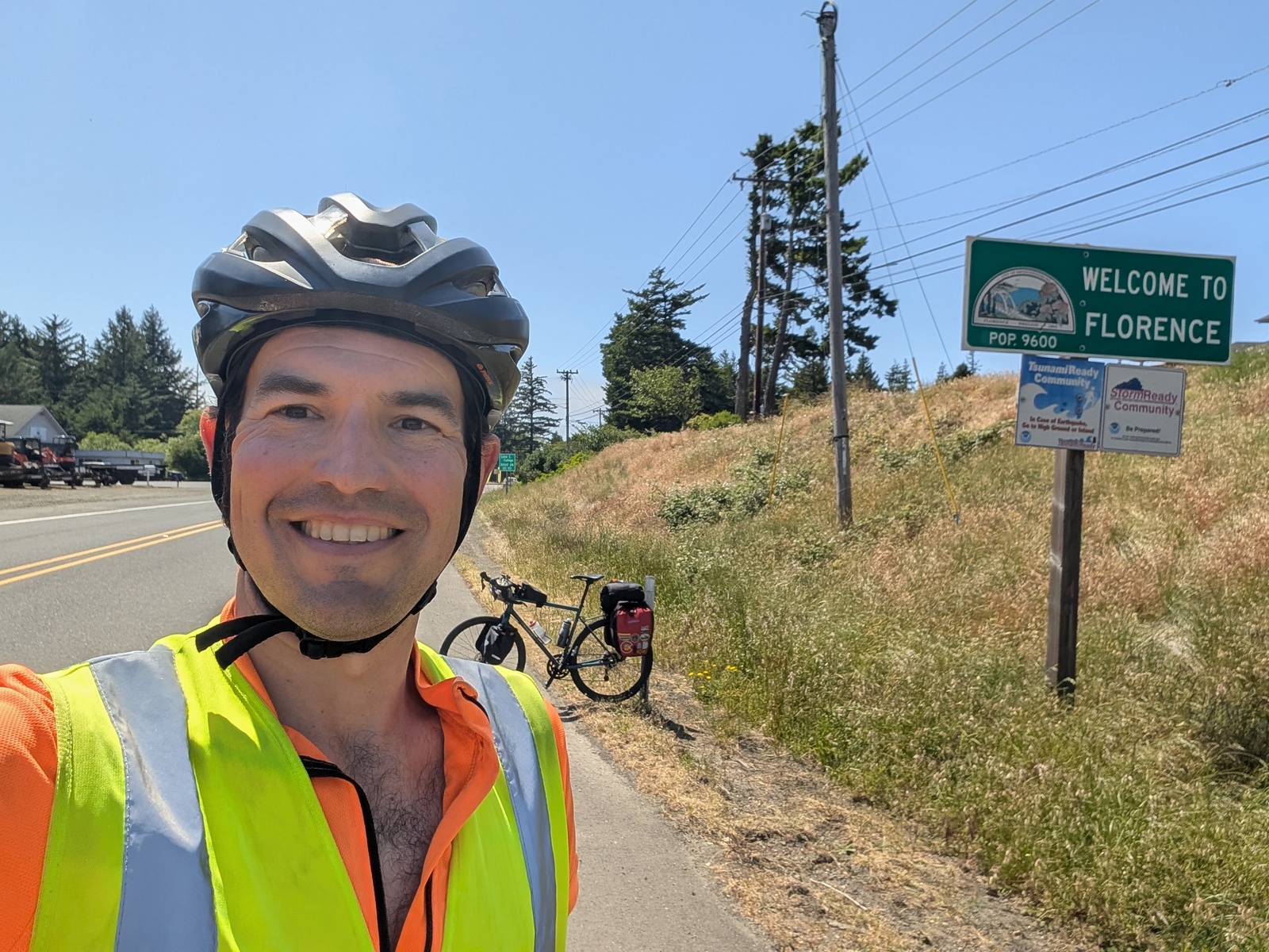
There, I joined up with D and his family to ride the last few days down to the Oregon coast. As we approached sea level, the riding got easier until we arrived in Florence.
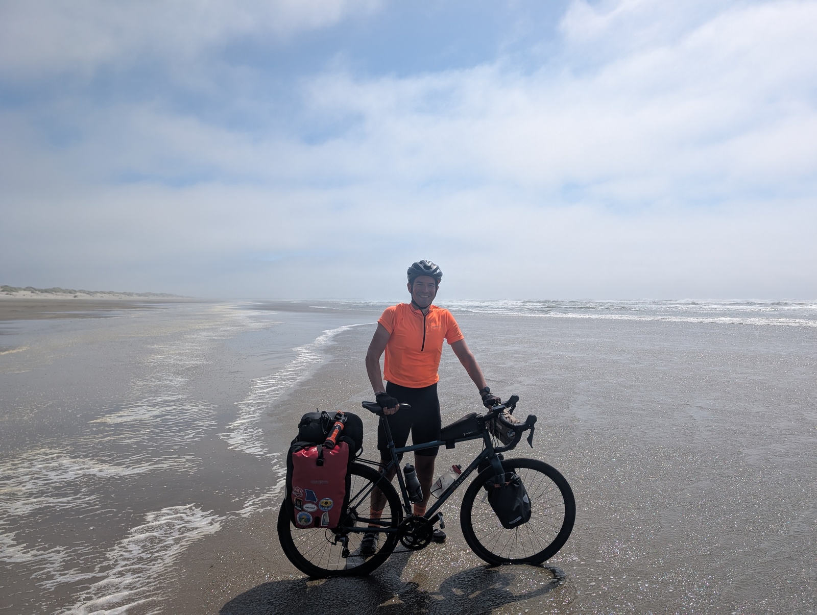
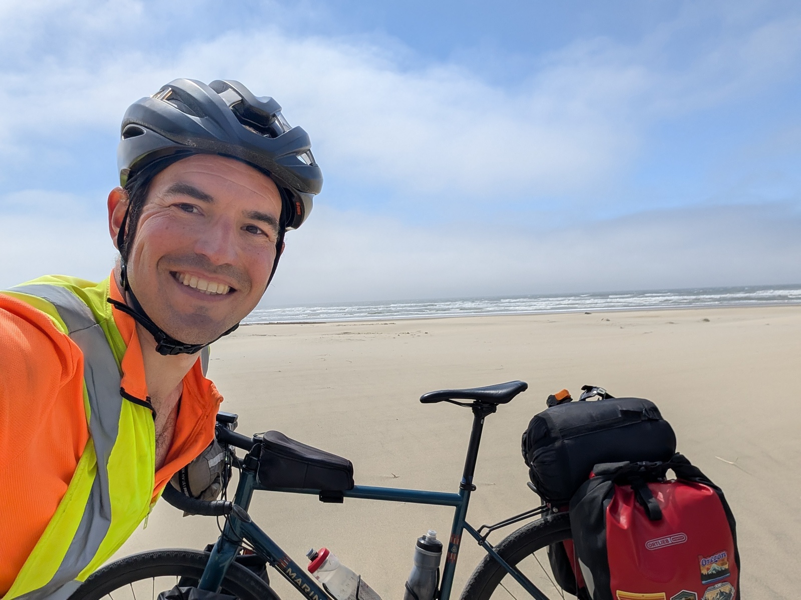
The last five miles to the beach were along Highway 1 with brutal headwinds and sand, and as I dragged my bike out to the beach, the bags acted like a sail and blew the bike around. Nothing is easy, kids. But hey, I made it!
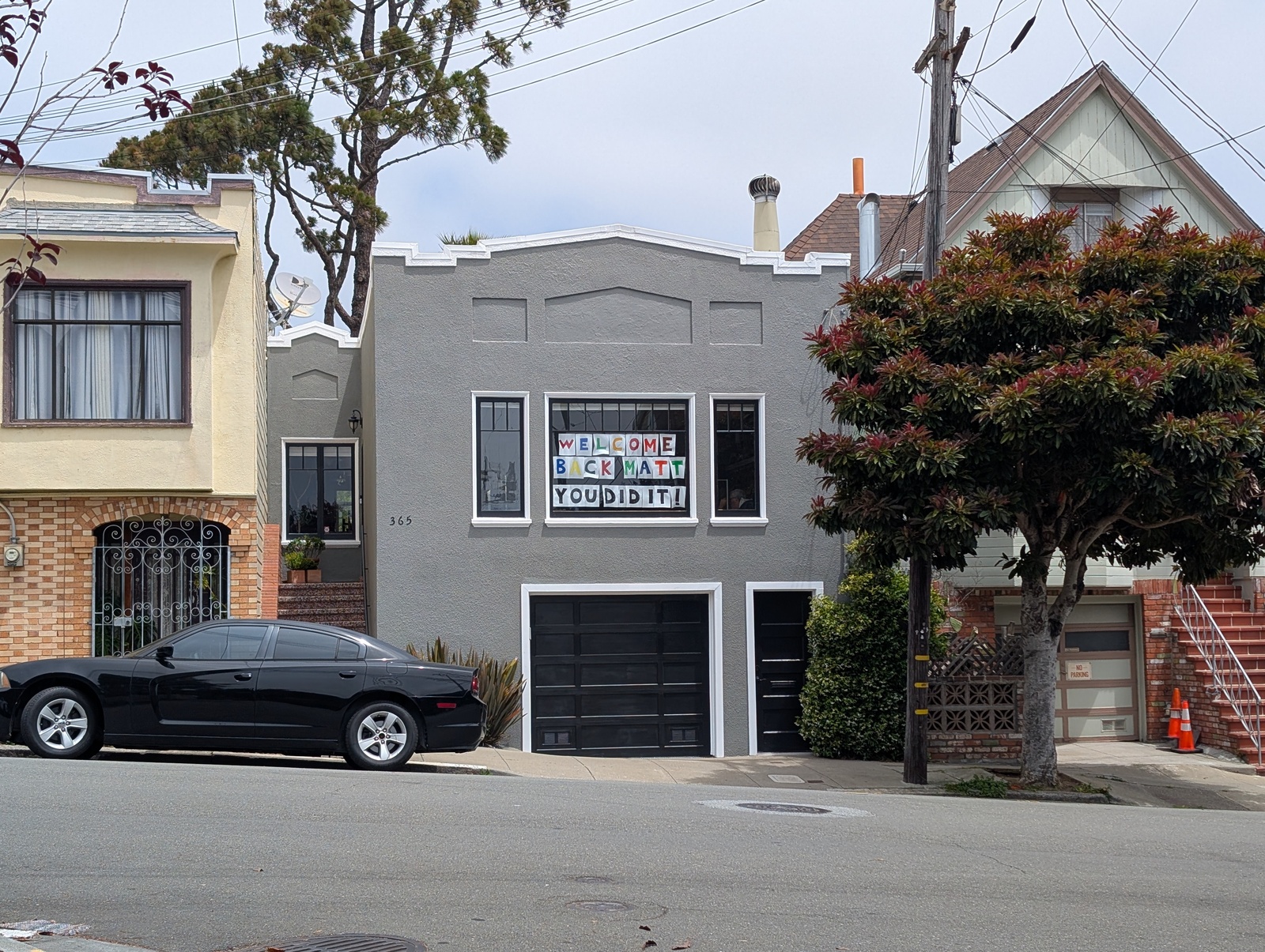
I rode with D’s family in their car up to Portland, where we all stayed with Z and L. I took a buffer day to sort out my stuff and pack my bike. The next morning, I flew back home and found two welcome-home banners!
Gear
I used the tech I brought on this trip every day, and it proved invaluable to a safe and well-routed journey.
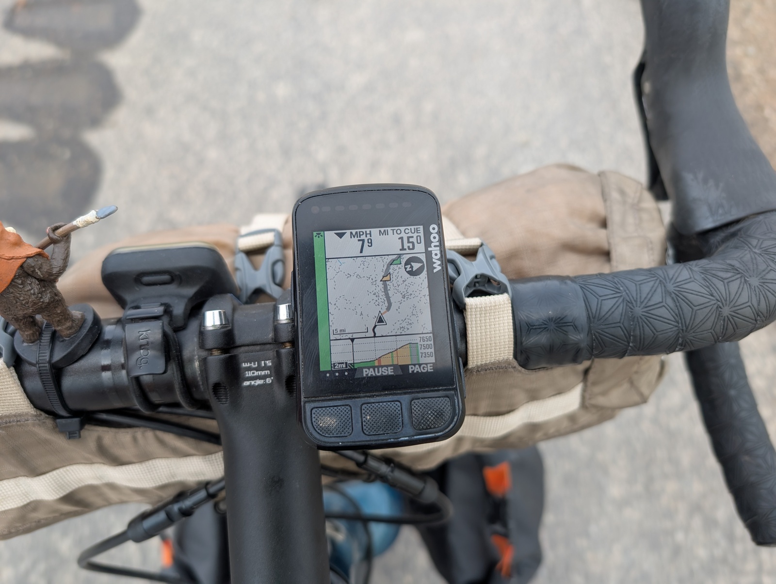
My bike computer is a Wahoo Bolt v2, and I used it for routing and tracking my ride day-to-day. Each morning, I’d load up the day’s route and follow the directions on the map – some folks do this with their phone but I prefer fewer distractions on the road. Each evening, I would sync my ride to Strava and get statistics like distance, elevation gain, etc. On the second day of the trip, probably in the rain on the C&O Trail, the thermistor and barometer stopped working, so my temperature and elevation estimates were off while I was riding, but the latter was easy enough to fix in Strava after uploading them.
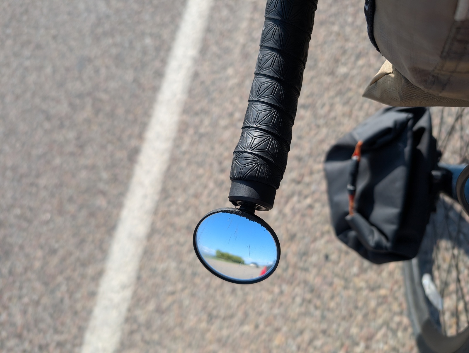
I used a Garmin RTL515 tail light, and it was a game changer. It’s a tail light with a radar built into it, and every time a car would approach from behind, I got an alert and a chirp on my bike computer. When a car was approaching above a certain speed, the chirp was much louder. The scariest thing about riding on highways is when a car passes quickly without giving extra space to a cyclist in the shoulder (getting “buzzed”). With the radar, I had a warning that a car was coming so I could check my rear view mirror, assess whether they would give me extra space, and move further into the shoulder if necessary. Worst case, I wouldn’t be surprised if a car did buzz me. The radar also gave me the relative position of cars coming up behind me, so I knew without looking back whether it might be safe to change lanes – of course, if the radar were clear, I’d still check over my shoulder!
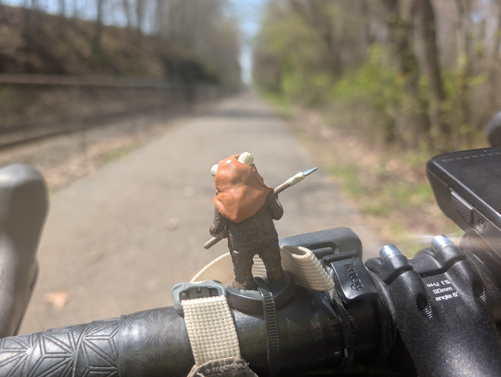
My kids packed me companions for the road. I had a tiny model Ewok named Cherry Nose ziptied to my handlebar like a prow maiden and a bracelet that I wore throughout the trip. These are well-traveled keepsakes, and I’m glad they survived the journey!

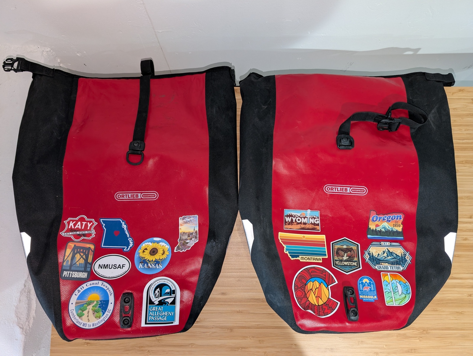
I did some souvenir shopping to mail home to my family, and for myself, I collected at least one sticker from each state. When I finished, both of my bags were covered, one with stickers from the east and one with stickers from the west.
Mechanical adventures
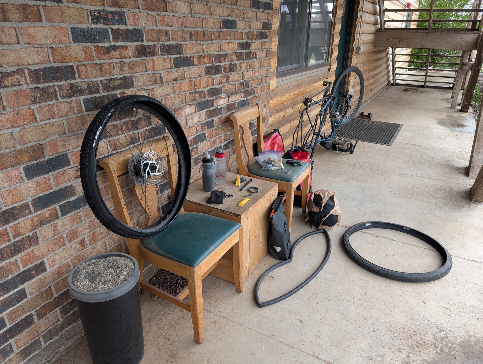
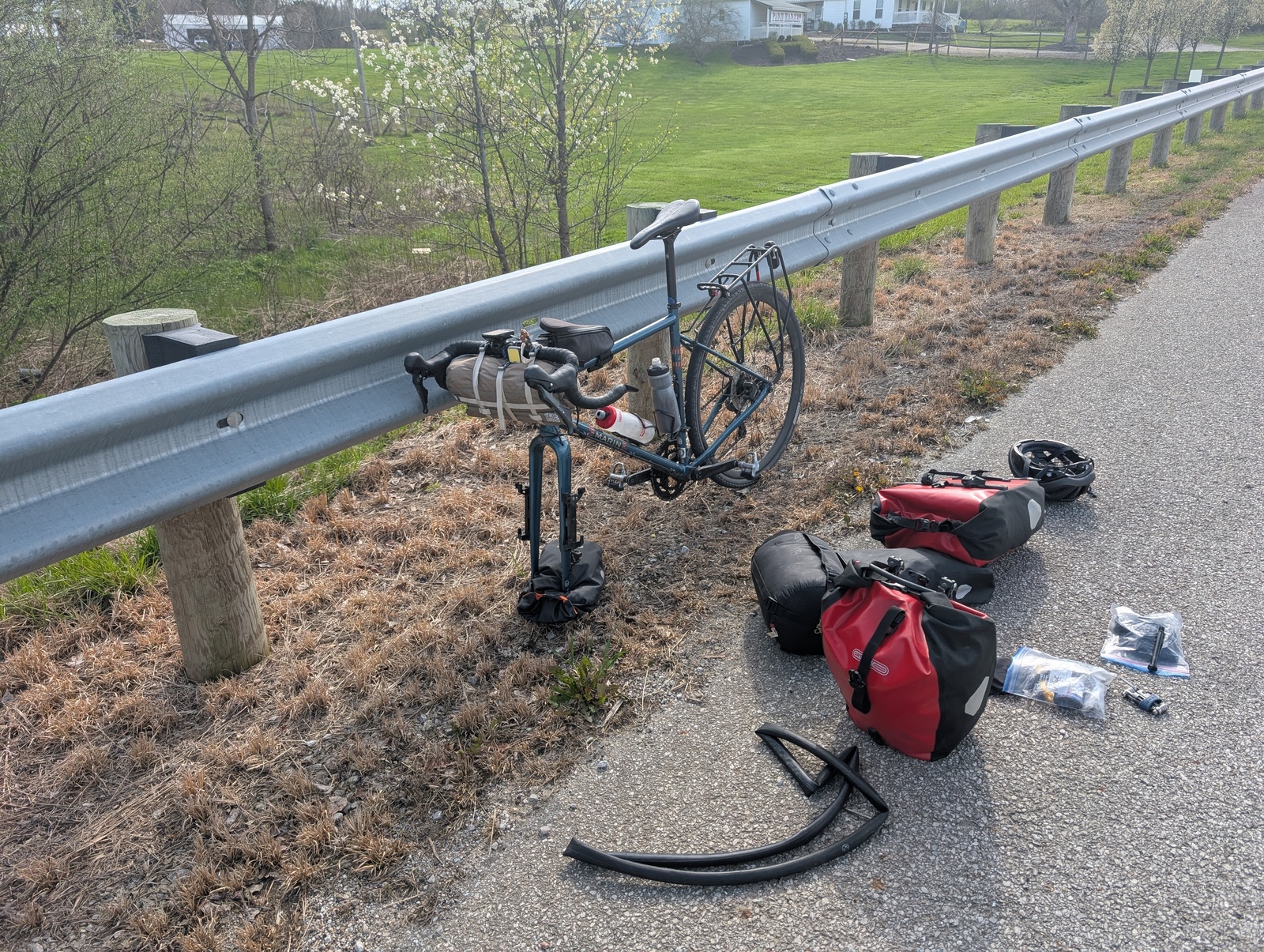
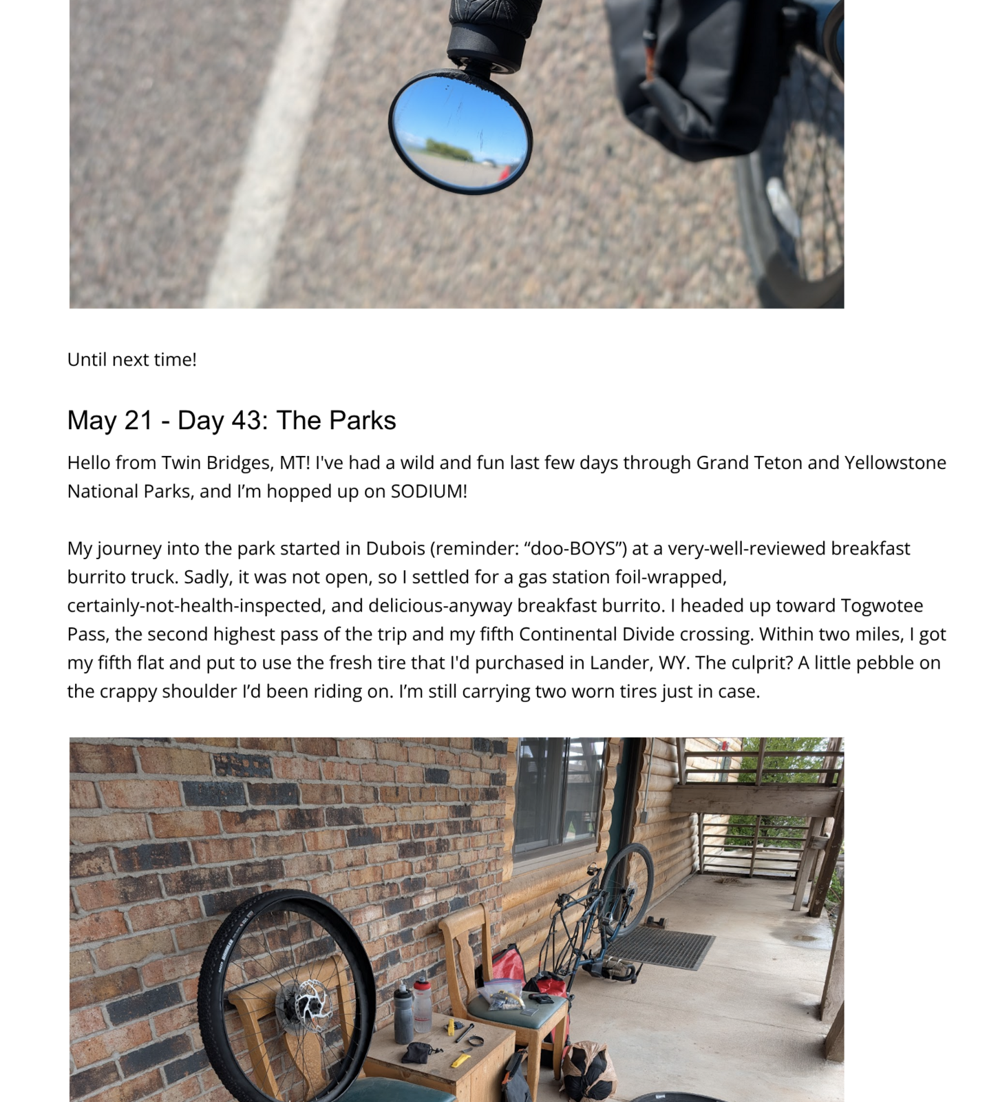
For the most part, my bike held up well, though I wish that I’d switched to tubeless tires or at least put on more durable tires before I started. I underestimated how quickly tires wear under load, varied road conditions, and lots of climbing. I didn’t have confidence in my tires for much of the trip, and it didn’t feel great. About a third of the way through, I switched from 37mm tires to 40mm tires, and that felt better. Fortunately, I got a lot of practice fixing flats in a variety of weather and road conditions, and I was never close to running out of tubes.
I had zero issues with the drivetrain on the road. At each bike shop I passed, I asked them to check the chain and ended up getting it replaced twice.
I also should have switched my cleat system before I left. SPD-SL cleats have their advantages, but they’re not meant for as much walking around, especially in dirt and gravel. They got mangled quickly and when they got muddy, it became difficult to clip in.
Listening
Along the way, I listened to a lot of audiobooks, podcasts, and music along the way with an earbud in my right ear so I could hear the road. Where possible, I tried to listen to books about the part of the country I was riding through, including Demon Copperhead (opiod crisis in the Appalachians), The Worst Hard Time (dust bowl in Kansas), and several books about Lewis and Clark as I followed their trail through Montana, Idaho, and parts of Oregon.
Music-wise, I ended up sticking to my favorites rather than branching out, and STP’s Core and Alice in Chains’ Dirt got me through some miserable climbs. I also listened to the Pearl Jam studio catalog in reverse chronological order and discovered some gems that I hadn’t heard in a long time.
Lodging
I sampled a great variety of lodging options on the trip. For the most part, I stayed in 2-star motels. They had the right balance of warm showers and fresh linens, availability of guest laundry services when I needed them, and affordability, even if I got sick of eating powdered eggs every morning I stayed there. Friends and family in Ohio and Missouri hosted me, and I’m grateful to B and J and L and B for opening their homes!
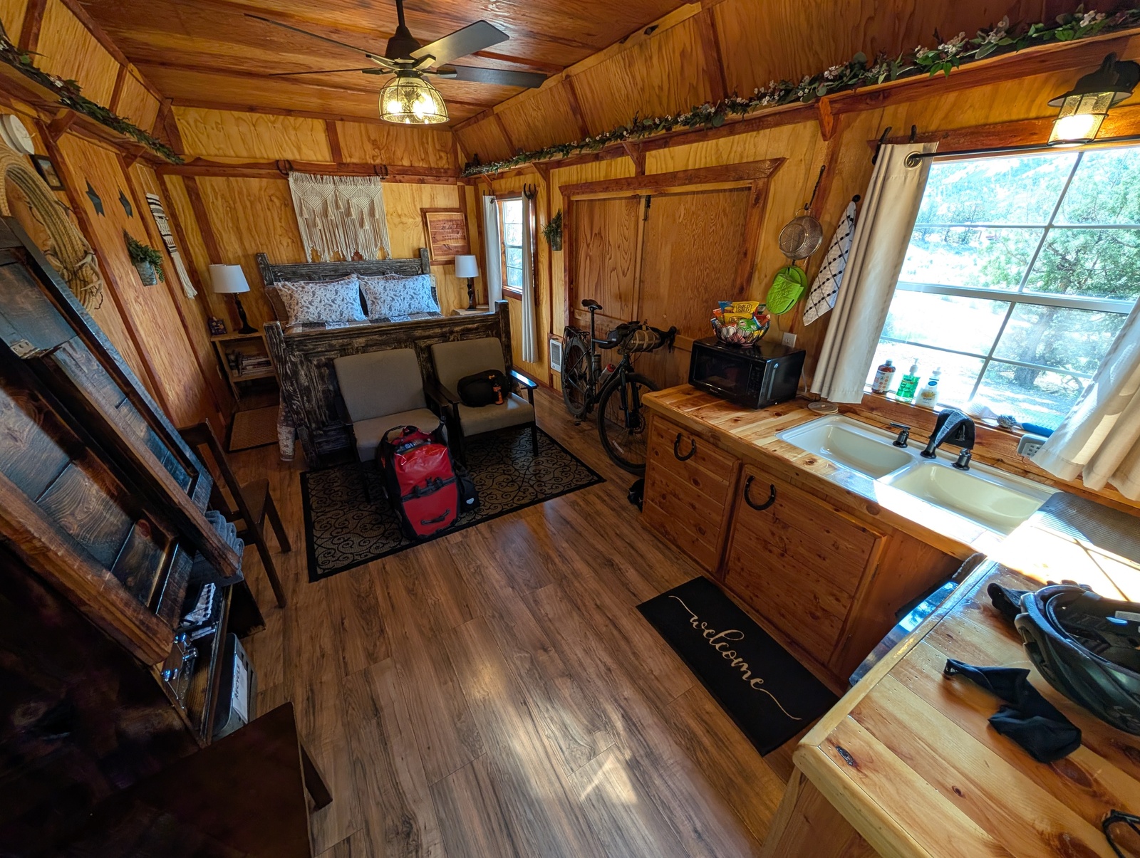
I stayed in a few Airbnbs, which had the added benefit of being able to cook a fresh meal for myself. One of those Airbnbs was a tiny cabin outside of Mitchell, OR that had an outdoor shower, an outhouse, and a grill.
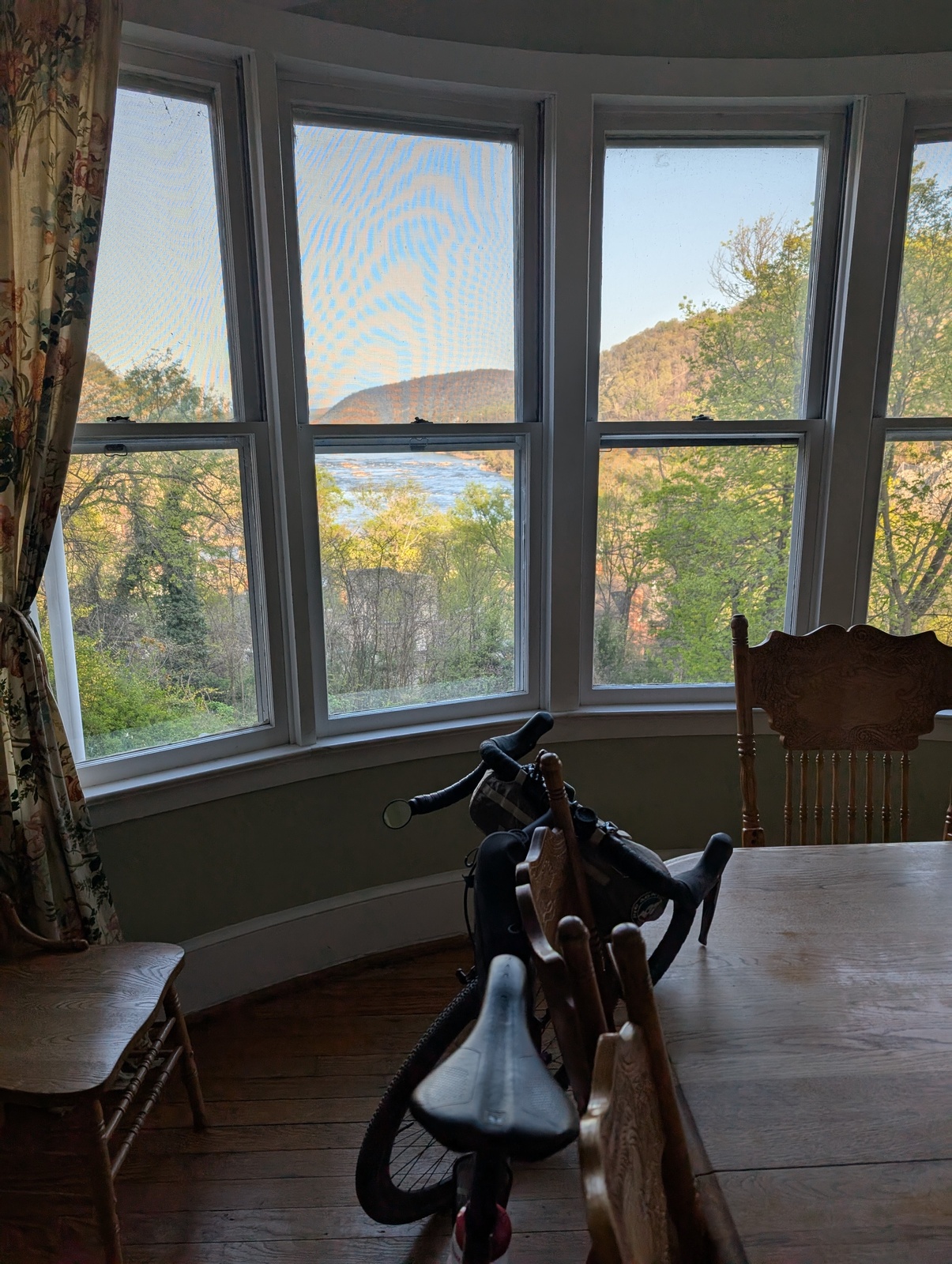
On the first night of the tour in Harper’s Ferry, J and I stayed in a Potomac Appalachian Trail Club “cabin”, one of the ~50 cabins the group maintains for folks hiking the AT. J had to get a $40 membership, and we stayed in a four-bedroom house with a fabulous view for $100/night. Wow!
I camped only a few times – it was too cold and rainy for most of my trip, and I was fortunate to have the option to stay in a motel instead. When I did camp, the stars were beautiful and the mornings were chilly.
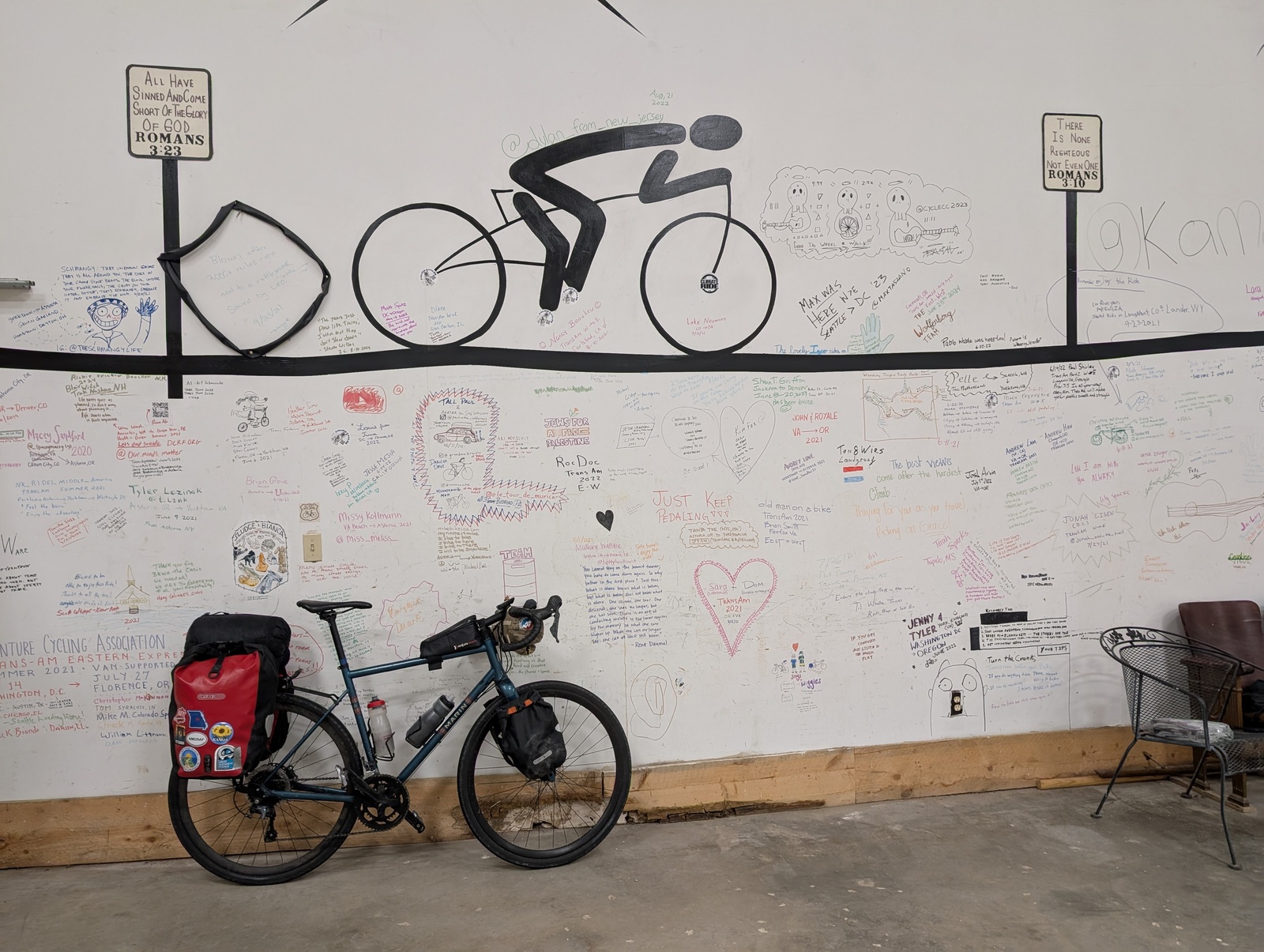
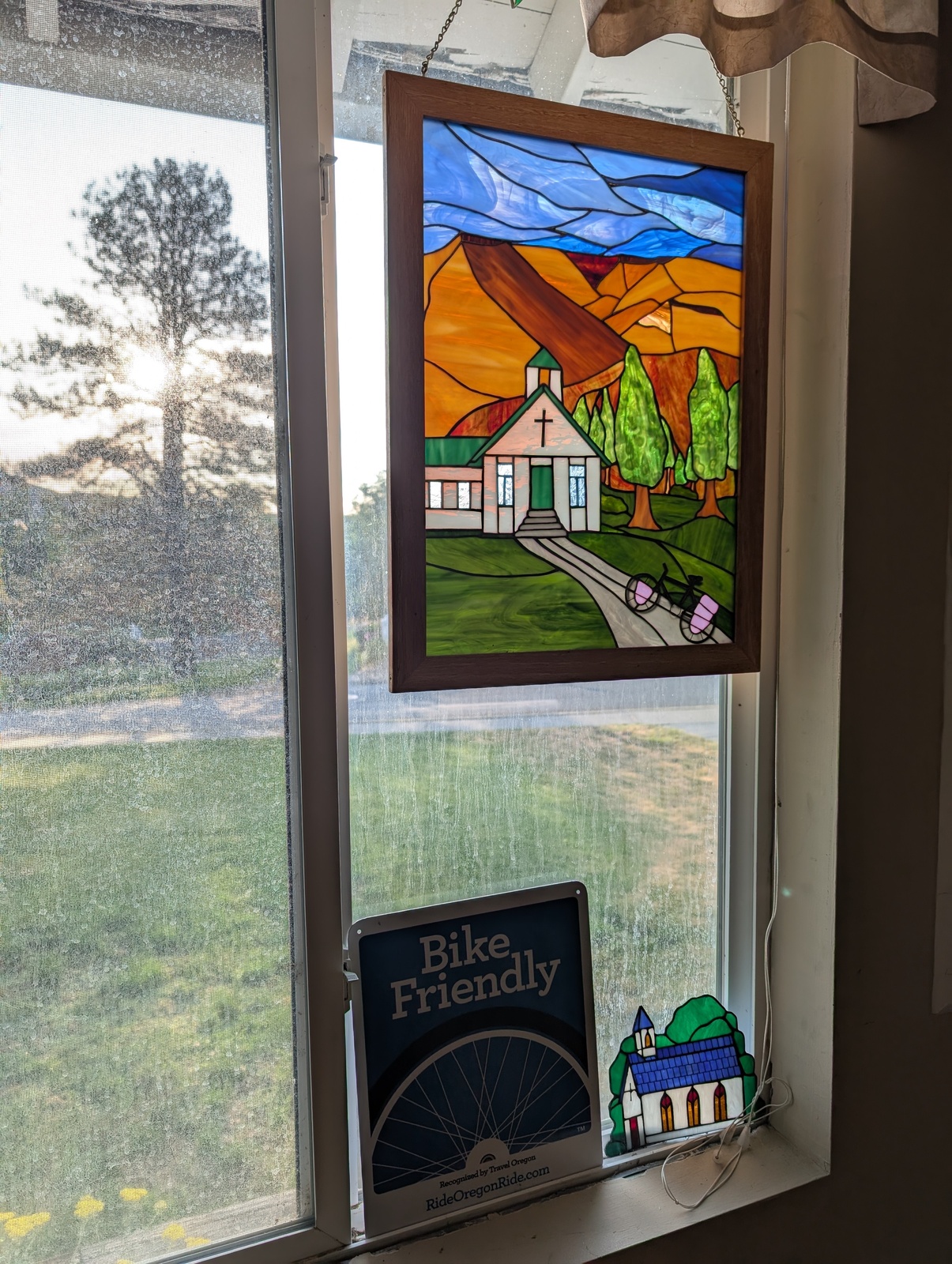
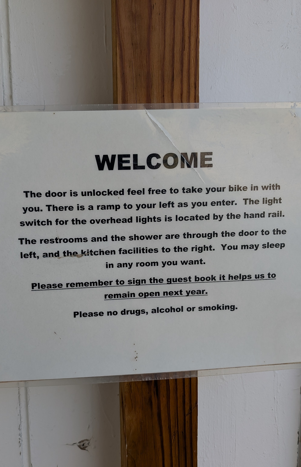
The most memorable places to stay were the church hostels. In Jeffrey City, WY and Dayville, OR, the churches open their parish halls to cyclists. They have kitchens and cooking utensils, and in Dayville, a pantry full of dry goods available. They ask that you sign the guest book and clean up after yourself. In both places, I stayed alone, but I imagine that it would have been a good opportunity to meet fellow cyclists. Actions speak much louder than words, and these churches’ kindness to travelers is a strong demonstration of God’s love!
Food
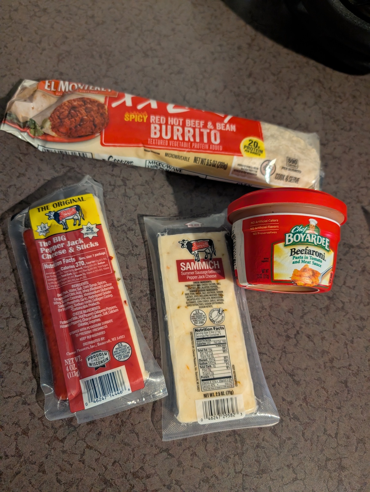
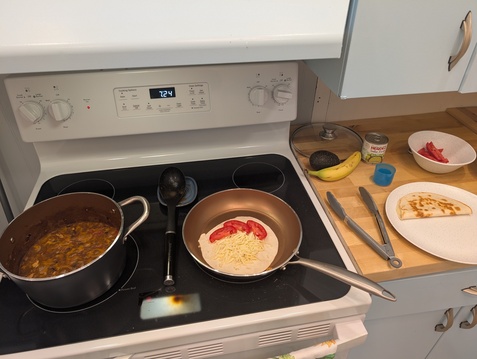
Food is my favorite subject, and burning as many calories as I did, I ate a lot of it. As much as I could, I tried to eat healthy (high protein, fruits and vegetables), but it wasn’t easy. I became well acquainted with gas station cuisine, usually for protein shakes and snacks but sometimes full meals when there weren’t other options or I arrived too late – seriously, what dinner restaurant closes at 7pm?
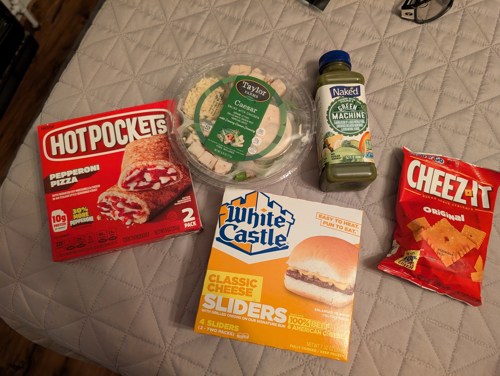
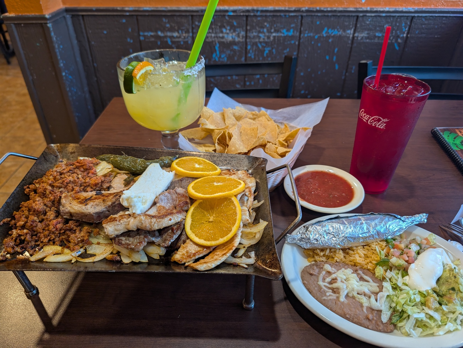
America is a place with varied cultures and interests, but one thing we are united on is how much we love pizza and cheeseburgers – like The Beatles or Christmas music, I avoided them as much as I could and still got about as much as I wanted. The Mexican food was surprisingly excellent and not horribly unhealthy, and going to those restaurants was a chance to practice my Spanish!
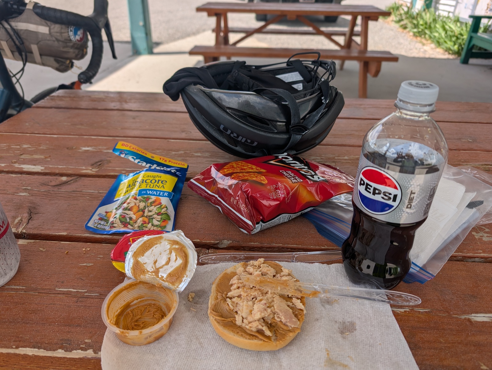
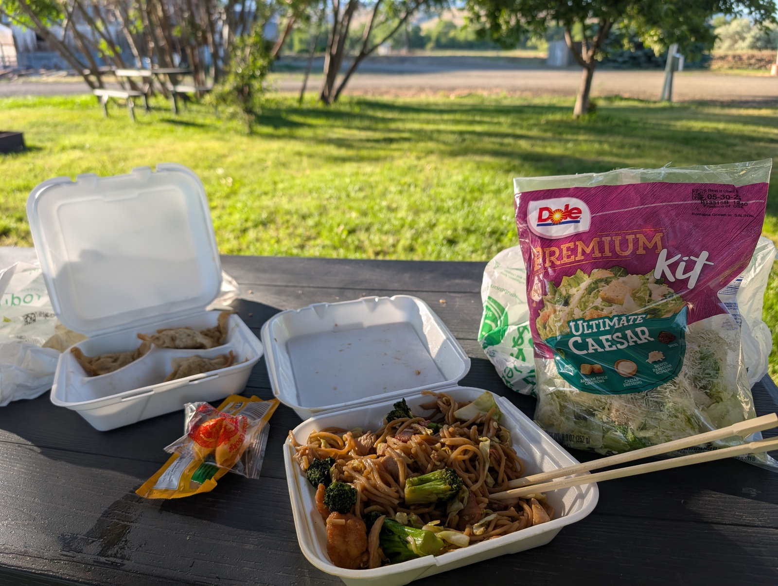
When camping or riding through places where I wasn’t guaranteed to be able to get food, I packed individual peanut butter servings, tuna, and bread. It wasn’t my favorite meal, but it certainly did the trick! Once, when camping, I found a Chinese restaurant and chowed down on chow mein with a side of bagged salad for the semblance of anything healthy.
Some of the best meals I had were grocery-store purchases cooked in an Airbnb. I often bought enough food to make dinner, breakfast, and sandwiches the next day. I could feel the difference when my body burned cleaner fuel vs. gas station garbage.
One of those Airbnbs included a basket of snacks, and I don’t think the host expected me to eat all of them.
Riding solo
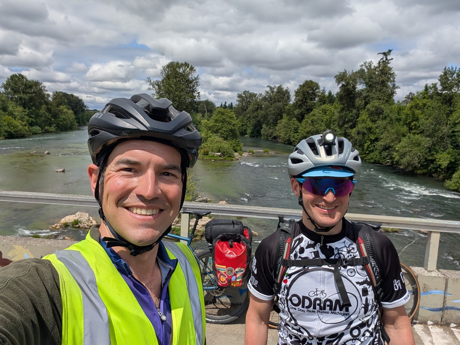
My journey may have been on my own, but I felt very supported along the way. I saw a lot of friends and family on the way, and I was fortunate to have folks willing to cycle with me for 7 of the 54 riding days!
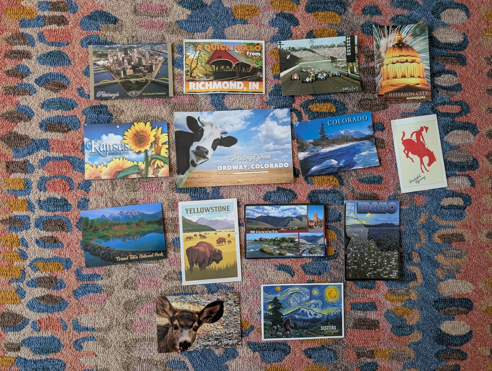
I called my family almost every day and sent them postcards whenever I had the opportunity.
The kids tracked my progress with a magnet along a large map of the United States, learning about the country’s geography at the same time that I did!
Finally, I kept a travelogue, a running Google Doc with updates, reflections, and photos every few days. I had more than 120 people following and cheering me on! I’m glad I spent so much time documenting my thoughts along the way. As soon as I wrote each update, I went right back to planning for shelter and sustenance, and I wouldn’t have remembered much without the notes to jog my memory.
As supported as I felt, I was still very glad to see my family, and they were happy to have me back!
Wrap
Some folks asked whether I had any major breakthroughs of thought or personal revelations on this trip, and I think the biggest epiphany was giving myself permission not to have one. The added pressure of discovering myself in addition to figuring out how to feed and shelter myself each day, often on the fly, is not what I needed. I’m still digesting this journey, and there is plenty of time for self-discovery now that I’m home.
One of my favorite parts of experiencing America at 12mph was the people I met along the way. As an extrovert on a solo trip, I had no problems striking up conversations with random strangers, and they all turned out to be positive experiences. I learned about life in places I didn’t know existed, and I made some new friends along the way. I’d also like to think that I served as a good ambassador for California, hopefully changing some minds about the people who live in San Francisco. I felt the kindness of strangers, too. More than once, I left a restaurant to find that my bill had been paid by the folks I was talking to, and a nice man stopped while I was pulled over in Idaho, offering me a cold energy drink and a nice conversation.
As I reflect on the trip, I’ve been thinking about the mental muscles I had the chance to flex on the journey. Resilience – being able to endure circumstances that are difficult to change – was previously a strong muscle, and I had plenty of opportunities to develop it further. I rerouted on the fly to avoid mud, figured out how to feed and shelter myself when options were scarce, and I powered through crazy headwinds and miserable weather from time to time. One thing I was particularly looking forward to on the trip was to have more opportunities for whimsy – getting pulled in a direction that wasn’t what I’d originally planned – since I know that I can be better at inviting or incorporating alternatives. In my vision for the trip, I’d meet cyclists along the way that would encourage me to do fun side quests, go on adventures I otherwise wouldn’t have, or otherwise change my journey for the better. But, while I met folks and asked for suggestions along the way, I didn’t run into anyone (literally, anyone) cycling the same direction, so I didn’t have that many new ideas to incorporate. Alas!
My greatest gratitude goes to my spouse and kids for their resilience and my parents for their support while I was gone for two months. I do a lot around the house, and I left a lot of slack to pick up. I’m glad that I had the chance to make this journey, and I’ll remember these stories forever. Truly, it’s a once in a lifetime opportunity, and hey! I did it!
Upon returning to San Francisco, I reassembled my bike and started riding again, this time crushing personal records on my favorite local rides. It’s amazing how fast one can go with fresh legs and without 40 lbs of stuff on the bike! I also bought a cargo e-bike. I’ve been e-bike curious for a while and I realized that I clearly like cycling, we often have a need for a second car, the kids are only getting heavier, and e-bikes retain their value quite well on the secondary market.
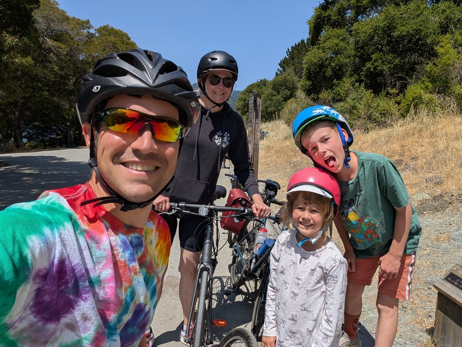
We enjoy riding bikes as a family from time to time, and maybe my family would join me on a future bike tour! Maybe.
Appendix
Route
Packing list
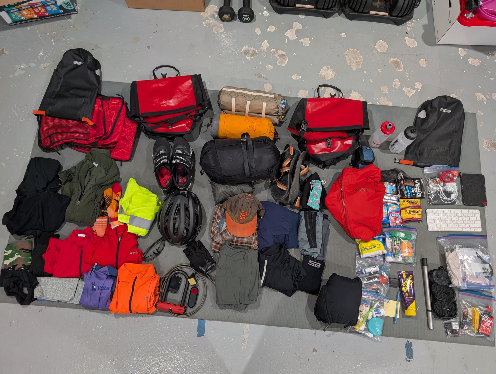
On the bike
- Safety vest (safety first!)
- Helmet
- Biking gloves
- Shoes with cleats
- Transition sunglasses
- 2 water bottles
- Wahoo Bolt v2 bike computer
- Front light
- Garmin Varia RTL515 radar tail light
- Microfiber towel
- Bandana
- Lock & cable
- 2 sets of socks
- 2 bike bibs (Ornot)
- 1 long-sleeve jersey
- 2 short-sleeve jerseys
- 2 sweat bands
- Lightweight rain jacket
- Lightweight fleece
- Lightweight fleece gloves
Notes: 2 water bottles was perfect, and both fit on the bike. I bought a new disposable water bottle every few days depending on how much water I needed for a given segment.
Off the bike
- Sunglasses
- Chacos
- Compression socks
- 2 camping underwear
- 1 camping/zipoff pants
- 1 camping button-down shirt
- 1 long-sleeved running shirt
- 1 lightweight running shorts
- Compressible down jacket
- Swimsuit
- Baseball hat
- Beanie
Notes: Didn’t end up using the compression socks as much as I thought I would. Beanie felt superfluous at times, but when I needed it, boy I needed it. Sent the running shorts home when I realized I could do laundry in my swimsuit.
Camping
- Ultralight 1-person tent
- Tent footprint
- Inflatable sleeping pad
- Down sleeping bag
- Ratchet strap for sleeping bag / rack
Notes: Ratchet straps turned out to be unnecessary when I realized I could attach the pannier straps to the sleeping bag, but they might have been helpful in if I’d needed to hitchhike out of a sticky situation.
Repair
- Grocery bags
- Garbage bags
- Ziplock bags
- Zipties
- Small duct tape roll
- Extra ratchet strap
- 3 tire levers
- 2 spare tubes
- 2 patch kits
- Topeak rechargeable air pump
- Presta/schrader valve conversion (for gas station air pumps)
- Extra cleat bolts
- Multi-tool
- Screwdriver
- Chain lube
- 2 bike lock keys
Notes: Should have packed extra cleats since SPD-SLs were so poorly suited for the type of travel I was doing. Duct tape roll was very helpful!
Food
- Protein powder packets
- Emergen-C packets
- Honey Stingers
- Energy bars
Notes: All of this was unnecessary. Food was readily available everywhere and I only ended up carrying enough for the next couple of days.
Tech
- Headphones
- Kindle
- Bluetooth keyboard
- 10000mAh battery pack
- USB wall charger (2 USB-C, 2 USB-A)
- 2 microUSB cables (camera, Kindle, tail light)
- USB-C (phone, battery, bike computer)
- 1 USB-C-to-C cable
- 1 USB-A-to-C cable
- 1 watch charging cable
Notes: Propping up my phone against a wall or a glass while typing on the Bluetooth keyboard was a great and lightweight solution. My thumbs and eyes were grateful. Also, having a charger with multiple USB ports was key to charge everything at once.
Toiletries
- Medical kit
- Toothbrush
- Toothpaste
- Floss
- Deodorant
- Retainer
- Chapstick
- Comb
- Razor
- Shaving cream
- Nail clippers
- Nail file
- Ibuprofen
- Antihistamine spray (just in case)
- Sunscreen
- Bug spray
- Hand sanitizer
- Dish soap (for washing clothes)
- Gold Bond powder
- Chamois butt’r
Notes: Sent the hand sanitizer and dish soap home. Didn’t end up using the bug spray or the antihistamine spray, but I’m glad I had them. Yes, I still wear the same retainer from when I was sixteen.
Misc
- Playing cards to mark days
- Packing cubes (to compress all this crap down)
- Pen
- Postcard stamps
- Traveling companions (1 from each kid)